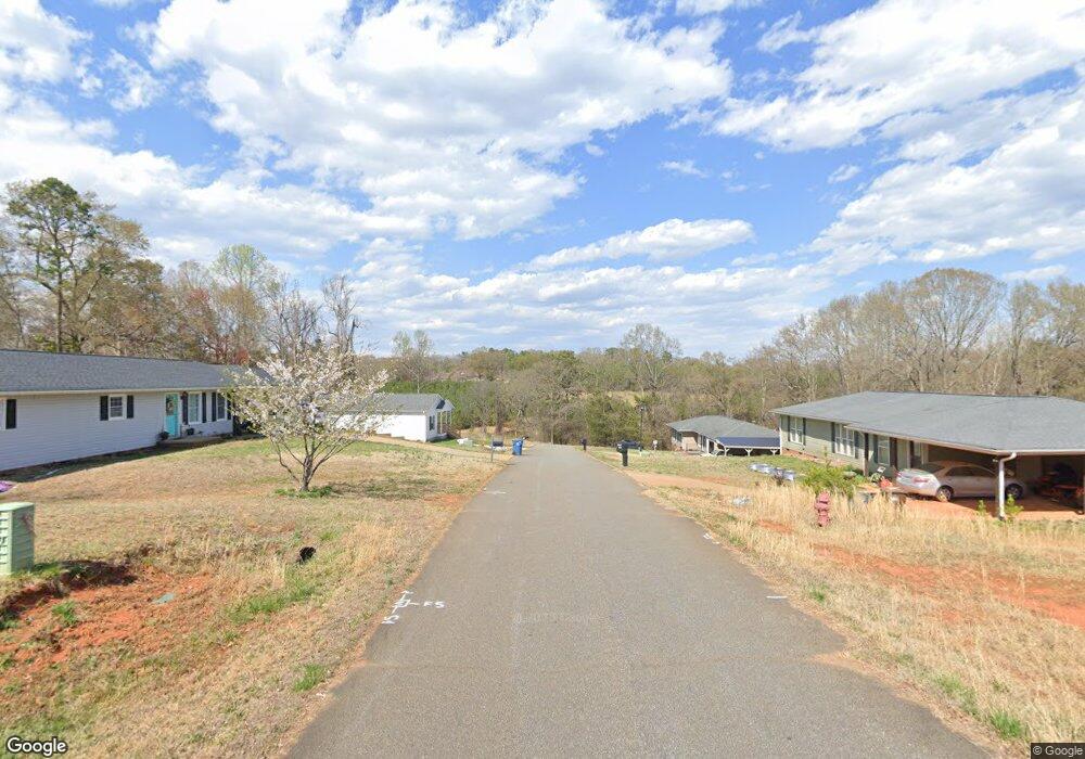
0 Shadowgate Dr Unit 3433037 Forest City, NC 28043
Estimated Value: $247,000 - $261,157
3
Beds
2
Baths
1,326
Sq Ft
$192/Sq Ft
Est. Value
About This Home
This home is located at 0 Shadowgate Dr Unit 3433037, Forest City, NC 28043 and is currently estimated at $254,079, approximately $191 per square foot. 0 Shadowgate Dr Unit 3433037 is a home located in Rutherford County with nearby schools including Forest City-Dunbar Elementary School, East Rutherford Middle School, and East Rutherford High School.
Ownership History
Date
Name
Owned For
Owner Type
Purchase Details
Closed on
Apr 9, 2024
Sold by
Notardonato Rebecca
Bought by
Prescott Holding Group Llc
Current Estimated Value
Purchase Details
Closed on
Oct 1, 2020
Sold by
Cummings Timothy Brad and Cummings Sarah Callahan
Bought by
Notardonato Rebecca
Purchase Details
Closed on
Mar 22, 2019
Sold by
Fetheroff William G
Bought by
Cummings Timothy Brad
Purchase Details
Closed on
Apr 12, 2013
Sold by
Jones John W
Bought by
Fetherolf William G
Create a Home Valuation Report for This Property
The Home Valuation Report is an in-depth analysis detailing your home's value as well as a comparison with similar homes in the area
Home Values in the Area
Average Home Value in this Area
Purchase History
| Date | Buyer | Sale Price | Title Company |
|---|---|---|---|
| Prescott Holding Group Llc | $10,000 | None Listed On Document | |
| Notardonato Rebecca | -- | None Available | |
| Cummings Timothy Brad | $4,000 | None Available | |
| Fetherolf William G | -- | None Available |
Source: Public Records
Tax History Compared to Growth
Tax History
| Year | Tax Paid | Tax Assessment Tax Assessment Total Assessment is a certain percentage of the fair market value that is determined by local assessors to be the total taxable value of land and additions on the property. | Land | Improvement |
|---|---|---|---|---|
| 2025 | $2,375 | $223,200 | $15,000 | $208,200 |
| 2024 | $83 | $8,000 | $8,000 | $0 |
| 2023 | $125 | $8,000 | $8,000 | $0 |
| 2022 | $125 | $10,500 | $10,500 | $0 |
| 2021 | $92 | $10,500 | $10,500 | $0 |
| 2020 | $92 | $10,500 | $10,500 | $0 |
| 2019 | $92 | $10,500 | $10,500 | $0 |
| 2018 | $76 | $8,500 | $8,500 | $0 |
| 2016 | $76 | $8,500 | $8,500 | $0 |
| 2013 | -- | $8,500 | $8,500 | $0 |
Source: Public Records
Map
Nearby Homes
- 170 Coventry Ln
- 234 Bentwood Dr
- 0 Mulberry St
- 282 Arlington St
- 254 Arlington St
- 179 Sunnyside St
- 385 Arlington St
- 411 Arlington St
- 115 Hill St
- 187 Oakridge Dr
- 324 Harmon St
- 160 Arlington St Unit 164
- 272 Washington St
- 122 Beaver St
- 229 W Liberty St
- 136 S Broadway St
- 187 J Morgan St
- 185 Elizabeth Ave
- 0 Kimbrell Ln
- 150 Holland St
- 8 Shadowgate Dr Unit 8
- 154 Shadowgate
- 139 Shadowgate Dr
- 140 Shadowgate Dr
- 123 Shadowgate
- 237 Valleyview Dr
- 195 Valleyview Dr
- 207 Valleyview Dr
- 265 Valleyview Dr
- 0 Valleyview Dr
- 172 Valleyview Dr
- 238 Valleyview Dr
- 144 Valleyview Dr
- 131 Valleyview Dr
- 154 Furman Dr
- 132 Valleyview Dr
- 327 Valleyview Dr
- 181 Briarwood Ln
- 130 Furman Dr
- 155 Furman Dr