0 Spencer Rd Unit 1242072 Mossyrock, WA 98582
Estimated Value: $51,000 - $120,000
--
Bed
--
Bath
--
Sq Ft
2.46
Acres
About This Home
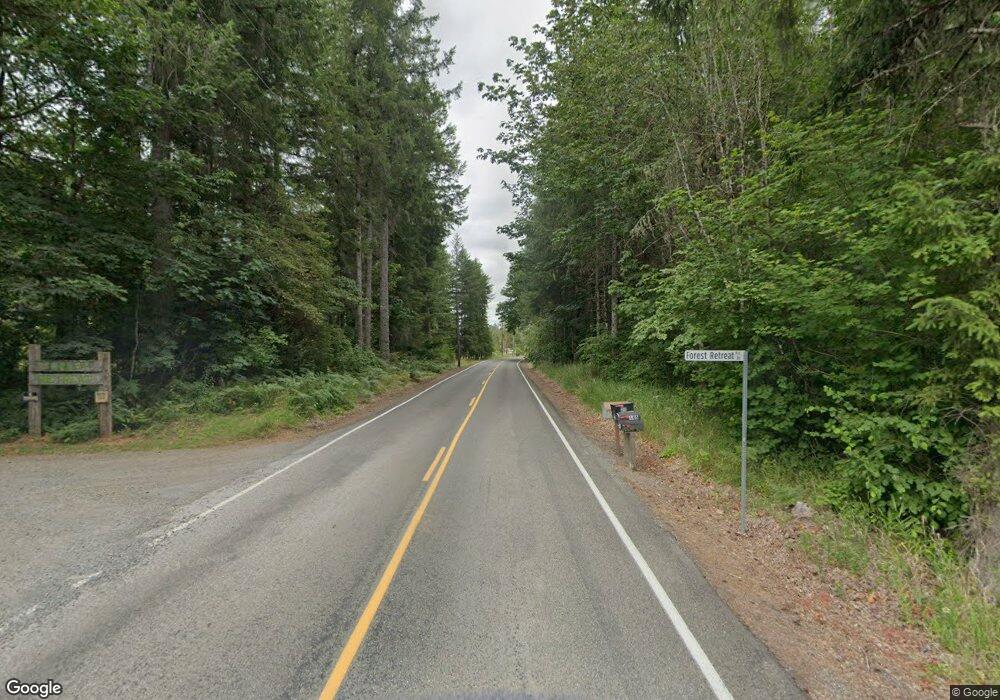
This home is located at 0 Spencer Rd Unit 1242072, Mossyrock, WA 98582 and is currently estimated at $75,959. 0 Spencer Rd Unit 1242072 is a home located in Lewis County with nearby schools including Mossyrock Elementary School and Mossyrock Middle/High School.
Ownership History
Date
Name
Owned For
Owner Type
Purchase Details
Closed on
Jul 12, 2021
Sold by
Wilkey Curtis C and Betty A Clarkston Estate
Bought by
Poston Jeffrey A and Poston Michelle R
Current Estimated Value
Home Financials for this Owner
Home Financials are based on the most recent Mortgage that was taken out on this home.
Original Mortgage
$37,500
Outstanding Balance
$28,660
Interest Rate
2.9%
Mortgage Type
Credit Line Revolving
Estimated Equity
$47,299
Purchase Details
Closed on
Sep 24, 2012
Sold by
Wilkey Curtis and Clarkston Betty
Bought by
Clarkston Betty
Create a Home Valuation Report for This Property
The Home Valuation Report is an in-depth analysis detailing your home's value as well as a comparison with similar homes in the area
Home Values in the Area
Average Home Value in this Area
Purchase History
| Date | Buyer | Sale Price | Title Company |
|---|---|---|---|
| Poston Jeffrey A | $50,000 | Lewis County Title | |
| Clarkston Betty | -- | None Available |
Source: Public Records
Mortgage History
| Date | Status | Borrower | Loan Amount |
|---|---|---|---|
| Open | Poston Jeffrey A | $37,500 |
Source: Public Records
Tax History Compared to Growth
Tax History
| Year | Tax Paid | Tax Assessment Tax Assessment Total Assessment is a certain percentage of the fair market value that is determined by local assessors to be the total taxable value of land and additions on the property. | Land | Improvement |
|---|---|---|---|---|
| 2024 | $572 | $94,600 | $94,600 | -- |
| 2023 | $440 | $69,700 | $69,700 | $0 |
| 2022 | $441 | $55,200 | $55,200 | $0 |
| 2021 | $401 | $55,200 | $55,200 | $0 |
| 2020 | $430 | $46,000 | $46,000 | $0 |
| 2019 | $400 | $46,000 | $46,000 | $0 |
| 2018 | $417 | $41,100 | $41,100 | $0 |
| 2017 | $425 | $39,800 | $39,800 | $0 |
| 2016 | $473 | $41,100 | $41,100 | $0 |
| 2015 | -- | $45,600 | $45,600 | $0 |
| 2013 | -- | $45,600 | $45,600 | $0 |
Source: Public Records
Map
Nearby Homes
- 171 Barrier Dr
- 152 Fuller Rd
- 109 View Point Dr
- 260 Stowell Rd
- 1654 Spencer Rd
- 1956 US Highway 12
- 1950 U S 12
- 2833a U S 12 Unit A
- 2958 U S 12
- 0 Shanklin Rd Unit NWM2414157
- 241 Oxbow Lake Ln
- 231 Oxbow Lake Ln
- 223 Oxbow Lake Ln
- 0 View Ridge Rd Unit NWM2434545
- 169 Rockridge Ln
- 132 Salem Plant Rd
- 223 Oxbow Lake Ln
- 103 Lakeside Dr W
- 126 Sugar Pine Place
- 840 Evans Rd
- 0 Spencer Rd Unit 1273478
- 0 Spencer Rd Unit 975814
- 0 Spencer Rd Unit 975807
- 0 Spencer Rd Unit 975794
- 0 Spencer Rd Unit 964714
- 0 Spencer Rd Unit 787665
- 0 Spencer Rd Unit 653394
- 0 Spencer Rd Unit 29034469
- 0 Spencer Rd Unit 1242068
- 0 Spencer Rd Unit 1242060
- 0 Spencer Rd Unit 656997086
- 0 Spencer Rd Unit NWM95201412
- 0 Spencer Rd Unit NWM95201409
- 0 Spencer Rd Unit NWM95201404
- 0 Spencer Rd Unit NWM95201406
- 0 Spencer Rd Unit NWM2259266
- 0 Spencer Rd Unit NWM2211169
- 0 Spencer Rd Unit NWM2071697
- 0 Spencer Rd Unit 1841742
- 0 Spencer Rd Unit 1806317