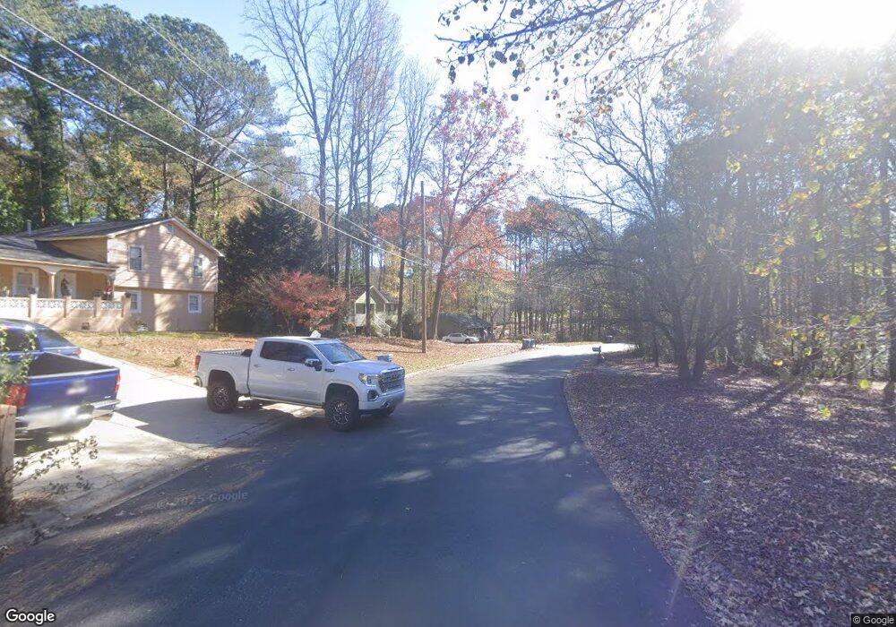
0 Suncrest Dr Unit 1 7552285 Buford, GA 30519
Estimated Value: $345,000 - $359,128
3
Beds
3
Baths
1,250
Sq Ft
$281/Sq Ft
Est. Value
About This Home
This home is located at 0 Suncrest Dr Unit 1 7552285, Buford, GA 30519 and is currently estimated at $351,532, approximately $281 per square foot. 0 Suncrest Dr Unit 1 7552285 is a home located in Gwinnett County with nearby schools including Woodward Mill Elementary School, Twin Rivers Middle School, and Mountain View High School.
Ownership History
Date
Name
Owned For
Owner Type
Purchase Details
Closed on
Aug 23, 2017
Sold by
Not Provided
Bought by
Tah 2017 1 Borrower Llc
Current Estimated Value
Purchase Details
Closed on
Jun 7, 2016
Sold by
Michael L
Bought by
Tah Holding Lp
Purchase Details
Closed on
Aug 6, 2015
Sold by
Bowen Sherry H
Bought by
Bowen Michael L
Create a Home Valuation Report for This Property
The Home Valuation Report is an in-depth analysis detailing your home's value as well as a comparison with similar homes in the area
Home Values in the Area
Average Home Value in this Area
Purchase History
| Date | Buyer | Sale Price | Title Company |
|---|---|---|---|
| Tah 2017 1 Borrower Llc | -- | -- | |
| Tah Holding Lp | $140,000 | -- | |
| Bowen Michael L | -- | -- |
Source: Public Records
Tax History Compared to Growth
Tax History
| Year | Tax Paid | Tax Assessment Tax Assessment Total Assessment is a certain percentage of the fair market value that is determined by local assessors to be the total taxable value of land and additions on the property. | Land | Improvement |
|---|---|---|---|---|
| 2025 | $5,263 | $136,360 | $26,000 | $110,360 |
| 2024 | $5,307 | $136,360 | $26,000 | $110,360 |
| 2023 | $5,307 | $140,600 | $26,000 | $114,600 |
| 2022 | $4,524 | $115,240 | $20,000 | $95,240 |
| 2021 | $3,742 | $92,040 | $17,200 | $74,840 |
| 2020 | $3,067 | $72,880 | $12,000 | $60,880 |
| 2019 | $2,956 | $72,880 | $12,000 | $60,880 |
| 2018 | $2,363 | $56,000 | $12,000 | $44,000 |
| 2016 | $2,170 | $58,480 | $10,000 | $48,480 |
| 2015 | $2,043 | $52,000 | $7,200 | $44,800 |
| 2014 | -- | $47,800 | $7,200 | $40,600 |
Source: Public Records
Map
Nearby Homes
- 2555 Rexs Place
- 1405 Rock Springs Rd
- 1375 Rock Springs Rd
- 2770 Old Ivy Ct
- 2415 Mitchell Rd
- 2711 Bluffton Rd
- The Colman Plan at The Beacon at Old Peachtree - Townhomes
- The Melisse Plan at The Beacon at Old Peachtree - Single Family Homes
- The Pembrook Plan at The Beacon at Old Peachtree - Single Family Homes
- The Graham Plan at The Beacon at Old Peachtree - Single Family Homes
- 2375 Rock Springs Rd
- 1833 Appaloosa Mill Ct Unit 87
- 1051 Bullpen Bluffs
- 2907 Beaconwood Ct
- 3215 Willow Glade Trail
- 1045 Bullpen Bluffs
- 1057 Bullpen Bluffs
- 2921 Beaconwood Ct
- 1049 Bullpen Bluffs
- 2905 Beaconwood Ct
- 2655 Suncrest Dr Unit 1
- 2655 Suncrest Dr
- 2645 Suncrest Dr
- 1555 Rock Springs Rd Unit 1
- 1555 Rock Springs Rd
- 2650 Suncrest Dr
- 2635 Suncrest Dr
- 1565 Rock Springs Rd
- 2658 Pine Log Ct
- 2651 Pine Log Way
- 2640 Suncrest Dr
- 2630 Suncrest Dr Unit 1
- 2925 Buford Dr
- 1575 Rock Springs Rd
- 2625 Suncrest Dr
- 1515 Rock Springs Rd
- 1570 Hornet Ct
- 2659 Pine Log Ct
- 2661 Pine Log Way
- 2620 Suncrest Dr
