0 Teaswood Dr Conroe, TX 77304
Estimated Value: $283,000
--
Bed
--
Bath
--
Sq Ft
27.77
Acres
About This Home
This home is located at 0 Teaswood Dr, Conroe, TX 77304 and is currently priced at $283,000. 0 Teaswood Dr is a home located in Montgomery County with nearby schools including Eddie Ruth Lagway Elementary, Robert P. Brabham Middle School, and Willis High School.
Ownership History
Date
Name
Owned For
Owner Type
Purchase Details
Closed on
Apr 29, 2022
Sold by
Colony Conservation Project
Bought by
Rodriguez Family Trust
Current Estimated Value
Home Financials for this Owner
Home Financials are based on the most recent Mortgage that was taken out on this home.
Original Mortgage
$500,000
Interest Rate
4.4%
Mortgage Type
Construction
Purchase Details
Closed on
Dec 30, 2016
Sold by
Rodriguez Paige M and Rodriguez John Mathew
Bought by
Colony Ridge Land Llc and Colony Conservation Project
Home Financials for this Owner
Home Financials are based on the most recent Mortgage that was taken out on this home.
Original Mortgage
$460,000
Interest Rate
4.08%
Mortgage Type
Assumption
Purchase Details
Closed on
Jun 15, 2004
Sold by
Rodriguez Family Trust
Bought by
Colony Ridge Land Llc
Create a Home Valuation Report for This Property
The Home Valuation Report is an in-depth analysis detailing your home's value as well as a comparison with similar homes in the area
Home Values in the Area
Average Home Value in this Area
Purchase History
| Date | Buyer | Sale Price | Title Company |
|---|---|---|---|
| Rodriguez Family Trust | -- | Beard & Lane Pc | |
| Colony Ridge Land Llc | -- | Attorney | |
| Colony Ridge Land Llc | -- | -- |
Source: Public Records
Mortgage History
| Date | Status | Borrower | Loan Amount |
|---|---|---|---|
| Closed | Rodriguez Family Trust | $500,000 | |
| Previous Owner | Colony Ridge Land Llc | $460,000 |
Source: Public Records
Tax History Compared to Growth
Tax History
| Year | Tax Paid | Tax Assessment Tax Assessment Total Assessment is a certain percentage of the fair market value that is determined by local assessors to be the total taxable value of land and additions on the property. | Land | Improvement |
|---|---|---|---|---|
| 2025 | $555 | $27,779 | $27,779 | -- |
| 2024 | $543 | $27,779 | $27,779 | -- |
| 2023 | $543 | $27,780 | $27,780 | $0 |
| 2022 | $587 | $27,780 | $27,780 | $0 |
| 2021 | $606 | $27,780 | $27,780 | $0 |
| 2020 | $645 | $27,780 | $27,780 | $0 |
| 2019 | $678 | $27,780 | $27,780 | $0 |
| 2018 | $5,223 | $213,900 | $213,900 | $0 |
| 2017 | $5,243 | $213,900 | $213,900 | $0 |
| 2016 | $186 | $7,580 | $7,580 | $0 |
| 2015 | $1,241 | $7,250 | $7,250 | $0 |
| 2014 | $1,241 | $7,330 | $7,330 | $0 |
Source: Public Records
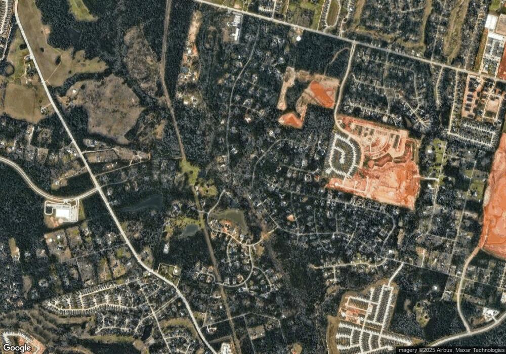
Map
Nearby Homes
- 7373 Teaswood Dr
- 7389 Teaswood
- 7393 Teaswood Dr
- 6970 Longmire Rd
- 10362 Hunter Creek Ln
- 10926 Kaleo Way
- 7417 Teaswood Dr
- 10332 Hunter Creek Ln
- 1770 Succotash Oak Ct
- 1662 Shae Oak Ln
- 10308 Paradise Valley Dr
- 12 Robin Trail
- 2010 Bluff Oak Ct
- 2002 Bluff Oak Ct
- 2007 Bluff Oak Ct
- Meridian Plan at Madeley Creek
- Hickory Plan at Madeley Creek
- Alder Plan at Madeley Creek
- Abilene Plan at Madeley Creek
- Quintera Plan at Madeley Creek
- 00 Teaswood Dr
- 10611 Kaleo Way
- 10647 Kaleo Way
- 7381 Teaswood Dr
- 7377 Teaswood Dr
- 7385 Teaswood Dr
- 10460 Kaleo Way
- 10675 Kaleo Way
- 7386 Teaswood
- 10590 Kaleo Way
- 10515 League Line Rd
- 7393 N Teaswood Dr N
- 7391 N Teaswood Dr N
- 7369 Teaswood Dr
- 10474 Kaleo Way
- 10630 Kaleo Way
- 10540 Kaleo Way
- 7392 Teaswood Dr
- 10751 Kaleo Way
- 10678 Kaleo Way