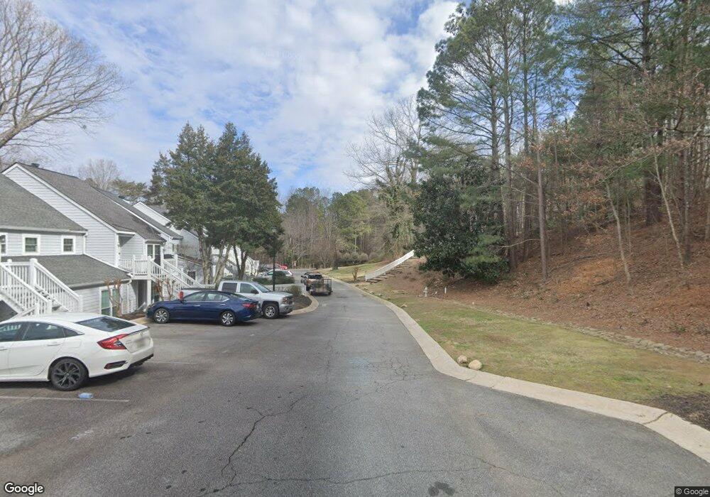
0 Trade Widns Dr Cumming, GA 30041
Estimated Value: $307,469 - $395,000
2
Beds
3
Baths
1,392
Sq Ft
$239/Sq Ft
Est. Value
About This Home
This home is located at 0 Trade Widns Dr, Cumming, GA 30041 and is currently estimated at $332,117, approximately $238 per square foot. 0 Trade Widns Dr is a home located in Forsyth County with nearby schools including Mashburn Elementary School, Lakeside Middle School, and Forsyth Central High School.
Ownership History
Date
Name
Owned For
Owner Type
Purchase Details
Closed on
Nov 27, 2012
Sold by
Lauterer Jeffrey Paul
Bought by
Miao Zisheng and He Jintao
Current Estimated Value
Purchase Details
Closed on
Jul 15, 2005
Sold by
Ford Timothy G
Bought by
Lauterer Jeffrey P
Home Financials for this Owner
Home Financials are based on the most recent Mortgage that was taken out on this home.
Original Mortgage
$105,600
Interest Rate
5.59%
Mortgage Type
New Conventional
Create a Home Valuation Report for This Property
The Home Valuation Report is an in-depth analysis detailing your home's value as well as a comparison with similar homes in the area
Home Values in the Area
Average Home Value in this Area
Purchase History
| Date | Buyer | Sale Price | Title Company |
|---|---|---|---|
| Miao Zisheng | $78,000 | -- | |
| Lauterer Jeffrey P | $132,000 | -- |
Source: Public Records
Mortgage History
| Date | Status | Borrower | Loan Amount |
|---|---|---|---|
| Previous Owner | Lauterer Jeffrey P | $105,600 |
Source: Public Records
Tax History Compared to Growth
Tax History
| Year | Tax Paid | Tax Assessment Tax Assessment Total Assessment is a certain percentage of the fair market value that is determined by local assessors to be the total taxable value of land and additions on the property. | Land | Improvement |
|---|---|---|---|---|
| 2025 | $2,798 | $120,560 | $58,000 | $62,560 |
| 2024 | $2,798 | $114,120 | $58,000 | $56,120 |
| 2023 | $2,408 | $97,840 | $44,000 | $53,840 |
| 2022 | $2,133 | $69,160 | $30,000 | $39,160 |
| 2021 | $1,910 | $69,160 | $30,000 | $39,160 |
| 2020 | $1,904 | $68,960 | $30,000 | $38,960 |
| 2019 | $1,841 | $66,560 | $22,000 | $44,560 |
| 2018 | $1,424 | $51,480 | $14,000 | $37,480 |
| 2017 | $1,171 | $42,200 | $14,000 | $28,200 |
| 2016 | $1,171 | $42,200 | $14,000 | $28,200 |
| 2015 | $912 | $32,800 | $10,000 | $22,800 |
| 2014 | $818 | $30,880 | $0 | $0 |
Source: Public Records
Map
Nearby Homes
- 3705 Tradewinds Dr
- 3706 Tradewinds Dr
- 2995 Hamilton Rd
- 3200 Rim Cove Dr Unit 172
- 3200 Rim Cove Dr Unit 116
- 2935 Hamilton Rd Unit IV
- 3235 Southshore Ct
- 3430 Lake Shore Dr
- LOT 51 Brook Valley Dr
- LOT 50 Brook Valley Dr
- LOT 48 Brook Valley Dr
- LOT 52 Brook Valley Dr
- LOT 47 Brook Valley Dr
- LOT 54 Brook Valley Dr
- 2420 Wanda Woods Rd
- 2835 Evan Manor Ln
- 2765 Port Bow Ln
- 2575 Maple Park Place
- 2802 Buford Dam Rd
- 2205 Forest Dr
- 3502 Trade Widns Dr
- 3502 Tradewinds Dr
- 3502 Tradewinds Dr
- 3502 Tradewinds Dr Unit 3502
- 3501 Tradewinds Dr
- 3406 Tradewinds Dr
- 3504 Tradewinds Dr
- 3504 Tradewinds Dr Unit 3504
- 3405 Tradewinds Dr
- 3405 Tradewinds Dr Unit 3405
- 3503 Tradewinds Dr
- 3503 Tradewinds Dr
- 3404 Tradewinds Dr
- 3506 Tradewinds Dr Unit 2004
- 3506 Tradewinds Dr
- 3403 Tradewinds Dr
- 3505 Tradewinds Dr Unit CO4
- 0 Tradewinds Dr Unit 3174190
- 0 Tradewinds Dr Unit 8481685
- 0 Tradewinds Dr Unit 8542366