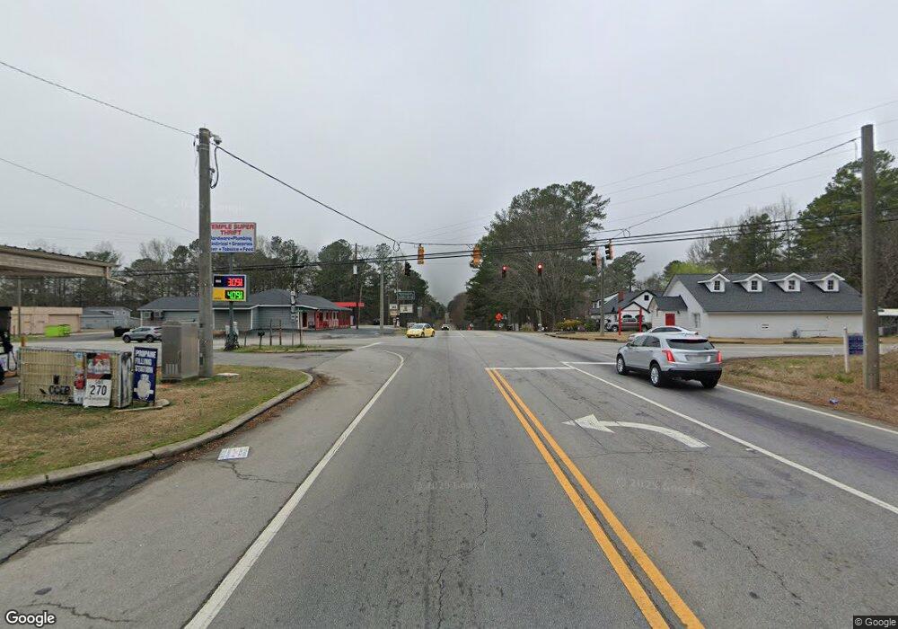
0 Us Highway 78 Unit 10213317 Temple, GA 30179
--
Bed
--
Bath
--
Sq Ft
10.1
Acres
About This Home
This home is located at 0 Us Highway 78 Unit 10213317, Temple, GA 30179. 0 Us Highway 78 Unit 10213317 is a home located in Haralson County with nearby schools including Haralson County High School.
Ownership History
Date
Name
Owned For
Owner Type
Purchase Details
Closed on
Sep 23, 2021
Sold by
Advanta Ira Administration Llc Fbo
Bought by
Saint Velus Wilder and St Ange Claire
Purchase Details
Closed on
May 23, 2014
Sold by
Bank Of The Ozarks
Bought by
Advanta Ira Administration Llc
Purchase Details
Closed on
Aug 12, 2013
Sold by
Weststar Community Church
Bought by
Bank Of The Ozarks
Purchase Details
Closed on
Dec 31, 2007
Sold by
Not Provided
Bought by
Weststar Community Church Inc
Purchase Details
Closed on
Dec 28, 2007
Sold by
Not Provided
Bought by
Weststar Community Church Inc
Create a Home Valuation Report for This Property
The Home Valuation Report is an in-depth analysis detailing your home's value as well as a comparison with similar homes in the area
Home Values in the Area
Average Home Value in this Area
Purchase History
| Date | Buyer | Sale Price | Title Company |
|---|---|---|---|
| Saint Velus Wilder | $108,000 | -- | |
| Advanta Ira Administration Llc | $36,750 | -- | |
| Bank Of The Ozarks | -- | -- | |
| Weststar Community Church Inc | -- | -- | |
| Weststar Community Church Inc | $171,900 | -- |
Source: Public Records
Tax History Compared to Growth
Tax History
| Year | Tax Paid | Tax Assessment Tax Assessment Total Assessment is a certain percentage of the fair market value that is determined by local assessors to be the total taxable value of land and additions on the property. | Land | Improvement |
|---|---|---|---|---|
| 2024 | $565 | $21,804 | $21,804 | $0 |
| 2023 | $486 | $18,124 | $18,124 | $0 |
| 2022 | $486 | $18,124 | $18,124 | $0 |
| 2021 | $425 | $15,197 | $15,197 | $0 |
| 2020 | $426 | $15,197 | $15,197 | $0 |
| 2019 | $443 | $15,197 | $15,197 | $0 |
| 2018 | $513 | $17,361 | $17,361 | $0 |
| 2017 | $565 | $17,361 | $17,361 | $0 |
| 2016 | $1,224 | $39,960 | $39,960 | $0 |
| 2015 | $451 | $39,960 | $39,960 | $0 |
| 2014 | $1,206 | $39,960 | $39,960 | $0 |
Source: Public Records
Map
Nearby Homes
- 0 Us Highway 78 Unit 10533174
- 0 Us Highway 78 Unit 10533179
- 115 Glen Helton Rd
- 0 Pollard Rd Unit 10533145
- 0 Pollard Rd Unit 10533156
- 128 Pollard Rd
- 242 Brookshire Dr
- 90 Defnall Rd
- 395 Pollard Rd
- 400 Sapling Ct
- 501 Grace Ct
- 426 Amy Blvd
- 24 Mcclure Rd
- 550 Harmon Rd
- 71 Old Field Rd
- 9385 U S 78
- 119 Sourwood Ln
- 43 Old Field Rd
- 248 Webster Lake Dr
- 0 Us Highway 78 Unit 10223692
- 0 Us Highway 78 Unit 7288998
- 0 Us Highway 78 Unit 7289028
- 0 Us Highway 78 Unit 7593227
- 0 Us Highway 78 Unit 8419546
- 29 Brookshire Dr
- 0 Brookshire Dr Unit 10 lots 8183411
- 0 Brookshire Dr Unit 30 8256620
- 0 Brookshire Dr Unit 35 8256625
- 0 Brookshire Dr Unit 31 8256621
- 0 Brookshire Dr Unit 14 8256608
- 0 Brookshire Dr Unit 34 8256623
- 0 Brookshire Dr Unit 15 8256611
- 0 Brookshire Dr Unit 21 8256617
- 0 Brookshire Dr Unit 13 8256606
- 0 Brookshire Dr Unit 4 8256590
- 0 Brookshire Dr Unit 5 8256602
- 0 Brookshire Dr Unit 19 8256613
- 0 Brookshire Dr Unit 16 8256612
- 0 Brookshire Dr Unit 8 8256604