0 W 879 Rd Unit 1625473 Cookson, OK 74427
Estimated Value: $22,000 - $107,000
--
Bed
--
Bath
--
Sq Ft
1
Acres
About This Home
This home is located at 0 W 879 Rd Unit 1625473, Cookson, OK 74427 and is currently estimated at $64,500. 0 W 879 Rd Unit 1625473 is a home located in Cherokee County with nearby schools including Tenkiller Public School.
Ownership History
Date
Name
Owned For
Owner Type
Purchase Details
Closed on
Jun 12, 2023
Sold by
Cherokee County
Current Estimated Value
Purchase Details
Closed on
Nov 22, 2019
Sold by
Barker Brad Weldon and Stone Armando Jacques
Bought by
Maciver Donald Neil
Purchase Details
Closed on
May 19, 2017
Sold by
Cantrell James Lanny and Cantrell James L
Bought by
Barker Brad Weldon and Stone Armando Jacques
Purchase Details
Closed on
Mar 29, 1982
Sold by
Mallow Glenna and Mallow Ronald
Bought by
Cantrell James L
Purchase Details
Closed on
Jan 30, 1981
Sold by
Reves Bertha
Bought by
Cantrell James L and Cantrell Mallo
Create a Home Valuation Report for This Property
The Home Valuation Report is an in-depth analysis detailing your home's value as well as a comparison with similar homes in the area
Home Values in the Area
Average Home Value in this Area
Purchase History
| Date | Buyer | Sale Price | Title Company |
|---|---|---|---|
| -- | $355 | None Listed On Document | |
| Maciver Donald Neil | $11,000 | Guaranty Title Company Llc | |
| Barker Brad Weldon | -- | None Available | |
| Cantrell James L | -- | -- | |
| Cantrell James L | -- | -- |
Source: Public Records
Tax History Compared to Growth
Tax History
| Year | Tax Paid | Tax Assessment Tax Assessment Total Assessment is a certain percentage of the fair market value that is determined by local assessors to be the total taxable value of land and additions on the property. | Land | Improvement |
|---|---|---|---|---|
| 2024 | $86 | $1,210 | $1,210 | $0 |
| 2023 | $86 | $1,210 | $1,210 | $0 |
| 2022 | $86 | $1,210 | $1,210 | $0 |
| 2021 | $86 | $1,210 | $1,210 | $0 |
| 2020 | $87 | $1,210 | $1,210 | $0 |
| 2019 | $59 | $825 | $825 | $0 |
| 2018 | $59 | $825 | $825 | $0 |
| 2017 | $27 | $375 | $375 | $0 |
| 2016 | $26 | $357 | $357 | $0 |
| 2015 | $23 | $340 | $340 | $0 |
| 2014 | $23 | $324 | $324 | $0 |
Source: Public Records
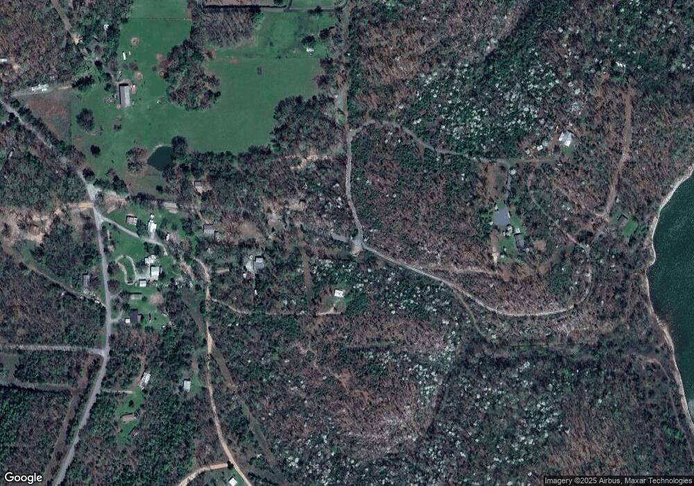
Map
Nearby Homes
- 15 S 550 Rd
- 21595 W 888 Rd
- 30998 S Molly Brown Rd
- 0000 Stones Throw
- 21245 W 888 Rd
- 0 S Hickory Ln Unit 2522684
- 29300 Hwy 82 Unit 119
- 29300 State Highway 82 Unit 92
- 23507 E Riverview Dr
- 13029300 State Highway 82
- 11029300 State Highway 82
- 5029300 State Highway 82
- 6629300 State Highway 82
- 13129300 State Highway 82
- 7929300 State Highway 82
- 7829300 State Highway 82
- 7729300 State Highway 82
- 23524 E 873 Rd
- 20717 W 888 Rd
- 28917 S Ranch Ln
- 0 W 879 Rd Unit 1534477
- 0 W 879 Rd Unit 1534480
- 0 W 879 Rd Unit 1602836
- 0 W 879 Rd Unit 1602831
- 0 W 879 Rd Unit 1625477
- 0 W 879 Rd Unit 1703104
- 0 W 879 Rd Unit 1734338
- 0 W 879 Rd Unit 1817842
- 0 W 879 Rd Unit 1932820
- 22083 W 879 Rd
- 29976 S 552 Rd
- 22105 W 879 Rd
- 29989 S 552 Rd
- 30050 S 552 Rd
- 0 552 Rd Unit 909389
- 0 552 Rd Unit 1820403
- 0 552 Rd Unit 1926310
- 22065 W 877 Rd
- 29982 S 550 Rd
- 22099 W 877 Rd