0 W El Sol Lot 16 & 17 Blvd Unit 16 & 17 6719422 Goodyear, AZ 85338
--
Bed
--
Bath
--
Sq Ft
5.6
Acres
About This Home
This home is located at 0 W El Sol Lot 16 & 17 Blvd Unit 16 & 17 6719422, Goodyear, AZ 85338. 0 W El Sol Lot 16 & 17 Blvd Unit 16 & 17 6719422 is a home located in Maricopa County with nearby schools including Michael Anderson School, Desert Edge High School, and Legacy Traditional School - Goodyear.
Ownership History
Date
Name
Owned For
Owner Type
Purchase Details
Closed on
Oct 6, 2025
Sold by
Dhami Group Llc and Dhillon Group Llc
Bought by
Gbl Investments Llc
Purchase Details
Closed on
Aug 5, 2021
Sold by
Piedras Unlimited Llc
Bought by
D & D Group Llc
Purchase Details
Closed on
Jun 1, 2007
Sold by
Erutan Properties Llc
Bought by
Piedras Unlimited Llc
Home Financials for this Owner
Home Financials are based on the most recent Mortgage that was taken out on this home.
Original Mortgage
$953,000
Interest Rate
6.14%
Mortgage Type
Purchase Money Mortgage
Create a Home Valuation Report for This Property
The Home Valuation Report is an in-depth analysis detailing your home's value as well as a comparison with similar homes in the area
Home Values in the Area
Average Home Value in this Area
Purchase History
| Date | Buyer | Sale Price | Title Company |
|---|---|---|---|
| Gbl Investments Llc | $2,662,715 | Pioneer Title Agency | |
| Dhami Group Llc | -- | Pioneer Title Agency | |
| D & D Group Llc | $982,000 | Chicago Title Agency Inc | |
| Piedras Unlimited Llc | $1,271,515 | Lawyers Title Insurance Corp |
Source: Public Records
Mortgage History
| Date | Status | Borrower | Loan Amount |
|---|---|---|---|
| Previous Owner | Piedras Unlimited Llc | $953,000 |
Source: Public Records
Tax History Compared to Growth
Tax History
| Year | Tax Paid | Tax Assessment Tax Assessment Total Assessment is a certain percentage of the fair market value that is determined by local assessors to be the total taxable value of land and additions on the property. | Land | Improvement |
|---|---|---|---|---|
| 2025 | $3,929 | $33,137 | $33,137 | -- |
| 2024 | $3,624 | $31,559 | $31,559 | -- |
| 2023 | $3,624 | $53,985 | $53,985 | $0 |
| 2022 | $3,468 | $74,865 | $74,865 | $0 |
| 2021 | $3,662 | $74,865 | $74,865 | $0 |
| 2020 | $3,549 | $49,410 | $49,410 | $0 |
| 2019 | $3,467 | $43,725 | $43,725 | $0 |
| 2018 | $3,455 | $23,550 | $23,550 | $0 |
| 2017 | $3,465 | $22,860 | $22,860 | $0 |
| 2016 | $4,167 | $30,960 | $30,960 | $0 |
| 2015 | $4,144 | $26,288 | $26,288 | $0 |
Source: Public Records
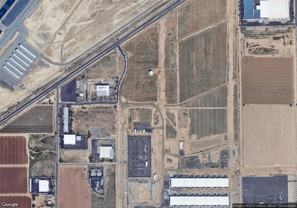
Map
Nearby Homes
- 4310 S Bullard Ave
- 4310 S Bullard Ave
- 4310 S Bullard Ave
- 15802 W Vogel Ave
- 15817 W Vogel Ave
- 15823 W Vogel Ave
- 15820 W Vogel Ave
- 15808 W Vogel Ave
- 15829 W Vogel Ave
- 15805 W Vogel Ave
- 15814 W Vogel Ave
- 15826 W Vogel Ave
- 2acres S Bullard Ave
- 0 Lower Buckeye -- Unit 12
- Sage Plan 4022 at Avion - Horizon
- Ironwood Plan 3518 at Avion - Arbor
- Coronado Plan 3560 at Avion - Premier
- Clark II Plan 4076 at Avion - Horizon
- Bisbee Plan 3565 at Avion - Premier
- Ocotillo Plan 3520 at Avion - Arbor
- 3673 S Bullard Ave Unit 121
- 3673 S Bullard Ave Unit 113
- 3673 S Bullard Ave Unit 105
- 3673 S Bullard Ave
- 3558 S Bullard Ave
- 3500 S La Cometa
- 000xx W El Sol Unit 16 & 17
- 0 W El Sol Unit 16
- 4204 S Bullard Ave
- 18136 W Raven Rd
- 18166 W Raven Rd
- 18184 W Raven Rd
- 18184 W Raven Rd Unit 2458198-59636
- 18166 W Raven Rd Unit 2458197-59636
- 4400 S Bullard Ave
- 14247 W Broadway Rd
- 10790 W M Dr
- 316xx S Bullard Ave
- 0 S Bullard Ave Unit 16 6323726
- 0 S Bullard Ave Unit 14 6343447