0 W Lot 8 Airport Commercenter Center Unit 8 5648447 Goodyear, AZ 85338
Estimated Value: $256,000
--
Bed
--
Bath
--
Sq Ft
0.6
Acres
About This Home
This home is located at 0 W Lot 8 Airport Commercenter Center Unit 8 5648447, Goodyear, AZ 85338 and is currently priced at $256,000. 0 W Lot 8 Airport Commercenter Center Unit 8 5648447 is a home located in Maricopa County with nearby schools including Michael Anderson School, Desert Edge High School, and Estrella High School.
Ownership History
Date
Name
Owned For
Owner Type
Purchase Details
Closed on
Jun 22, 2025
Sold by
Kc Force Llc
Bought by
85 Estrella Llc
Current Estimated Value
Purchase Details
Closed on
Sep 2, 2020
Sold by
Gbu Investment Inc
Bought by
Kc Force Llc
Purchase Details
Closed on
Mar 11, 2020
Sold by
Johnson Douglas S and Johnson Rowena M
Bought by
Gbu Investments Inc
Purchase Details
Closed on
Jul 21, 2005
Sold by
Commercenter 9 Llc
Bought by
Gbu Investments Inc
Create a Home Valuation Report for This Property
The Home Valuation Report is an in-depth analysis detailing your home's value as well as a comparison with similar homes in the area
Home Values in the Area
Average Home Value in this Area
Purchase History
| Date | Buyer | Sale Price | Title Company |
|---|---|---|---|
| 85 Estrella Llc | -- | -- | |
| Kc Force Llc | $190,000 | Empire West Title Agency Llc | |
| Gbu Investments Inc | -- | Stewart Ttl & Tr Of Phoenix | |
| Gbu Investments Inc | -- | Fidelity Natl Ttl Agcy Inc | |
| Gbu Investments Inc | $568,514 | -- |
Source: Public Records
Tax History Compared to Growth
Tax History
| Year | Tax Paid | Tax Assessment Tax Assessment Total Assessment is a certain percentage of the fair market value that is determined by local assessors to be the total taxable value of land and additions on the property. | Land | Improvement |
|---|---|---|---|---|
| 2025 | $1,869 | $16,210 | $16,210 | -- |
| 2024 | $1,721 | $15,438 | $15,438 | -- |
| 2023 | $1,721 | $29,220 | $29,220 | $0 |
| 2022 | $1,644 | $24,330 | $24,330 | $0 |
| 2021 | $1,749 | $24,330 | $24,330 | $0 |
| 2020 | $1,694 | $17,580 | $17,580 | $0 |
| 2019 | $1,654 | $15,555 | $15,555 | $0 |
| 2018 | $1,648 | $11,520 | $11,520 | $0 |
| 2017 | $1,658 | $11,190 | $11,190 | $0 |
| 2016 | $1,768 | $13,110 | $13,110 | $0 |
| 2015 | $1,748 | $11,840 | $11,840 | $0 |
Source: Public Records
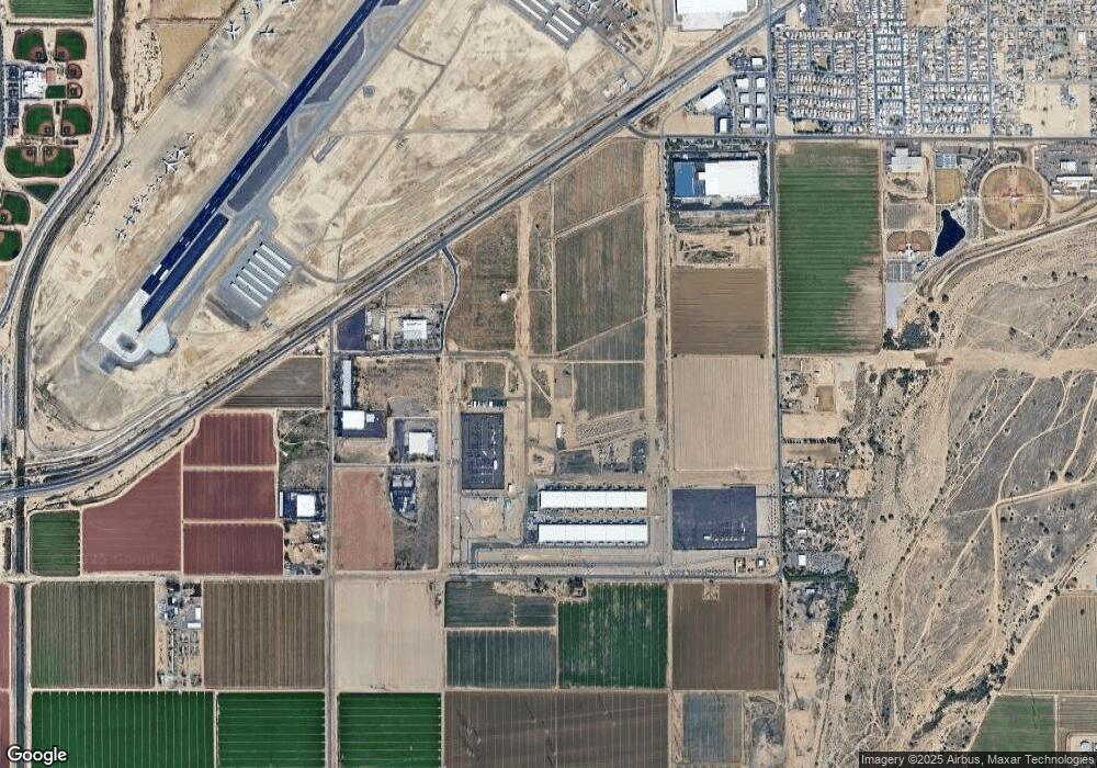
Map
Nearby Homes
- 0 Lower Buckeye -- Unit 12
- 830 S Greenleaf Ln
- 300 W Lower Buckeye Rd Unit 26
- 127 W Main St Unit 6
- 110 W Main St
- 15802 W Vogel Ave
- 15817 W Vogel Ave
- 15823 W Vogel Ave
- 15820 W Vogel Ave
- 15808 W Vogel Ave
- 15829 W Vogel Ave
- 15805 W Vogel Ave
- 15814 W Vogel Ave
- 15826 W Vogel Ave
- 607 S 1st St
- 31 W Aragon Ln
- 629 S 4th St
- 622 E Elm Ln
- 400 E Main St Unit 23
- 448 E Main St Unit 18
- 0 W Lot 8 Airport Commercenter Center Unit 8 5866445
- 0 W Lot 9 Airport Commercenter Center Unit 9 5648469
- 0 W Lot 9 Airport Commercenter Center Unit 9 5866430
- 0 W Lot 6 Airport Commercenter Center Unit 6 6029260
- Lot 5 Airport Commercenter Dr Unit 5
- Lot 4 Airport Commercenter Dr Unit 4
- 13980 W Cielo St Unit 4
- 10790 W M Dr
- 13990 W Lower Buckeye Rd Unit 16
- 0 S Litchfield Rd Unit 1 5841757
- 2801 S Litchfield Rd Unit 18
- 2801 S Litchfield Rd Unit 70
- 2801 S Litchfield Rd Unit 74
- 2801 S Litchfield Rd Unit 31
- 2801 S Litchfield Rd Unit 68
- 2801 S Litchfield Rd Unit 27
- 2801 S Litchfield Rd Unit 19
- 2801 S Litchfield Rd Unit 51
- 2801 S Litchfield Rd Unit 49
- 2801 S Litchfield Rd Unit 39