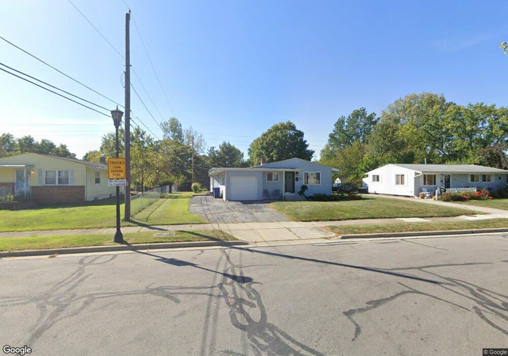
0 W Mariemont Dr N Westerville, OH 43081
Estimated Value: $222,000 - $365,000
--
Bed
--
Bath
--
Sq Ft
6,708
Sq Ft Lot
About This Home
This home is located at 0 W Mariemont Dr N, Westerville, OH 43081 and is currently estimated at $307,937. 0 W Mariemont Dr N is a home with nearby schools including Whittier Elementary School, Blendon Middle School, and Westerville South High School.
Ownership History
Date
Name
Owned For
Owner Type
Purchase Details
Closed on
Jun 20, 2025
Sold by
Thomas Ansley
Bought by
Jordan Spencer and Jordan Margaret
Current Estimated Value
Home Financials for this Owner
Home Financials are based on the most recent Mortgage that was taken out on this home.
Original Mortgage
$160,000
Outstanding Balance
$159,596
Interest Rate
6.89%
Mortgage Type
New Conventional
Estimated Equity
$148,341
Purchase Details
Closed on
May 13, 2022
Sold by
Edwards Family Trust
Bought by
Lola A Edwards Irrevocable Trust
Purchase Details
Closed on
Apr 27, 2022
Sold by
Edwards George H
Bought by
Thomas Ansley
Purchase Details
Closed on
Mar 9, 2005
Sold by
Edwards George H and Edwards Lola A
Bought by
Edwards George H and Edwards Lola A
Purchase Details
Closed on
Sep 1, 1987
Bought by
Edwards George H and Edwards Lola A
Create a Home Valuation Report for This Property
The Home Valuation Report is an in-depth analysis detailing your home's value as well as a comparison with similar homes in the area
Home Values in the Area
Average Home Value in this Area
Purchase History
| Date | Buyer | Sale Price | Title Company |
|---|---|---|---|
| Jordan Spencer | $300,000 | Empora Title | |
| Lola A Edwards Irrevocable Trust | -- | New Title Company Name | |
| Thomas Ansley | $300,000 | New Title Company Name | |
| Edwards George H | -- | -- | |
| Edwards George H | -- | -- |
Source: Public Records
Mortgage History
| Date | Status | Borrower | Loan Amount |
|---|---|---|---|
| Open | Jordan Spencer | $160,000 |
Source: Public Records
Tax History Compared to Growth
Tax History
| Year | Tax Paid | Tax Assessment Tax Assessment Total Assessment is a certain percentage of the fair market value that is determined by local assessors to be the total taxable value of land and additions on the property. | Land | Improvement |
|---|---|---|---|---|
| 2024 | $163 | $2,800 | $2,800 | -- |
| 2023 | $160 | $2,800 | $2,800 | $0 |
| 2022 | $141 | $1,890 | $1,890 | $0 |
| 2021 | $142 | $1,890 | $1,890 | $0 |
| 2020 | $142 | $1,890 | $1,890 | $0 |
| 2019 | $126 | $1,580 | $1,580 | $0 |
| 2018 | $117 | $1,580 | $1,580 | $0 |
| 2017 | $119 | $1,580 | $1,580 | $0 |
| 2016 | $115 | $1,330 | $1,330 | $0 |
| 2015 | $111 | $1,330 | $1,330 | $0 |
| 2014 | $111 | $1,330 | $1,330 | $0 |
| 2013 | $56 | $1,330 | $1,330 | $0 |
Source: Public Records
Map
Nearby Homes
- 502 Foxtrail Cir E Unit 502
- 206 Charring Cross Dr S Unit 2206
- 470 S State St
- 466 S State St
- 476 S State St
- 465 W Schrock Rd
- 79 W Park St
- 559 Allview Ct
- 25 King Arthur Blvd
- 66 Daleview Dr
- 53 W College Ave
- 0 Cooper Rd
- 360 Potawatomi Dr
- 0 Cherrington Rd Unit 225023909
- 199 E College Ave
- 417 E Park St
- 106 E Ticonderoga Dr
- 106 E Ticonderoga Dr Unit A
- 92 N Vine St
- 134 W Ticonderoga Dr Unit D
- 131 Mariemont Dr N
- 137 Mariemont Dr N
- 428 Mariemont Dr W
- 125 Mariemont Dr N
- 245 Foxtrail Place
- 243 Foxtrail Place
- 422 Mariemont Dr W
- 119 Mariemont Dr N
- 143 Mariemont Dr N
- 228 Foxtrail Ct Unit 228
- 113 Mariemont Dr N
- 224 Foxtrail Ct Unit 224
- 255 Foxtrail Place Unit 255
- 460 Foxtrail Cir E
- 230 Foxtrail Ct Unit 230
- 226 Foxtrail Ct
- 466 Foxtrail Cir E Unit 466
- 464 Foxtrail Cir E
- 462 Foxtrail Cir E Unit 462
- 257 Foxtrail Place