0 Wild Deer Trace Unit 7017171 Dahlonega, GA 30533
Estimated Value: $315,000 - $474,858
--
Bed
2
Baths
1,214
Sq Ft
$341/Sq Ft
Est. Value
About This Home
This home is located at 0 Wild Deer Trace Unit 7017171, Dahlonega, GA 30533 and is currently estimated at $414,286, approximately $341 per square foot. 0 Wild Deer Trace Unit 7017171 is a home located in Lumpkin County with nearby schools including Lumpkin County High School.
Ownership History
Date
Name
Owned For
Owner Type
Purchase Details
Closed on
Feb 12, 2014
Sold by
Stein Carl L Philman Jim
Bought by
Pettis Micheal Ray
Current Estimated Value
Purchase Details
Closed on
Mar 13, 2009
Sold by
Colgate Kimberly A Representative
Bought by
Philman Patricia Trustee
Purchase Details
Closed on
Dec 17, 2004
Sold by
Stein Carl
Bought by
Stein Carl
Purchase Details
Closed on
Mar 1, 1979
Bought by
Stein Carl
Create a Home Valuation Report for This Property
The Home Valuation Report is an in-depth analysis detailing your home's value as well as a comparison with similar homes in the area
Home Values in the Area
Average Home Value in this Area
Purchase History
| Date | Buyer | Sale Price | Title Company |
|---|---|---|---|
| Pettis Micheal Ray | $74,000 | -- | |
| Philman Patricia Trustee | -- | -- | |
| Stein Carl | -- | -- | |
| Stein Carl | -- | -- |
Source: Public Records
Tax History Compared to Growth
Tax History
| Year | Tax Paid | Tax Assessment Tax Assessment Total Assessment is a certain percentage of the fair market value that is determined by local assessors to be the total taxable value of land and additions on the property. | Land | Improvement |
|---|---|---|---|---|
| 2024 | $1,387 | $164,487 | $36,965 | $127,522 |
| 2023 | $784 | $156,408 | $36,965 | $119,443 |
| 2022 | $743 | $130,271 | $30,805 | $99,466 |
| 2021 | $2,914 | $115,825 | $30,805 | $85,020 |
| 2020 | $2,913 | $112,439 | $29,519 | $82,920 |
| 2019 | $2,940 | $112,439 | $29,519 | $82,920 |
| 2018 | $2,878 | $103,435 | $29,519 | $73,916 |
| 2017 | $956 | $33,057 | $29,519 | $3,538 |
| 2016 | $989 | $33,057 | $29,519 | $3,538 |
| 2015 | $778 | $29,519 | $29,519 | $0 |
| 2014 | $778 | $29,519 | $29,519 | $0 |
| 2013 | -- | $29,518 | $29,518 | $0 |
Source: Public Records
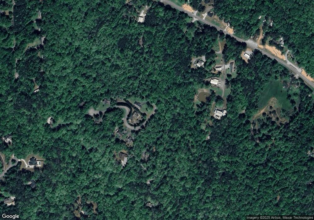
Map
Nearby Homes
- 192 Wild Deer Trace
- 99 Glen Oaks Dr
- 7-/+ Charlie Lemley Rd
- 0 Charlie Lemley Rd Unit 23726251
- 0 Charlie Lemley Rd Unit 10534500
- 0 Charlie Lemley Rd Unit 7589685
- 291 Kerns Ridge Ct
- 1 Grey Swan Way
- 70 Deerwood Cir
- 323 Grey Swan Way
- 335 Grey Swan Way
- 1109 Blackburn Rd
- 109 Odgers Trail
- 54 Odgers Trail
- TRACT1 Panorama Dr
- 499 Pine Trail
- 338 Woody Tucker Rd
- 67 Woody Tucker Rd
- 307 Eagle Overlook Dr
- 0 Wild Deer Trace Unit 7188803
- 400 Deer Ln
- 163 Wild Deer Trace
- 0 Wild Deer Trace Unit 20032928
- 0 Wild Deer Trace Unit 7028856
- 0 Wild Deer Trace Unit 9030145
- 0 Wild Deer Trace Unit 9041978
- 0 Wild Deer Trace Unit 8945775
- 0 Wild Deer Trace Unit 7177691
- 0 Wild Deer Trace Unit 7217466
- 216 Wild Deer Trace
- 69 Wild Deer Trace
- 59 Wild Deer Trace
- 558 Deans Dr
- 39 Wild Deer Trace
- 146 Wild Deer Trace
- 94 Wild Deer Trace
- 0 Deer Ln Unit 7222457
- 0 Deer Ln
- 616 Deans Dr Unit 14