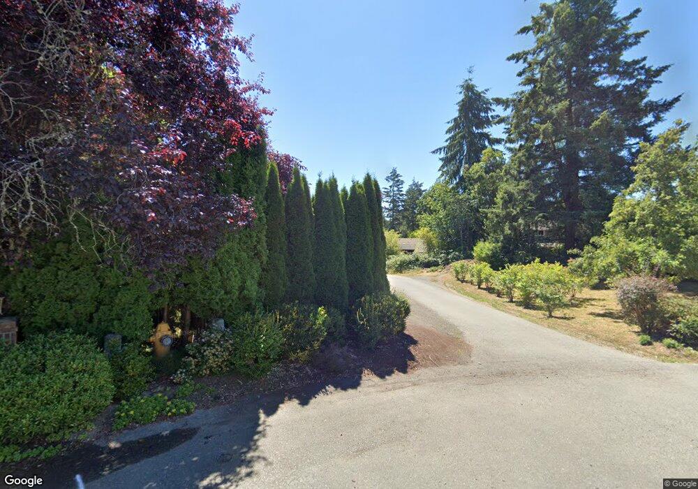
0 X Lot C Ne Amhurst Ct Poulsbo, WA 98370
--
Bed
--
Bath
--
Sq Ft
1.51
Acres
About This Home
This home is located at 0 X Lot C Ne Amhurst Ct, Poulsbo, WA 98370. 0 X Lot C Ne Amhurst Ct is a home located in Kitsap County with nearby schools including Hilder Pearson Elementary School, Poulsbo Middle School, and North Kitsap High School.
Ownership History
Date
Name
Owned For
Owner Type
Purchase Details
Closed on
Jul 29, 2024
Sold by
Nuckols Brent and Nuckols Holly
Bought by
Icon Consulting & Construction Inc
Purchase Details
Closed on
Sep 27, 2022
Sold by
Willcox Clark D
Bought by
Nuckols Brent and Nuckols Holly
Home Financials for this Owner
Home Financials are based on the most recent Mortgage that was taken out on this home.
Original Mortgage
$80,000
Interest Rate
3.05%
Mortgage Type
New Conventional
Purchase Details
Closed on
Dec 30, 1996
Sold by
Grade Eugene E and Grade Patricia A
Bought by
Willcox Clark D and Willcox Nancy G
Create a Home Valuation Report for This Property
The Home Valuation Report is an in-depth analysis detailing your home's value as well as a comparison with similar homes in the area
Home Values in the Area
Average Home Value in this Area
Purchase History
| Date | Buyer | Sale Price | Title Company |
|---|---|---|---|
| Icon Consulting & Construction Inc | $110,000 | Land Title | |
| Nuckols Brent | -- | Land Title | |
| Willcox Clark D | -- | -- |
Source: Public Records
Mortgage History
| Date | Status | Borrower | Loan Amount |
|---|---|---|---|
| Previous Owner | Nuckols Brent | $80,000 |
Source: Public Records
Tax History Compared to Growth
Tax History
| Year | Tax Paid | Tax Assessment Tax Assessment Total Assessment is a certain percentage of the fair market value that is determined by local assessors to be the total taxable value of land and additions on the property. | Land | Improvement |
|---|---|---|---|---|
| 2026 | $912 | $101,210 | $101,210 | -- |
| 2025 | $912 | $101,210 | $101,210 | -- |
| 2024 | $888 | $102,220 | $102,220 | -- |
| 2023 | $881 | $102,220 | $102,220 | $0 |
| 2022 | $818 | $85,190 | $85,190 | $0 |
| 2021 | $777 | $76,330 | $76,330 | $0 |
| 2020 | $732 | $72,920 | $72,920 | $0 |
| 2019 | $708 | $68,150 | $68,150 | $0 |
| 2018 | $628 | $56,790 | $56,790 | $0 |
| 2017 | $661 | $56,790 | $56,790 | $0 |
| 2016 | $723 | $56,790 | $56,790 | $0 |
| 2015 | $691 | $56,790 | $56,790 | $0 |
| 2014 | -- | $56,790 | $56,790 | $0 |
| 2013 | -- | $56,790 | $56,790 | $0 |
Source: Public Records
Map
Nearby Homes
- 2331 NE Toscana Way
- 2331 Lot C+D NE Toscana Way
- 0 S Keyport Rd NE
- 0 xxxx Brownsville Hwy NE
- 0 NE Solar View Ct
- 1810 NE Duck Pond Way
- 0 Brownsville Hwy NE Unit NWM2408193
- 13977 Blackberry Ln NE
- 2393 NE Trail Way
- 10825 Brownsville Hwy NE
- 1354 Hoffs Dr
- 1422 NW Swenson Ct
- 1533 NE Tagholm Rd
- 10211 Ogle Rd NE
- 135 Walker Rd NW
- 2051 NE Marina Vista Ct
- 1922 NE Fir St
- 9809 Shepler Rd NE
- 129 Xx Stiller Blvd NW
- 15485 NE Peterson Rd
- 2037 NE Amhurst Ct
- 12048 NE Lone Tree Ct
- 2411 Toscana Way NE
- 2310 Toscana Way NE
- 2300 Salty Shore Way
- 2049 NE Amhurst Ct
- 12042 NE Lone Tree Ct
- 2024 NE Amhurst Ct
- 2018 NE Amhurst Ct
- 2330 Salty Shore Way
- 12054 NE Lone Tree Ct
- 2025 NE Amhurst Ct
- 12036 NE Lone Tree Ct
- 12060 NE Lone Tree Ct
- 0 Lot C NE Amhurst Ct
- 2012 NE Amhurst Ct
- 12630 S Keyport Rd NE
- 2155 NE Edwin Ct
- 12066 NE Lone Tree Ct
- 12030 NE Lone Tree Ct