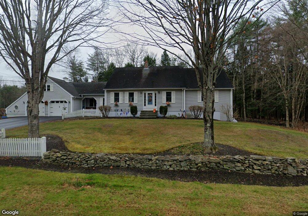
00 Easter Ave Windham, ME 04062
Estimated Value: $182,000 - $440,000
4
Beds
2
Baths
2,524
Sq Ft
$123/Sq Ft
Est. Value
About This Home
This home is located at 00 Easter Ave, Windham, ME 04062 and is currently estimated at $311,000, approximately $123 per square foot. 00 Easter Ave is a home located in Cumberland County with nearby schools including Manchester School, Windham Primary School, and Windham Middle School.
Ownership History
Date
Name
Owned For
Owner Type
Purchase Details
Closed on
Dec 21, 2016
Sold by
Shaughnessy Michael J and Otteson Malory T
Bought by
Koontz Eileen and Shaughnessy Avery
Current Estimated Value
Home Financials for this Owner
Home Financials are based on the most recent Mortgage that was taken out on this home.
Original Mortgage
$56,000
Outstanding Balance
$44,811
Interest Rate
3.57%
Mortgage Type
Purchase Money Mortgage
Estimated Equity
$266,189
Purchase Details
Closed on
Jun 29, 2011
Sold by
Shaughnessy Michael J and Mechanic Savings Bank
Bought by
Mechanic Savings Bank
Create a Home Valuation Report for This Property
The Home Valuation Report is an in-depth analysis detailing your home's value as well as a comparison with similar homes in the area
Home Values in the Area
Average Home Value in this Area
Purchase History
| Date | Buyer | Sale Price | Title Company |
|---|---|---|---|
| Koontz Eileen | -- | -- | |
| Mechanic Savings Bank | -- | -- |
Source: Public Records
Mortgage History
| Date | Status | Borrower | Loan Amount |
|---|---|---|---|
| Open | Koontz Eileen | $56,000 |
Source: Public Records
Tax History
| Year | Tax Paid | Tax Assessment Tax Assessment Total Assessment is a certain percentage of the fair market value that is determined by local assessors to be the total taxable value of land and additions on the property. | Land | Improvement |
|---|---|---|---|---|
| 2025 | $2,042 | $169,300 | $169,300 | $0 |
| 2024 | $1,942 | $169,300 | $169,300 | $0 |
| 2023 | $1,763 | $157,400 | $157,400 | $0 |
| 2022 | $1,486 | $128,000 | $128,000 | $0 |
| 2021 | $1,405 | $111,500 | $111,500 | $0 |
| 2020 | $1,421 | $94,700 | $94,700 | $0 |
| 2019 | $3,660 | $94,700 | $94,700 | $0 |
| 2018 | $1,295 | $85,300 | $85,300 | $0 |
| 2017 | $1,252 | $76,200 | $76,200 | $0 |
| 2016 | $3,292 | $76,200 | $76,200 | $0 |
| 2015 | $1,154 | $76,200 | $76,200 | $0 |
| 2014 | $1,118 | $76,200 | $76,200 | $0 |
| 2013 | -- | $76,200 | $76,200 | $0 |
Source: Public Records
Map
Nearby Homes
- 32 Middle Jam Rd
- 5 Cardinal Ln
- 404 Pope Rd
- 55 Page Rd
- 0 Turning Leaf Dr Unit 1640377
- 215 N Gorham Rd
- 81 Hall Rd
- 34 Robin Ln
- 32 Patriot Place
- 2 Aerie Dr
- 103 Basin Rd
- 34 Stoneridge Dr
- 10 Abby Rd
- Lot #1 Chamberlain Dr
- 5 Sandbar Rd
- 1 Matinicus Way Unit 1
- 14 Emerson Dr
- 14 Sabbady Point Rd
- 6 Gilman Rd
- 21 Shyannes Way
Your Personal Tour Guide
Ask me questions while you tour the home.