Estimated Value: $799,000 - $814,782
--
Bed
--
Bath
4,064
Sq Ft
$199/Sq Ft
Est. Value
About This Home
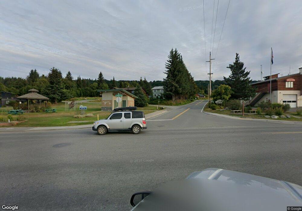
This home is located at 000 Joan Ave, Homer, AK 99603 and is currently estimated at $806,891, approximately $198 per square foot. 000 Joan Ave is a home located in Kenai Peninsula Borough with nearby schools including McNeil Canyon Elementary School, Homer Middle School, and Homer High School.
Ownership History
Date
Name
Owned For
Owner Type
Purchase Details
Closed on
May 18, 2021
Sold by
Sayer Paul and Sayer Francine
Bought by
Roth Paul and Roth Sherri
Current Estimated Value
Home Financials for this Owner
Home Financials are based on the most recent Mortgage that was taken out on this home.
Original Mortgage
$100,000
Outstanding Balance
$90,625
Interest Rate
3.1%
Mortgage Type
Seller Take Back
Estimated Equity
$716,266
Purchase Details
Closed on
Jan 27, 2006
Sold by
Deitz Carol E
Bought by
Sayer Paul and Sayer Francine
Home Financials for this Owner
Home Financials are based on the most recent Mortgage that was taken out on this home.
Original Mortgage
$70,400
Interest Rate
6.25%
Mortgage Type
Seller Take Back
Purchase Details
Closed on
Jan 12, 2006
Sold by
Porter Morris Lee
Bought by
Rediske Walter W and Rediske Lyla A
Home Financials for this Owner
Home Financials are based on the most recent Mortgage that was taken out on this home.
Original Mortgage
$70,400
Interest Rate
6.25%
Mortgage Type
Seller Take Back
Create a Home Valuation Report for This Property
The Home Valuation Report is an in-depth analysis detailing your home's value as well as a comparison with similar homes in the area
Home Values in the Area
Average Home Value in this Area
Purchase History
| Date | Buyer | Sale Price | Title Company |
|---|---|---|---|
| Roth Paul | -- | None Listed On Document | |
| Sayer Paul | -- | First American Title Ins Co | |
| Rediske Walter W | -- | First American Title Ins Co |
Source: Public Records
Mortgage History
| Date | Status | Borrower | Loan Amount |
|---|---|---|---|
| Open | Roth Paul | $100,000 | |
| Previous Owner | Rediske Walter W | $70,400 |
Source: Public Records
Tax History Compared to Growth
Tax History
| Year | Tax Paid | Tax Assessment Tax Assessment Total Assessment is a certain percentage of the fair market value that is determined by local assessors to be the total taxable value of land and additions on the property. | Land | Improvement |
|---|---|---|---|---|
| 2025 | $6,568 | $797,400 | $188,500 | $608,900 |
| 2024 | $6,568 | $657,000 | $148,100 | $508,900 |
| 2023 | $2,396 | $208,700 | $208,700 | $0 |
| 2022 | $2,345 | $198,700 | $198,700 | $0 |
| 2021 | $1,620 | $172,800 | $172,800 | $0 |
| 2020 | $1,563 | $142,900 | $142,900 | $0 |
| 2019 | $1,620 | $147,300 | $147,300 | $0 |
| 2018 | $1,620 | $147,300 | $147,300 | $0 |
| 2017 | $1,356 | $125,600 | $125,600 | $0 |
| 2016 | $916 | $84,800 | $84,800 | $0 |
| 2015 | $1,516 | $84,800 | $84,800 | $0 |
| 2014 | $1,516 | $84,800 | $84,800 | $0 |
Source: Public Records
Map
Nearby Homes
- 41110 Wandering St
- 40755 Morning Star Rd
- 41376 Crested Crane St
- 59217 E End Rd
- 41252 Alan Dr
- 41345 Alan St
- 60918 Skyline Dr
- 58820 E End Rd
- 5260 Kachemak Dr
- 2960 Golden Plover Ave
- 62479 Skyline Dr
- 58150 Glacier View Rd
- 60871 Bear Creek Dr
- L16 Nka Crossman Ridge Ave
- L9 Nka Crossman Ridge Ave
- L8 Nka Crossman Ridge Ave
- L12 Nka Crossman Ridge Ave
- L7 Nka Crossman Ridge Ave
- L6 Nka Crossman Ridge Ave
- L14 Nka Crossman Ridge Ave
- 59210 Newman Ct
- 59105 Newman Rd
- 59110 Newman Ct
- 59209 Newman Ct
- 59155 Newman Ct
- 59200 Beaver Rd
- 41195 Turkington Cir
- 59155 Beaver Rd
- L7B Meadow Ln
- Tr D Meadow Ln
- 000 Meadow Ln
- 40773 McLay Rd
- 40775 McLay Rd
- L3 B1 Moose Horn Rd
- L1 B1 Moosehorn Rd
- L1 B1 Moosehorn Rd
- 40791 McLay Rd
- L5 TrD Meadow Ln
- 59115 Meadow Ln
- 40811 McLay Rd
