Estimated Value: $986,000 - $1,266,000
4
Beds
3
Baths
2,653
Sq Ft
$434/Sq Ft
Est. Value
About This Home
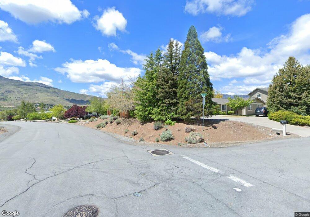
This home is located at 000 Mule Deer Ct Par 1-D-3 Unit 7 (1D3), Reno, NV 89523 and is currently estimated at $1,150,181, approximately $433 per square foot. 000 Mule Deer Ct Par 1-D-3 Unit 7 (1D3) is a home located in Washoe County with nearby schools including Verdi Elementary School, B D Billinghurst Middle School, and Robert McQueen High School.
Ownership History
Date
Name
Owned For
Owner Type
Purchase Details
Closed on
May 26, 2021
Sold by
Borden Ryan and Borden Heather
Bought by
Borden Ryan W and Borden Heather R
Current Estimated Value
Purchase Details
Closed on
Oct 23, 2018
Sold by
Broyles Sam and Wisnoski Catherine
Bought by
Borden Ryan and Borden Heather
Purchase Details
Closed on
May 29, 2001
Sold by
Chadwick Harold M and Chadwick Helen M
Bought by
Broyles Sam and Wisnoski Catherine
Home Financials for this Owner
Home Financials are based on the most recent Mortgage that was taken out on this home.
Original Mortgage
$102,000
Interest Rate
7.15%
Mortgage Type
Seller Take Back
Create a Home Valuation Report for This Property
The Home Valuation Report is an in-depth analysis detailing your home's value as well as a comparison with similar homes in the area
Home Values in the Area
Average Home Value in this Area
Purchase History
| Date | Buyer | Sale Price | Title Company |
|---|---|---|---|
| Borden Ryan W | -- | None Available | |
| Borden Ryan | $235,000 | First Centenial Reno | |
| Broyles Sam | $120,000 | Western Title Inc |
Source: Public Records
Mortgage History
| Date | Status | Borrower | Loan Amount |
|---|---|---|---|
| Previous Owner | Broyles Sam | $102,000 |
Source: Public Records
Tax History Compared to Growth
Tax History
| Year | Tax Paid | Tax Assessment Tax Assessment Total Assessment is a certain percentage of the fair market value that is determined by local assessors to be the total taxable value of land and additions on the property. | Land | Improvement |
|---|---|---|---|---|
| 2026 | $6,720 | $274,322 | $64,505 | $209,817 |
| 2025 | $6,252 | $276,521 | $64,505 | $212,016 |
| 2024 | $6,252 | $258,645 | $61,513 | $197,132 |
| 2023 | $5,334 | $244,342 | $58,520 | $185,822 |
| 2022 | $6,591 | $207,251 | $53,200 | $154,051 |
| 2021 | $6,103 | $203,711 | $51,538 | $152,173 |
| 2020 | $5,738 | $201,464 | $49,875 | $151,589 |
| 2019 | $785 | $39,900 | $39,900 | $0 |
| 2018 | $749 | $28,263 | $28,263 | $0 |
| 2017 | $719 | $24,938 | $24,938 | $0 |
| 2016 | $701 | $24,938 | $24,938 | $0 |
| 2015 | $699 | $22,610 | $22,610 | $0 |
| 2014 | $678 | $21,613 | $21,613 | $0 |
| 2013 | -- | $20,300 | $20,300 | $0 |
Source: Public Records
Map
Nearby Homes
- 540 Gooseberry Dr
- 10245 Ferret Cir
- 270 Mogul Mountain Dr
- 20 Eagle Claw Ct
- 80 Bobcat Dr
- 9165 Kenton Trail
- 35 Mogul Mountain Cir
- 1170 Cliff Park Way
- 0 Mountain Daisy Rd
- 0 Mountain Haven Ln
- 1590 Scott Valley Rd
- 1220 Cliff Park Way
- 1800 Laurel Ridge Dr
- 1240 Cliff Park Way
- 1640 Scott Valley Rd
- 9225 Sassafras Trail
- 861 Larrimore Trail
- 1591 Elk Run Trail
- 1725 Verdi Vista Ct
- 8770 Lost Creek Ct
- 0 Mule Deer Ct
- 63 Mule Deer Ct
- 30 Mule Deer Ct
- 30 Mule Deer Ct
- 000 Mule Deer Ct
- 685 Cliff View Dr
- 70 Mule Deer Ct
- 675 Cliff View Dr
- 695 Cliff View Dr
- 665 Cliff View Dr
- 53 Mule Deer Ct
- 655 Cliff View Dr
- 680 Cliff View Dr
- 270 Moonshine Cir
- 10415 Nighthawk Cir
- 645 Cliff View Dr
- 120 Mule Deer Dr
- 250 Moonshine Cir
- 10395 Nighthawk Cir
- 43 Mule Deer Ct