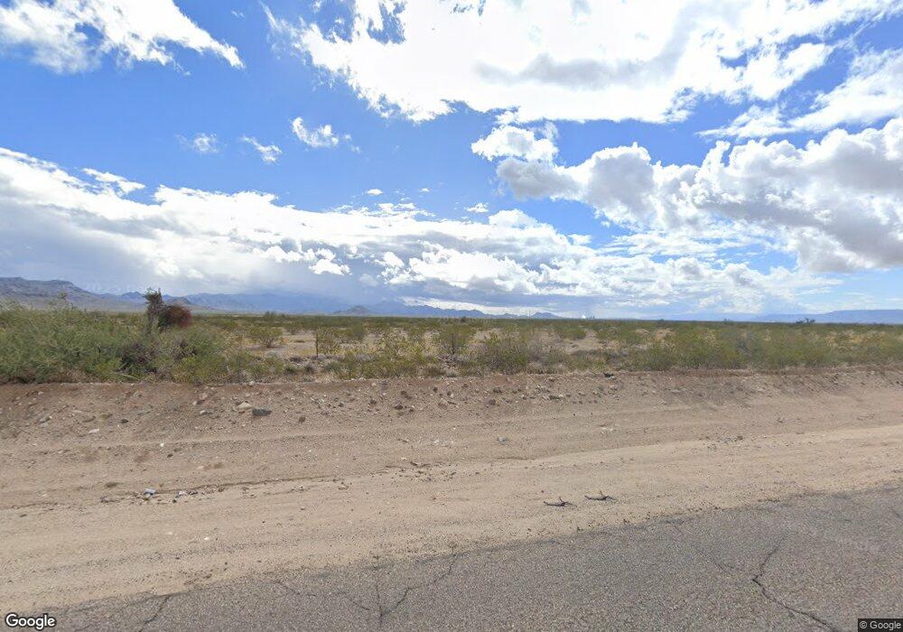
000 Oatman Hwy Hwy Golden Valley, AZ 86413
Estimated Value: $15,000 - $284,000
--
Bed
--
Bath
1,131
Sq Ft
$129/Sq Ft
Est. Value
About This Home
This home is located at 000 Oatman Hwy Hwy, Golden Valley, AZ 86413 and is currently estimated at $145,687, approximately $128 per square foot. 000 Oatman Hwy Hwy is a home located in Mohave County with nearby schools including Lee Williams High School.
Ownership History
Date
Name
Owned For
Owner Type
Purchase Details
Closed on
May 19, 2023
Sold by
Osborne Teddy M
Bought by
Oatman Highway Llc
Current Estimated Value
Purchase Details
Closed on
Jun 7, 2018
Sold by
Osborne Ted and Osborne Llominda
Bought by
Samal Llc
Purchase Details
Closed on
Nov 15, 2006
Sold by
Osborne Ted and Osborne Ilominda A
Bought by
Samal Llc
Purchase Details
Closed on
Aug 26, 1999
Sold by
Eldean Fred R and Eldean Pamela B
Bought by
Osborne Ted and Osborne Ilominda A
Home Financials for this Owner
Home Financials are based on the most recent Mortgage that was taken out on this home.
Original Mortgage
$46,620
Interest Rate
7.66%
Mortgage Type
Seller Take Back
Create a Home Valuation Report for This Property
The Home Valuation Report is an in-depth analysis detailing your home's value as well as a comparison with similar homes in the area
Home Values in the Area
Average Home Value in this Area
Purchase History
| Date | Buyer | Sale Price | Title Company |
|---|---|---|---|
| Oatman Highway Llc | $100,000 | Chicago Title | |
| Osborne Teddy M | -- | Chicago Title | |
| Samal Llc | -- | None Available | |
| Samal Llc | -- | None Available | |
| Osborne Ted | $51,800 | Transnation Title Ins Co |
Source: Public Records
Mortgage History
| Date | Status | Borrower | Loan Amount |
|---|---|---|---|
| Previous Owner | Osborne Ted | $46,620 |
Source: Public Records
Tax History Compared to Growth
Tax History
| Year | Tax Paid | Tax Assessment Tax Assessment Total Assessment is a certain percentage of the fair market value that is determined by local assessors to be the total taxable value of land and additions on the property. | Land | Improvement |
|---|---|---|---|---|
| 2026 | -- | -- | -- | -- |
| 2025 | $1,145 | $8,606 | $0 | $0 |
| 2024 | $1,145 | $5,960 | $0 | $0 |
| 2023 | $1,145 | $9,053 | $0 | $0 |
| 2022 | $1,332 | $15,173 | $0 | $0 |
| 2021 | $1,336 | $22,363 | $0 | $0 |
| 2019 | $1,218 | $10,703 | $0 | $0 |
| 2018 | $1,234 | $8,919 | $0 | $0 |
| 2017 | $1,201 | $8,919 | $0 | $0 |
| 2016 | $1,178 | $8,660 | $0 | $0 |
| 2015 | $2,550 | $17,770 | $0 | $0 |
Source: Public Records
Map
Nearby Homes
- 0000 S Ponderosa Rd
- Manzanita Rd Oatman Hwy
- Lot 289 & 290 Toluca Dr
- 5042 Bali Hi Dr
- . Vaquero Dr
- 4930 Vaquero Dr
- 000 S Diamond St
- 0000 Diamond St
- Lot 1241 Copper St
- 640 Acres Oatman Rd
- 000 W Bali Hi Dr
- 4834 W Sinola Dr
- 000XX Indian Wells Trail Unit 811
- 8.5 Acres Sacramento Mayan Zentiff Rd
- 00 Oatman Hwy
- 4233 Mayan Dr
- 640 W Acres Oatman Hwy
- 0000 Zora Dr
- 0 Zora Dr
- 4740 W Quartzite Dr
- 5096 W Bali Hi Dr
- 00 W Dawson Dr
- 0 W Dawson Dr Unit 791281
- 0 W Dawson Dr Unit 359387
- 5091 W Dawson Dr
- 0 W Dawson Dr Unit 789682
- Lot 1302 E2 W Dawson Dr
- 0 W Dawson Dr Unit 360022
- 0 W Dawson Dr Unit 359267
- 0 W Dawson Dr Unit 791290
- 0 W Dawson Dr Unit 791286
- Lot 1876 W Dawson Dr
- 0 W Dawson Dr Unit 791291
- 0 W Dawson Dr Unit 359351
- TBD W Dawson Dr
- - W Dawson Dr
- 0 W Dawson Dr
- 4840 W Dawson Dr
- 5286 W Dawson Dr
- 5286 W Dawson Dr
