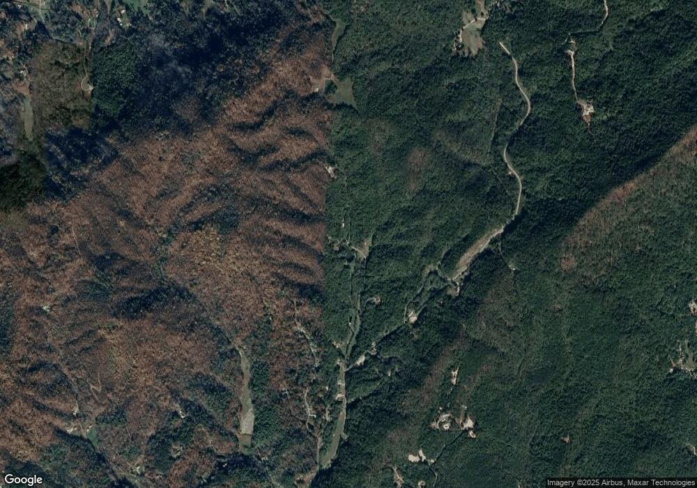
000 Winter Hawk Lenoir, NC 28645
Estimated Value: $941,000
--
Bed
--
Bath
--
Sq Ft
45.11
Acres
About This Home
This home is located at 000 Winter Hawk, Lenoir, NC 28645 and is currently priced at $941,000. 000 Winter Hawk is a home located in Caldwell County with nearby schools including Valmead Elementary School and Hibriten High School.
Ownership History
Date
Name
Owned For
Owner Type
Purchase Details
Closed on
Sep 16, 2022
Sold by
Copperleaf Forestry Llc
Bought by
Winterhawk Curators Llc
Current Estimated Value
Purchase Details
Closed on
Jun 11, 2019
Sold by
Mcguire Osborne R and Macguire Mary R
Bought by
Teague Christopher L and Teague Tammy L
Purchase Details
Closed on
Feb 21, 2019
Sold by
Copperleaf Builders Llc
Bought by
Copperleaf Forsty Llc
Purchase Details
Closed on
May 22, 2000
Bought by
Kanode Irvin W and Kanode Shirley A
Purchase Details
Closed on
Sep 1, 1995
Purchase Details
Closed on
Mar 1, 1994
Create a Home Valuation Report for This Property
The Home Valuation Report is an in-depth analysis detailing your home's value as well as a comparison with similar homes in the area
Home Values in the Area
Average Home Value in this Area
Purchase History
| Date | Buyer | Sale Price | Title Company |
|---|---|---|---|
| Winterhawk Curators Llc | -- | -- | |
| Winterhawk Curators Llc | -- | None Listed On Document | |
| Copperleaf Forestry Llc | -- | -- | |
| Copperleaf Forestry Llc | -- | None Listed On Document | |
| Teague Christopher L | $773,500 | -- | |
| Copperleaf Forsty Llc | -- | -- | |
| Kanode Irvin W | $90,000 | -- | |
| -- | $45,100 | -- | |
| -- | $51,000 | -- |
Source: Public Records
Tax History Compared to Growth
Tax History
| Year | Tax Paid | Tax Assessment Tax Assessment Total Assessment is a certain percentage of the fair market value that is determined by local assessors to be the total taxable value of land and additions on the property. | Land | Improvement |
|---|---|---|---|---|
| 2025 | $62 | $8,800 | $0 | $0 |
| 2024 | $62 | $7,900 | $0 | $0 |
| 2023 | $59 | $7,900 | $7,900 | $0 |
| 2022 | $75 | $10,200 | $0 | $0 |
| 2021 | $75 | $10,200 | $0 | $0 |
| 2020 | $77 | $10,200 | $0 | $0 |
| 2019 | $64 | $10,200 | $0 | $0 |
| 2018 | $77 | $10,200 | $0 | $0 |
| 2017 | $77 | $10,200 | $0 | $0 |
| 2016 | $928 | $125,600 | $0 | $0 |
| 2015 | $910 | $128,500 | $0 | $0 |
| 2014 | $910 | $128,500 | $0 | $0 |
Source: Public Records
Map
Nearby Homes
- 00 Winter Hawk Ln
- 1335 Prince William Dr NE Unit 10
- 000 None Rd
- VL Indian Grave Rd
- 0000 Laurel Ln Unit 7
- 2531 Indian Grave Rd
- 2714 Indian Trail
- 3575 Chetola Dr
- 3957 Hollywood Ridge Rd
- 2320 Howard Arnette Rd
- 2238 Flatwood Rd
- 2340 Twin Poplars Ln
- 2091 Blowing Rock Blvd
- 2143 Wendwood Dr
- 00 Whisnant Rd Unit LotWP007
- 00 Whisnant Rd Unit 7
- 2967-2941 Roby Martin Rd
- 000 Whisnant Rd
- TBD Zacks Fork Rd
- 3865 Austin Valley Dr
- TBD Taylorsville Rd
- 00 Moody Rd Unit Tract D
- 1 Austin Valley Dr Unit 1
- Off Winter Hawk Ln
- 3105 Winter Hawk Ln
- 3100 Winter Hawk Ln
- 2700 Bill Tuttle Rd
- 1589 Indian Hills Dr
- 00 Laurel Ln
- 3075 Winter Hawk Ln
- 3655 Hollywood Ridge Rd
- 1582 Indian Hills Dr
- 3675 Hollywood Ridge Rd
- 3065 Winter Hawk Ln
- 1575 Indian Hills Dr
- 1579 Indian Hills Dr
- 3062 Winter Hawk Ln
- 3671 Hollywood Ridge Rd
- 3685 Hollywood Ridge Rd
- 3685 Hollywood Ridge Rd
