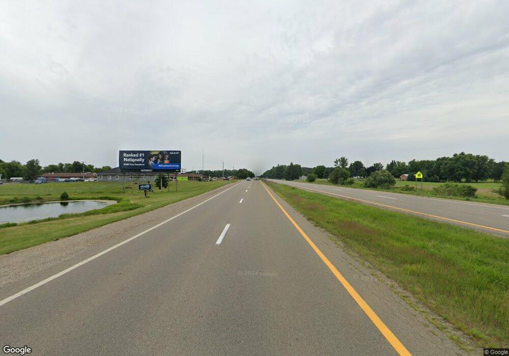
0000 S U S 27 St. Johns, MI 48879
--
Bed
--
Bath
48,916
Sq Ft
1.3
Acres
About This Home
This home is located at 0000 S U S 27, St. Johns, MI 48879. 0000 S U S 27 is a home located in Clinton County with nearby schools including St. Johns High School and St Joseph Catholic School.
Ownership History
Date
Name
Owned For
Owner Type
Purchase Details
Closed on
Mar 26, 2018
Sold by
Protective Life Insurance Company
Bought by
Blue Light Development Llc
Purchase Details
Closed on
Nov 30, 2015
Sold by
St John Development Llc
Bought by
Protective Life Insurance Company
Purchase Details
Closed on
Oct 28, 2015
Sold by
St John Llc
Bought by
Protective Life Insurance Company
Create a Home Valuation Report for This Property
The Home Valuation Report is an in-depth analysis detailing your home's value as well as a comparison with similar homes in the area
Home Values in the Area
Average Home Value in this Area
Purchase History
| Date | Buyer | Sale Price | Title Company |
|---|---|---|---|
| Blue Light Development Llc | -- | Transnation Title Agency | |
| Protective Life Insurance Company | -- | Attorney | |
| Protective Life Insurance Company | $800,000 | Attorney |
Source: Public Records
Tax History Compared to Growth
Tax History
| Year | Tax Paid | Tax Assessment Tax Assessment Total Assessment is a certain percentage of the fair market value that is determined by local assessors to be the total taxable value of land and additions on the property. | Land | Improvement |
|---|---|---|---|---|
| 2025 | -- | $744,300 | $84,800 | $659,500 |
| 2024 | $2,433 | $690,000 | $84,800 | $605,200 |
| 2023 | $2,304 | $721,200 | $0 | $0 |
| 2022 | $8,564 | $585,800 | $195,400 | $390,400 |
| 2021 | $8,374 | $564,500 | $195,400 | $369,100 |
| 2020 | $8,060 | $517,100 | $157,100 | $360,000 |
| 2019 | $7,747 | $173,700 | $141,500 | $32,200 |
| 2018 | $6,374 | $200,300 | $168,700 | $31,600 |
| 2017 | -- | $140,000 | $108,800 | $31,200 |
| 2016 | -- | $685,200 | $587,700 | $97,500 |
| 2015 | -- | $509,600 | $0 | $0 |
| 2011 | -- | $1,198,200 | $0 | $0 |
Source: Public Records
Map
Nearby Homes
- 700 E Townsend Rd
- 1275 Fieldstone Dr
- 1107 Sunview Dr
- 1260 Astwood Mews Ln
- 1350 Wildcat Rd
- 1300 Superior Dr Unit 1
- 1396 Superior Dr Unit 28
- 1398 Superior Dr Unit 27
- 1480 Superior Dr Unit 24
- 1105 S Wight St
- 106 W Oak St
- 1519 S Lansing St
- 502 E Mcconnell St
- 3180 S Bus 127
- 903 E State St
- 501 S Clinton Ave
- 511 S Church St
- 1455 W Hyde Rd
- 204 N Whittemore St
- 706 E Railroad St
- 000 E Townsend Rd
- 0 E Townsend Rd
- 0000 E Townsend Rd
- 2311 S Us Highway 27
- 2311 S Us 27 St Unit 1
- 1917 S Scott Rd
- 1156 E Townsend Rd
- 2317 S Us27 St
- 2317 S Us 27 St
- 1939 S Scott Rd
- 1184 E Townsend Rd
- 2321 S Us Highway 27
- 2321 Old U S 27
- 2343 Old U S 27
- 1861 S Scott Rd
- 1210 S Bus 127
- 1177 Sunview Dr
- 1177 Sunview Dr Unit 24
- 1179 Sunview Dr
- 1181 Sunview Dr
