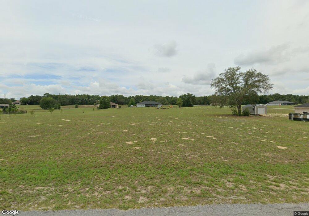
00294 E Samuel Ct Hernando, FL 34442
Estimated Value: $59,732 - $95,000
Studio
--
Bath
--
Sq Ft
43,560
Sq Ft Lot
About This Home
This home is located at 00294 E Samuel Ct, Hernando, FL 34442 and is currently estimated at $72,911. 00294 E Samuel Ct is a home located in Citrus County with nearby schools including Forest Ridge Elementary School, Citrus Springs Middle School, and Lecanto High School.
Ownership History
Date
Name
Owned For
Owner Type
Purchase Details
Closed on
Nov 3, 2025
Sold by
Ojeda Astrid Del Pilar Diaz
Bought by
Vivas Gina Marcela Sola
Current Estimated Value
Purchase Details
Closed on
Mar 4, 2025
Sold by
Ng Florida Services Llc
Bought by
Ojeda Astrid Del Pilar Di
Purchase Details
Closed on
Apr 21, 2023
Sold by
Bricks Investment Llc
Bought by
Ng Florida Services Llc
Purchase Details
Closed on
Oct 28, 2022
Sold by
Fair Winds Capital Llc
Bought by
Bricks Investment Llc
Purchase Details
Closed on
Jul 14, 2020
Sold by
Sind Investments Ltd
Bought by
Fair Winds Capital Llc
Purchase Details
Closed on
Dec 9, 2011
Sold by
Palmieri Richard and Palmieri Dorothy R
Bought by
Sind Investments Ltd
Purchase Details
Closed on
May 5, 2004
Sold by
Bosze Dennis J and Bosze Agnes M
Bought by
Palmieri Richard and Palmieri Dorothy R
Purchase Details
Closed on
Jul 1, 1995
Bought by
Sind Investments Ltd
Create a Home Valuation Report for This Property
The Home Valuation Report is an in-depth analysis detailing your home's value as well as a comparison with similar homes in the area
Home Values in the Area
Average Home Value in this Area
Purchase History
| Date | Buyer | Sale Price | Title Company |
|---|---|---|---|
| Vivas Gina Marcela Sola | -- | None Listed On Document | |
| Vivas Gina Marcela Sola | $100 | None Listed On Document | |
| Ojeda Astrid Del Pilar Di | -- | None Listed On Document | |
| Ng Florida Services Llc | -- | None Listed On Document | |
| Bricks Investment Llc | $36,000 | -- | |
| Fair Winds Capital Llc | $19,500 | Southern Security Ttl Svcs I | |
| Fair Winds Capital Llc | $19,500 | Southern Security Title | |
| Sind Investments Ltd | $11,500 | Southern Security Title Serv | |
| Palmieri Richard | $19,000 | Nature Coast Title Co Inc | |
| Sind Investments Ltd | $35,900 | -- |
Source: Public Records
Tax History
| Year | Tax Paid | Tax Assessment Tax Assessment Total Assessment is a certain percentage of the fair market value that is determined by local assessors to be the total taxable value of land and additions on the property. | Land | Improvement |
|---|---|---|---|---|
| 2025 | $419 | $32,000 | $32,000 | -- |
| 2024 | $385 | $26,500 | $26,500 | -- |
| 2023 | $385 | $24,000 | $24,000 | $0 |
| 2022 | $251 | $18,000 | $18,000 | $0 |
| 2021 | $210 | $12,880 | $12,880 | $0 |
| 2020 | $184 | $11,400 | $11,400 | $0 |
| 2019 | $169 | $10,000 | $10,000 | $0 |
| 2018 | $133 | $8,660 | $8,660 | $0 |
| 2017 | $172 | $11,000 | $11,000 | $0 |
| 2016 | $171 | $10,500 | $10,500 | $0 |
| 2015 | $164 | $9,780 | $9,780 | $0 |
| 2014 | $163 | $9,435 | $9,435 | $0 |
Source: Public Records
Map
Nearby Homes
- 105 E Samuel Ct
- 74 E Dusty Ct
- 2924 N Anthony Ave
- 3076 N Clements Ave
- 570 E Bismark St
- 2334 N Alachua Point
- 3002 N Clements Ave
- 2347 N Putnam Point
- 3034 N Clements Ave
- 656 E Alaska Ln
- 183 E Boston St
- 70 W Sugarmaple Ln
- 65 E Boston St
- 574 E Everett Ln
- 230 E Boston St
- 701 E Connecticut Ln
- 2988 N Anthony Ave
- 204 W Sugarmaple Ln
- 2257 N Hickory Glen Point
- 50 W Glen Arbor Ln
- 272 E Samuel Ct
- 294 E Samuel Ct
- 220 E Samuel Ct
- 293 E Dusty Ct
- 316 E Samuel Ct
- 273 E Samuel Ct
- 198 E Samuel Ct
- 315 E Dusty Ct
- 412 E Samuel Ct
- 221 E Samuel Ct
- 317 E Samuel Ct
- 00343 E Dusty Ct
- 164 E Samuel Ct
- 343 E Dusty Ct
- 343 S Dusty Ct W
- 381 E Dusty Ct
- 345 E Samuel Ct
- 382 E Samuels Ct
- 382 E Samuel Ct
Your Personal Tour Guide
Ask me questions while you tour the home.