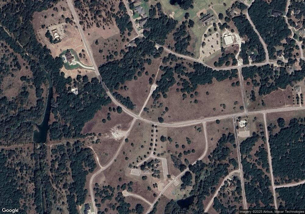
01641 White Bluff Dr Whitney, TX 76692
Estimated Value: $22,625 - $237,000
--
Bed
--
Bath
--
Sq Ft
0.88
Acres
About This Home
This home is located at 01641 White Bluff Dr, Whitney, TX 76692 and is currently estimated at $129,813. 01641 White Bluff Dr is a home located in Hill County with nearby schools including Whitney Elementary School, Whitney Intermediate School, and Whitney Middle School.
Ownership History
Date
Name
Owned For
Owner Type
Purchase Details
Closed on
Nov 27, 2023
Sold by
Jones Kathleen D and Jones John L
Bought by
Mattson Patrick
Current Estimated Value
Purchase Details
Closed on
Jan 25, 2022
Sold by
Jones Kathleen D
Bought by
Jones John L
Purchase Details
Closed on
Mar 6, 2021
Sold by
Hanes Stanley and Sogin Deborah
Bought by
Jones Kathleen D
Purchase Details
Closed on
Mar 4, 2016
Sold by
Emberton Laveme Carson and Hanes Laverne
Bought by
Hanes Stanley Houston and Sogin Deborah Ann
Create a Home Valuation Report for This Property
The Home Valuation Report is an in-depth analysis detailing your home's value as well as a comparison with similar homes in the area
Home Values in the Area
Average Home Value in this Area
Purchase History
| Date | Buyer | Sale Price | Title Company |
|---|---|---|---|
| Mattson Patrick | -- | Micro Title | |
| Jones John L | -- | None Listed On Document | |
| Jones Kathleen D | -- | None Available | |
| Hanes Stanley Houston | -- | None Available |
Source: Public Records
Tax History Compared to Growth
Tax History
| Year | Tax Paid | Tax Assessment Tax Assessment Total Assessment is a certain percentage of the fair market value that is determined by local assessors to be the total taxable value of land and additions on the property. | Land | Improvement |
|---|---|---|---|---|
| 2025 | $424 | $27,630 | $27,630 | $0 |
| 2024 | $424 | $27,630 | $27,630 | $0 |
| 2023 | $430 | $27,630 | $27,630 | $0 |
| 2022 | $133 | $7,090 | $7,090 | $0 |
| 2021 | $148 | $6,970 | $6,970 | $0 |
| 2020 | $155 | $6,970 | $6,970 | $0 |
| 2019 | $162 | $6,970 | $6,970 | $0 |
| 2018 | $162 | $6,970 | $6,970 | $0 |
| 2017 | $163 | $6,970 | $6,970 | $0 |
| 2016 | $163 | $6,970 | $6,970 | $0 |
| 2015 | -- | $8,090 | $8,090 | $0 |
| 2014 | -- | $8,990 | $8,990 | $0 |
Source: Public Records
Map
Nearby Homes
- 24103 Stonewood Dr
- 25047 Forrest Dr
- 22022 Raintree Ct
- 18111 Forrest Dr
- 18063 Forrest Dr
- 18109 Forrest Dr
- 18104 Forrest Dr
- 18066 Forrest Dr
- 18060 Forrest Dr
- 18076 Forrest Dr
- 18093 Forrest Dr
- 18078 Forrest Dr
- 18098 Forrest Dr
- 18062 Forrest Dr
- 24042 Stonewood Dr
- 18133 Woodside Dr
- 25007 S Hill Dr
- 24158 Woodsetter Dr
- 18031 S Hill Dr
- 18029 Southhill Dr
- 28028 White Bluff Dr
- 01647 White Bluff Dr
- 01732E White Bluff Dr
- 1034 White Bluff Dr
- 1033 White Bluff Dr Unit 1
- 1033 White Bluff Dr
- 1035 White Bluff Dr
- 1654 White Bluff Dr
- 1031 Barksdale Ct
- 124 Barksdale Ct
- 24106 Stonewood Dr
- 18140 Woodside Dr
- 25054 Woodmont Ct
- 18145 Woodside Dr
- 1037 White Bluff Dr
- 24051 Stonewood Dr
- 1030 & 1031 Barksdale Ct
- 24049 Stonewood Dr
- 18136 Woodside Dr
- 25051 Woodmont Ct
