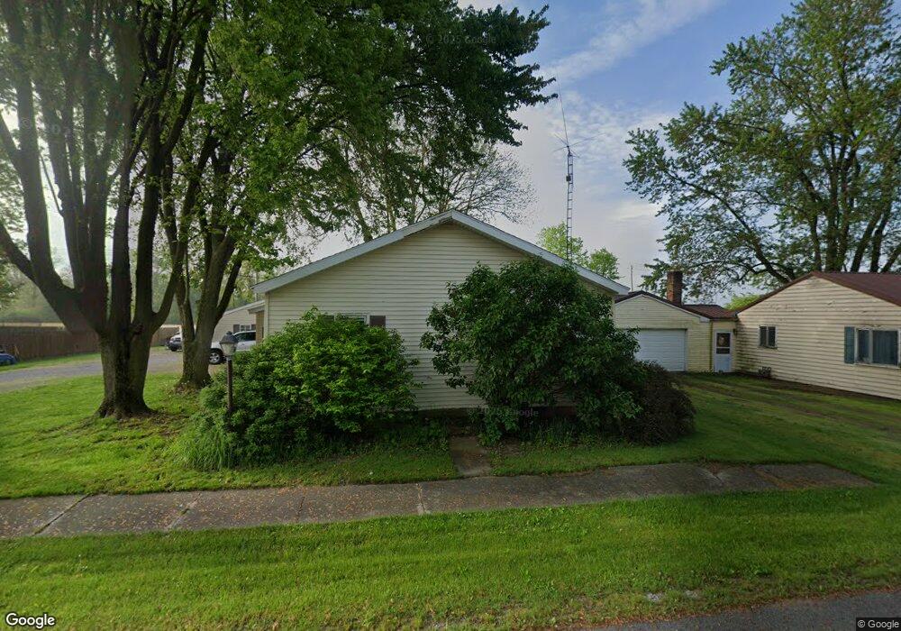
05354 State Route 197 Spencerville, OH 45887
Estimated Value: $100,000 - $209,000
3
Beds
1
Bath
1,286
Sq Ft
$104/Sq Ft
Est. Value
About This Home
This home is located at 05354 State Route 197, Spencerville, OH 45887 and is currently estimated at $133,185, approximately $103 per square foot. 05354 State Route 197 is a home located in Auglaize County with nearby schools including Spencerville Elementary School, Spencerville Middle School, and Spencerville High School.
Ownership History
Date
Name
Owned For
Owner Type
Purchase Details
Closed on
Nov 21, 2025
Sold by
Moorman Joshua W
Bought by
Pocza Christopher and Pocza Rebekah
Current Estimated Value
Purchase Details
Closed on
Oct 18, 2018
Sold by
Mcpheron Justin E
Bought by
Moorman Joshua W
Home Financials for this Owner
Home Financials are based on the most recent Mortgage that was taken out on this home.
Original Mortgage
$45,600
Interest Rate
4.5%
Mortgage Type
New Conventional
Purchase Details
Closed on
Jul 3, 2007
Sold by
Mcpheron Michael D and Mcpheron Sheila
Bought by
Mcpheron Justin E
Home Financials for this Owner
Home Financials are based on the most recent Mortgage that was taken out on this home.
Original Mortgage
$47,000
Interest Rate
6.37%
Mortgage Type
Unknown
Purchase Details
Closed on
Nov 18, 2003
Sold by
Birt Helen Ann
Bought by
Mcpheron Justin E
Create a Home Valuation Report for This Property
The Home Valuation Report is an in-depth analysis detailing your home's value as well as a comparison with similar homes in the area
Home Values in the Area
Average Home Value in this Area
Purchase History
| Date | Buyer | Sale Price | Title Company |
|---|---|---|---|
| Pocza Christopher | $59,000 | American Legacy Title | |
| Moorman Joshua W | $48,000 | None Available | |
| Mcpheron Justin E | -- | Kilco Title Agency Inc | |
| Mcpheron Justin E | $17,500 | -- |
Source: Public Records
Mortgage History
| Date | Status | Borrower | Loan Amount |
|---|---|---|---|
| Previous Owner | Moorman Joshua W | $45,600 | |
| Previous Owner | Mcpheron Justin E | $47,000 |
Source: Public Records
Tax History Compared to Growth
Tax History
| Year | Tax Paid | Tax Assessment Tax Assessment Total Assessment is a certain percentage of the fair market value that is determined by local assessors to be the total taxable value of land and additions on the property. | Land | Improvement |
|---|---|---|---|---|
| 2024 | $1,385 | $27,910 | $4,730 | $23,180 |
| 2023 | $904 | $27,910 | $4,730 | $23,180 |
| 2022 | $731 | $20,330 | $4,280 | $16,050 |
| 2021 | $707 | $20,330 | $4,280 | $16,050 |
| 2020 | $735 | $20,339 | $4,284 | $16,055 |
| 2019 | $619 | $17,235 | $3,630 | $13,605 |
| 2018 | $622 | $17,235 | $3,630 | $13,605 |
| 2017 | $613 | $17,235 | $3,630 | $13,605 |
| 2016 | $589 | $16,993 | $3,458 | $13,535 |
| 2015 | $596 | $16,993 | $3,458 | $13,535 |
| 2014 | $604 | $16,993 | $3,458 | $13,535 |
| 2013 | $623 | $16,993 | $3,458 | $13,535 |
Source: Public Records
Map
Nearby Homes
- 00 Kleinoeder Rd
- 521 S Broadway St
- 510 S Broadway St
- 420 S Canal St
- 123 Oakland Ave
- 601 Sunset Ave
- 316 E 4th St
- 213 N Pearl St
- 417 W 4th St
- 421 W 4th St
- 433 W 4th St
- 17501 County Road 66a
- 18341 Saint Marys River Rd
- 425 N Main St
- 408 N Mulberry St
- 620 N Broadway St
- 714 Briggs Ave Unit 1
- 21197 Ohio 116
- 21183 Ohio 116
- 22284 Ohio 198
- 05340 State Route 197
- 05372 State Route 197
- 5328 State Route 197
- 5328 Sr 197
- 5328 Ohio 197
- 05328 State Route 197
- 05386 State Route 197
- 05341 State Route 197
- 05353 State Route 197
- 05329 State Route
- 05385 State Route
- 5385 Ohio 197
- 05385 State Route 197
- 5341 Sr 197
- 5341 Ohio 197
- 05313 State Route 197
- 5313 State Route 197