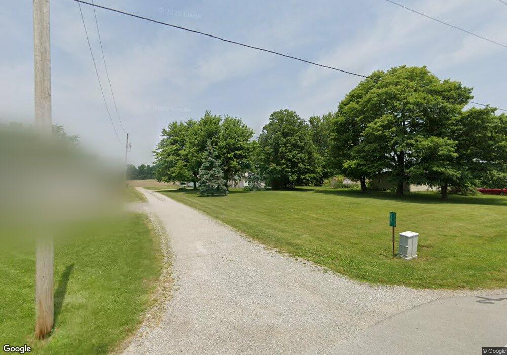
05477 State Route 197 Spencerville, OH 45887
Estimated Value: $98,000 - $226,000
2
Beds
1
Bath
1,023
Sq Ft
$139/Sq Ft
Est. Value
About This Home
This home is located at 05477 State Route 197, Spencerville, OH 45887 and is currently estimated at $142,052, approximately $138 per square foot. 05477 State Route 197 is a home located in Auglaize County with nearby schools including Spencerville Elementary School, Spencerville Middle School, and Spencerville High School.
Ownership History
Date
Name
Owned For
Owner Type
Purchase Details
Closed on
Jul 6, 2022
Sold by
Savidge and Keith
Bought by
Brown Scott and Brown Pamela
Current Estimated Value
Purchase Details
Closed on
Jul 18, 2014
Sold by
Daniels Vernon L and Daniels Joan
Bought by
Daniels Vernon L and Daniels Joan
Create a Home Valuation Report for This Property
The Home Valuation Report is an in-depth analysis detailing your home's value as well as a comparison with similar homes in the area
Home Values in the Area
Average Home Value in this Area
Purchase History
| Date | Buyer | Sale Price | Title Company |
|---|---|---|---|
| Brown Scott | $28,766 | None Listed On Document | |
| Daniels Vernon L | -- | None Available |
Source: Public Records
Tax History Compared to Growth
Tax History
| Year | Tax Paid | Tax Assessment Tax Assessment Total Assessment is a certain percentage of the fair market value that is determined by local assessors to be the total taxable value of land and additions on the property. | Land | Improvement |
|---|---|---|---|---|
| 2024 | $1,600 | $32,240 | $6,720 | $25,520 |
| 2023 | $1,064 | $32,240 | $6,720 | $25,520 |
| 2022 | $909 | $25,030 | $6,080 | $18,950 |
| 2021 | $569 | $25,030 | $6,080 | $18,950 |
| 2020 | $591 | $25,032 | $6,083 | $18,949 |
| 2019 | $452 | $21,214 | $5,156 | $16,058 |
| 2018 | $455 | $21,214 | $5,156 | $16,058 |
| 2017 | $447 | $21,214 | $5,156 | $16,058 |
| 2016 | $427 | $20,990 | $4,911 | $16,079 |
| 2015 | $432 | $20,990 | $4,911 | $16,079 |
| 2014 | $438 | $20,990 | $4,911 | $16,079 |
| 2013 | $452 | $20,990 | $4,911 | $16,079 |
Source: Public Records
Map
Nearby Homes
- 00 Kleinoeder Rd
- 521 S Broadway St
- 510 S Broadway St
- 420 S Canal St
- 123 Oakland Ave
- 601 Sunset Ave
- 316 E 4th St
- 213 N Pearl St
- 417 W 4th St
- 421 W 4th St
- 433 W 4th St
- 425 N Main St
- 408 N Mulberry St
- 17501 County Road 66a
- 620 N Broadway St
- 18341 Saint Marys River Rd
- 714 Briggs Ave Unit 1
- 22284 Ohio 198
- 21197 Ohio 116
- 21183 Ohio 116
- 05475 State Route 197
- 05483 State Route 197
- 05461 State Route 197
- 05495 State Route 197
- 05480 State Route 197
- 5329 Kossuth Amanda Rd
- 21036 State Route 66
- 21036 County Road 66a
- 21036 County Road 66a
- 21055 County Road 66a
- 05408 State Route 197
- 05385 State Route 197
- 05385 State Route
- 5385 Ohio 197
- 05386 State Route 197
- 05372 State Route 197
- 05353 State Route 197
- 05687 Kossuth Amanda Rd