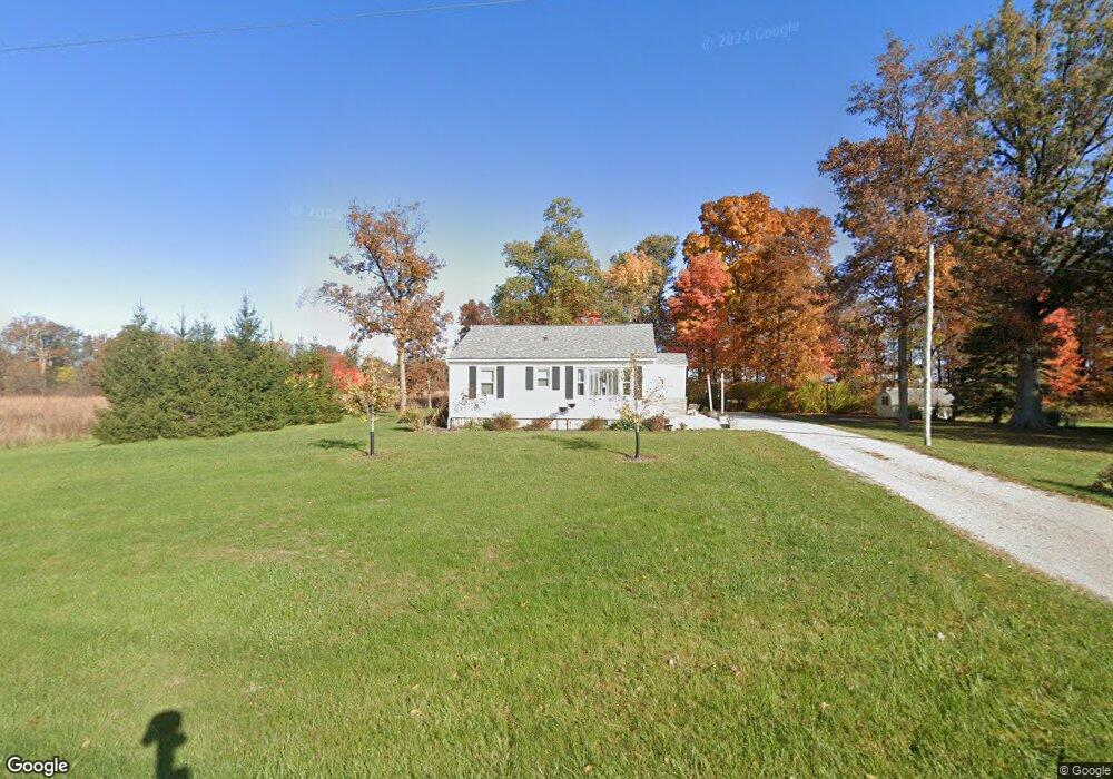
05633 State Route 219 New Knoxville, OH 45871
Estimated Value: $113,000 - $173,000
2
Beds
1
Bath
960
Sq Ft
$147/Sq Ft
Est. Value
About This Home
This home is located at 05633 State Route 219, New Knoxville, OH 45871 and is currently estimated at $141,328, approximately $147 per square foot. 05633 State Route 219 is a home with nearby schools including New Knoxville Elementary School.
Ownership History
Date
Name
Owned For
Owner Type
Purchase Details
Closed on
May 3, 2022
Sold by
Fledderjohann Wayne L and Fledderjohann Kimberly A
Bought by
Fledderjohann Family Trust
Current Estimated Value
Purchase Details
Closed on
Jul 29, 2014
Sold by
Opperman Betty L and Schroer Florence A
Bought by
Fledderjohann Wayne L and Fledderjohann Kimberly A
Create a Home Valuation Report for This Property
The Home Valuation Report is an in-depth analysis detailing your home's value as well as a comparison with similar homes in the area
Home Values in the Area
Average Home Value in this Area
Purchase History
| Date | Buyer | Sale Price | Title Company |
|---|---|---|---|
| Fledderjohann Family Trust | -- | -- | |
| Fledderjohann Wayne L | $62,000 | Attorney |
Source: Public Records
Tax History Compared to Growth
Tax History
| Year | Tax Paid | Tax Assessment Tax Assessment Total Assessment is a certain percentage of the fair market value that is determined by local assessors to be the total taxable value of land and additions on the property. | Land | Improvement |
|---|---|---|---|---|
| 2024 | $2,394 | $33,810 | $8,890 | $24,920 |
| 2023 | $1,027 | $33,810 | $8,890 | $24,920 |
| 2022 | $1,030 | $26,250 | $7,410 | $18,840 |
| 2021 | $1,008 | $26,250 | $7,410 | $18,840 |
| 2020 | $1,012 | $26,247 | $7,410 | $18,837 |
| 2019 | $863 | $21,896 | $6,174 | $15,722 |
| 2018 | $861 | $21,896 | $6,174 | $15,722 |
| 2017 | $864 | $21,896 | $6,174 | $15,722 |
| 2016 | $866 | $22,474 | $5,880 | $16,594 |
| 2015 | $828 | $22,030 | $5,436 | $16,594 |
| 2014 | $496 | $22,030 | $5,436 | $16,594 |
| 2013 | $300 | $22,030 | $5,436 | $16,594 |
Source: Public Records
Map
Nearby Homes
- 107 S Mill St
- 101 Saxony Dr
- 103 Saxony Dr
- 0 Saxony Unit 1032555
- 0 Schwieterman Unit 4 290334
- 0 Schwieterman Unit 8 290342
- 0 Schwieterman Unit 10 290345
- 0 Schwieterman Unit 11 290346
- 0 Schwieterman Unit 1 290329
- 0 Schwieterman Unit 9 290344
- 0 Schwieterman Unit 7 290341
- 0 Schwieterman Unit 12 290347
- 0 Schwieterman Unit 13 290348
- 0 S Beech St
- 437 Woodward St
- 116 Meadowbrook Ln
- 602 Weston St
- 408 S Vine St
- 403 S Vine St
- 216 Beech St
- 05679 State Route 219
- 5679 Ohio 219
- 05683 State Route 219
- 05477 State Route 219
- 5480 Ohio 219
- 05480 State Route 219
- 05937 State Route 219
- 5325 State Route 219
- 05208 State Route 219
- 05300 Henschen Rd
- 05105 Henschen Rd
- 05071 Henschen Rd
- 5071 Henschen Rd
- 09882 Plattner Rd
- 05051 Henschen Rd
- 05051 Henschen Rd
- 5051 Henschen Rd
- 09842 Plattner Rd
- 06247 State Route 219
- 09818 Plattner Rd