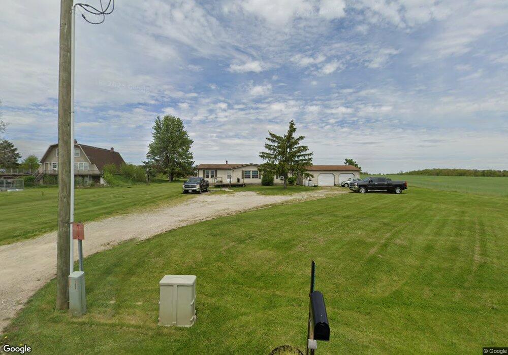
06529 Ioof Rd Spencerville, OH 45887
Estimated Value: $184,000 - $289,000
3
Beds
2
Baths
1,456
Sq Ft
$162/Sq Ft
Est. Value
About This Home
This home is located at 06529 Ioof Rd, Spencerville, OH 45887 and is currently estimated at $235,198, approximately $161 per square foot. 06529 Ioof Rd is a home located in Auglaize County with nearby schools including Spencerville Elementary School, Spencerville Middle School, and Spencerville High School.
Ownership History
Date
Name
Owned For
Owner Type
Purchase Details
Closed on
Oct 6, 2023
Sold by
Mack Lowell A
Bought by
Mack Eric Allen
Current Estimated Value
Purchase Details
Closed on
Oct 22, 2010
Sold by
Mack Jeanette E
Bought by
Mack Lowell A
Purchase Details
Closed on
Jun 11, 1992
Sold by
Pohlman James D
Bought by
Mack Lowell A
Purchase Details
Closed on
Mar 30, 1992
Bought by
Fifth Third Bank
Purchase Details
Closed on
Jan 2, 1992
Sold by
Mack Clara Naomi
Bought by
Fifth Third Bank
Create a Home Valuation Report for This Property
The Home Valuation Report is an in-depth analysis detailing your home's value as well as a comparison with similar homes in the area
Home Values in the Area
Average Home Value in this Area
Purchase History
| Date | Buyer | Sale Price | Title Company |
|---|---|---|---|
| Mack Eric Allen | -- | Superior Title | |
| Mack Lowell A | -- | Attorney | |
| Mack Lowell A | $20,000 | -- | |
| Fifth Third Bank | $108,500 | -- | |
| Fifth Third Bank | $116,000 | -- |
Source: Public Records
Tax History Compared to Growth
Tax History
| Year | Tax Paid | Tax Assessment Tax Assessment Total Assessment is a certain percentage of the fair market value that is determined by local assessors to be the total taxable value of land and additions on the property. | Land | Improvement |
|---|---|---|---|---|
| 2024 | $2,108 | $41,310 | $8,210 | $33,100 |
| 2023 | $1,350 | $41,310 | $8,210 | $33,100 |
| 2022 | $1,184 | $32,750 | $7,470 | $25,280 |
| 2021 | $1,159 | $32,750 | $7,470 | $25,280 |
| 2020 | $1,188 | $32,743 | $7,466 | $25,277 |
| 2019 | $993 | $27,661 | $6,276 | $21,385 |
| 2018 | $999 | $27,661 | $6,276 | $21,385 |
| 2017 | $983 | $27,661 | $6,276 | $21,385 |
| 2016 | $973 | $28,211 | $5,975 | $22,236 |
| 2015 | $1,538 | $28,211 | $5,975 | $22,236 |
| 2014 | $997 | $28,211 | $5,975 | $22,236 |
| 2013 | $1,626 | $28,211 | $5,975 | $22,236 |
Source: Public Records
Map
Nearby Homes
- 123 Oakland Ave
- 00 Kleinoeder Rd
- 601 Sunset Ave
- 521 S Broadway St
- 510 S Broadway St
- 420 S Canal St
- 316 E 4th St
- 213 N Pearl St
- 425 N Main St
- 408 N Mulberry St
- 417 W 4th St
- 421 W 4th St
- 620 N Broadway St
- 433 W 4th St
- 714 Briggs Ave Unit 1
- 22284 Ohio 198
- 7470 Fort Amanda Rd
- 14101 Allentown Rd
- 17501 County Road 66a
- 17683 Ohio 117
- 06511 Ioof Rd
- 06433 Ioof Rd
- 06401 Ioof Rd
- 06645 Kossuth Amanda Rd
- 06709 Kossuth Amanda Rd
- 06250 Ioof Rd
- 06365 Ioof Rd
- 06365 Ioof Rd
- 06429 Kossuth Amanda Rd
- 05978 Kossuth Amanda Rd
- 06048 Kossuth Amanda Rd
- 06362 Kossuth Amanda Rd
- 06808 Kossuth Amanda Rd
- 06343 Kossuth Amanda Rd
- 06343 Kossuth Amanda Rd
- 06109 Ioof Rd
- 5828 Kossuth Amanda Loop