07412 Moulton Angle Rd New Knoxville, OH 45871
Estimated Value: $248,000 - $426,000
4
Beds
1
Bath
2,313
Sq Ft
$144/Sq Ft
Est. Value
About This Home
This home is located at 07412 Moulton Angle Rd, New Knoxville, OH 45871 and is currently estimated at $332,278, approximately $143 per square foot. 07412 Moulton Angle Rd is a home located in Auglaize County with nearby schools including New Knoxville Elementary School.
Ownership History
Date
Name
Owned For
Owner Type
Purchase Details
Closed on
Apr 18, 2018
Sold by
Mackie Johnna Marie
Bought by
Mackie Samuel Charles
Current Estimated Value
Purchase Details
Closed on
Nov 2, 1998
Sold by
Lykins Michael Lee
Bought by
Mackie Samuel Charles
Purchase Details
Closed on
May 8, 1997
Sold by
Lykins Michael Lee and Lykins Lisa R
Bought by
Lykins Michael Lee
Purchase Details
Closed on
Nov 7, 1995
Bought by
Lykins Michael Lee and Lykins Lisa R
Purchase Details
Closed on
Dec 27, 1994
Sold by
Katterheinrich Gloria H
Bought by
Eddingfield Gloria H Trustee
Purchase Details
Closed on
Jun 18, 1991
Sold by
Katterheinrich Howard G
Bought by
Katterheinrich Gloria H
Create a Home Valuation Report for This Property
The Home Valuation Report is an in-depth analysis detailing your home's value as well as a comparison with similar homes in the area
Home Values in the Area
Average Home Value in this Area
Purchase History
| Date | Buyer | Sale Price | Title Company |
|---|---|---|---|
| Mackie Samuel Charles | -- | None Available | |
| Mackie Samuel Charles | $140,000 | -- | |
| Lykins Michael Lee | -- | -- | |
| Lykins Michael Lee | $148,500 | -- | |
| Eddingfield Gloria H Trustee | -- | -- | |
| Katterheinrich Gloria H | -- | -- |
Source: Public Records
Tax History Compared to Growth
Tax History
| Year | Tax Paid | Tax Assessment Tax Assessment Total Assessment is a certain percentage of the fair market value that is determined by local assessors to be the total taxable value of land and additions on the property. | Land | Improvement |
|---|---|---|---|---|
| 2024 | $5,327 | $79,560 | $30,130 | $49,430 |
| 2023 | $2,323 | $79,560 | $30,130 | $49,430 |
| 2022 | $2,521 | $67,350 | $25,110 | $42,240 |
| 2021 | $2,502 | $67,350 | $25,110 | $42,240 |
| 2020 | $1,690 | $67,351 | $25,109 | $42,242 |
| 2019 | $2,150 | $57,229 | $21,280 | $35,949 |
| 2018 | $2,151 | $57,229 | $21,280 | $35,949 |
| 2017 | $2,154 | $57,229 | $21,280 | $35,949 |
| 2016 | $1,987 | $53,988 | $20,265 | $33,723 |
| 2015 | $1,936 | $53,988 | $20,265 | $33,723 |
| 2014 | $1,939 | $53,988 | $20,265 | $33,723 |
| 2013 | $2,290 | $53,988 | $20,265 | $33,723 |
Source: Public Records
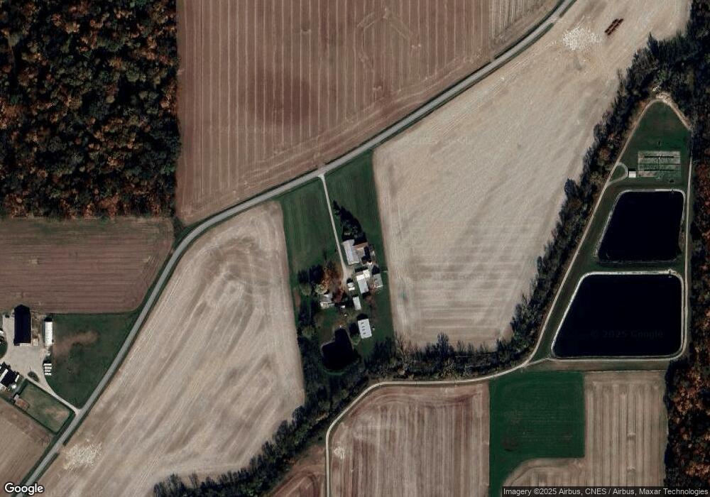
Map
Nearby Homes
- 101 Saxony Dr
- 103 Saxony Dr
- 107 S Mill St
- 0 Saxony Unit 1032555
- 8937 Wiefenbach Rd
- 116 Meadowbrook Ln
- 0 S Beech St
- 16785 Roettger Rd
- 200 N Knoxville Ave Unit 7
- 8304 Kruse Rd
- 408 S Vine St
- 1015 Columbia St
- 403 S Vine St
- 602 Weston St
- 216 Beech St
- 437 Woodward St
- 105 Maple St
- 125 Beech St
- 811 Columbia St
- 911 Cleveland Ave
- 125 Hanover Ct
- 07166 Moulton Angle Rd
- lot 28 Moulton-New Knoxville
- 07092 Moulton Angle Rd
- 0 Moulton Angle Rd
- 113 Hanover Ct
- 114 Hanover Ct
- 111 Hanover Ct
- 106 Saxony Dr
- 104 Saxony Dr
- 100 Saxony Dr
- 100 Hanover Ct
- 112 Hanover Ct
- 105 Hanover Ct
- 18 Saxony Dr
- 17 Saxony Dr
- 15 Saxony Dr
- 16 Saxony Dr
- 5 Saxony Dr
- 4 Saxony Dr