0853 Independence Rd Unit 5B Keystone, CO 80435
Keystone NeighborhoodEstimated Value: $1,588,000 - $2,119,000
3
Beds
3
Baths
2,003
Sq Ft
$957/Sq Ft
Est. Value
About This Home
This home is located at 0853 Independence Rd Unit 5B, Keystone, CO 80435 and is currently estimated at $1,916,976, approximately $957 per square foot. 0853 Independence Rd Unit 5B is a home located in Summit County with nearby schools including Summit Cove Elementary School, Summit Middle School, and Summit High School.
Ownership History
Date
Name
Owned For
Owner Type
Purchase Details
Closed on
Aug 2, 2016
Sold by
Curry John Michael and Curry Rebecca
Bought by
Michael And Rebecca Curry Trust
Current Estimated Value
Purchase Details
Closed on
Jul 7, 2013
Sold by
Townhomesllc Alders
Bought by
Curry John Michael and Curry Rebecca
Home Financials for this Owner
Home Financials are based on the most recent Mortgage that was taken out on this home.
Original Mortgage
$450,000
Interest Rate
3.54%
Mortgage Type
New Conventional
Create a Home Valuation Report for This Property
The Home Valuation Report is an in-depth analysis detailing your home's value as well as a comparison with similar homes in the area
Home Values in the Area
Average Home Value in this Area
Purchase History
| Date | Buyer | Sale Price | Title Company |
|---|---|---|---|
| Michael And Rebecca Curry Trust | -- | None Available | |
| Curry John Michael | $759,900 | Stewart Title Co |
Source: Public Records
Mortgage History
| Date | Status | Borrower | Loan Amount |
|---|---|---|---|
| Previous Owner | Curry John Michael | $450,000 |
Source: Public Records
Tax History Compared to Growth
Tax History
| Year | Tax Paid | Tax Assessment Tax Assessment Total Assessment is a certain percentage of the fair market value that is determined by local assessors to be the total taxable value of land and additions on the property. | Land | Improvement |
|---|---|---|---|---|
| 2024 | $5,419 | $103,991 | -- | -- |
| 2023 | $5,419 | $100,306 | $0 | $0 |
| 2022 | $3,624 | $63,419 | $0 | $0 |
| 2021 | $3,655 | $65,244 | $0 | $0 |
| 2020 | $3,104 | $59,181 | $0 | $0 |
| 2019 | $3,061 | $59,181 | $0 | $0 |
| 2018 | $2,947 | $55,204 | $0 | $0 |
| 2017 | $2,695 | $55,204 | $0 | $0 |
| 2016 | $1,270 | $25,630 | $0 | $0 |
Source: Public Records
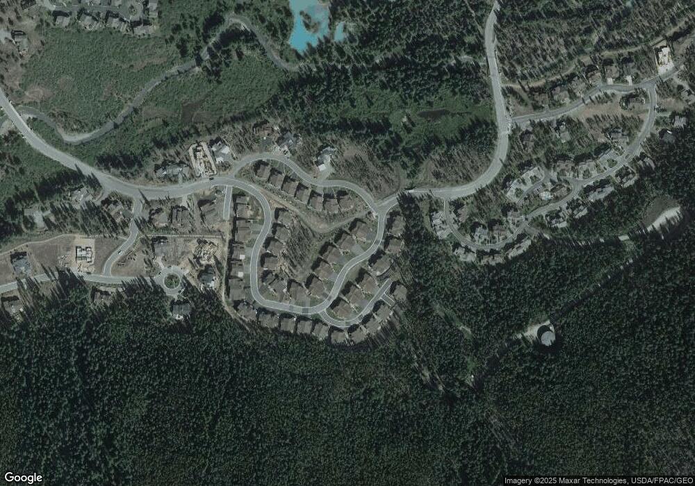
Map
Nearby Homes
- 1653 Oro Grande Dr Unit AA20
- 1653 Oro Grande Dr Unit AA34
- 1653 Oro Grande Dr Unit C21
- 67 Norse Ln Unit 12
- 23097 Barbour Dr Unit 37
- 23110 Us Highway 6 Unit 5094
- 23110 Us Highway 6 Unit 5044
- 23110 Us Highway 6 Unit 5008
- 23110 Us Highway 6 Unit 5074
- 23110 Us Highway 6 Unit 5040
- 23110 Us Highway 6 Unit 5062
- 23110 Us Highway 6 Unit 5054
- 23110 Us Highway 6 Unit 5044
- 23110 Us Highway 6 Unit 5056
- 23110 U S 6 Unit 5074
- 23110 U S 6 Unit 5094
- 23004 Us Highway 6 Unit 204
- 22974 Us Highway 6 Unit 102
- 22974 Us Highway 6 Unit 102
- 100 Norse Ln Unit 22
- 72 Oro Grande Dr Unit 113
- 72 Oro Grande Dr Unit 323
- 72 Oro Grande Dr Unit 322
- 72 Oro Grande Dr Unit 224
- 72 Oro Grande Dr Unit 223
- 72 Oro Grande Dr Unit 222
- 72 Oro Grande Dr Unit 221
- 72 Oro Grande Dr Unit 124
- 72 Oro Grande Dr Unit 123
- 72 Oro Grande Dr Unit 122
- 72 Oro Grande Dr Unit 121
- 72 Oro Grande Dr Unit 114-C
- 72 Oro Grande Dr Unit 212
- 72 Oro Grande Dr Unit 211
- 72 Oro Grande Dr Unit 311-C
- 72 Oro Grande Dr Unit 111
- 72 Oro Grande Dr Unit 3222
- 60 Oro Grande Dr Unit 303
- 60 Oro Grande Dr Unit 203
- 60 Oro Grande Dr Unit 302