09099 Monroe Rd Wapakoneta, OH 45895
Estimated Value: $286,000 - $408,000
3
Beds
2
Baths
1,670
Sq Ft
$213/Sq Ft
Est. Value
About This Home
This home is located at 09099 Monroe Rd, Wapakoneta, OH 45895 and is currently estimated at $356,357, approximately $213 per square foot. 09099 Monroe Rd is a home located in Auglaize County with nearby schools including Wapakoneta Elementary School, Wapakoneta Middle School, and Wapakoneta High School.
Ownership History
Date
Name
Owned For
Owner Type
Purchase Details
Closed on
May 13, 2022
Sold by
Jacob Miller Allen
Bought by
Miller Roger A and Miller Jody E
Current Estimated Value
Purchase Details
Closed on
May 11, 2022
Sold by
Jacob Miller Allen
Bought by
Miller Roger A and Miller Jody E
Purchase Details
Closed on
Nov 9, 1995
Sold by
Mack Kay E
Bought by
Miller Roger A and Miller Jody E
Purchase Details
Closed on
May 2, 1994
Sold by
Mack Jerry
Bought by
Mack Kay E
Purchase Details
Closed on
Dec 1, 1989
Create a Home Valuation Report for This Property
The Home Valuation Report is an in-depth analysis detailing your home's value as well as a comparison with similar homes in the area
Home Values in the Area
Average Home Value in this Area
Purchase History
| Date | Buyer | Sale Price | Title Company |
|---|---|---|---|
| Miller Roger A | $145,000 | -- | |
| Mack Kay E | -- | -- | |
| -- | $10,000 | -- |
Source: Public Records
Mortgage History
| Date | Status | Borrower | Loan Amount |
|---|---|---|---|
| Previous Owner | Miller Roger A | $94,000 | |
| Previous Owner | Miller Roger A | $65,778 |
Source: Public Records
Tax History Compared to Growth
Tax History
| Year | Tax Paid | Tax Assessment Tax Assessment Total Assessment is a certain percentage of the fair market value that is determined by local assessors to be the total taxable value of land and additions on the property. | Land | Improvement |
|---|---|---|---|---|
| 2024 | $4,607 | $94,990 | $18,320 | $76,670 |
| 2023 | $1,511 | $94,990 | $18,320 | $76,670 |
| 2022 | $2,903 | $83,500 | $16,660 | $66,840 |
| 2021 | $1,431 | $83,500 | $16,660 | $66,840 |
| 2020 | $1,435 | $83,507 | $16,664 | $66,843 |
| 2019 | $2,493 | $70,568 | $14,004 | $56,564 |
| 2018 | $2,507 | $70,568 | $14,004 | $56,564 |
| 2017 | $2,495 | $70,568 | $14,004 | $56,564 |
| 2016 | $2,094 | $59,182 | $13,335 | $45,847 |
| 2015 | $2,092 | $59,182 | $13,335 | $45,847 |
| 2014 | $2,105 | $59,182 | $13,335 | $45,847 |
| 2013 | $2,150 | $59,182 | $13,335 | $45,847 |
Source: Public Records
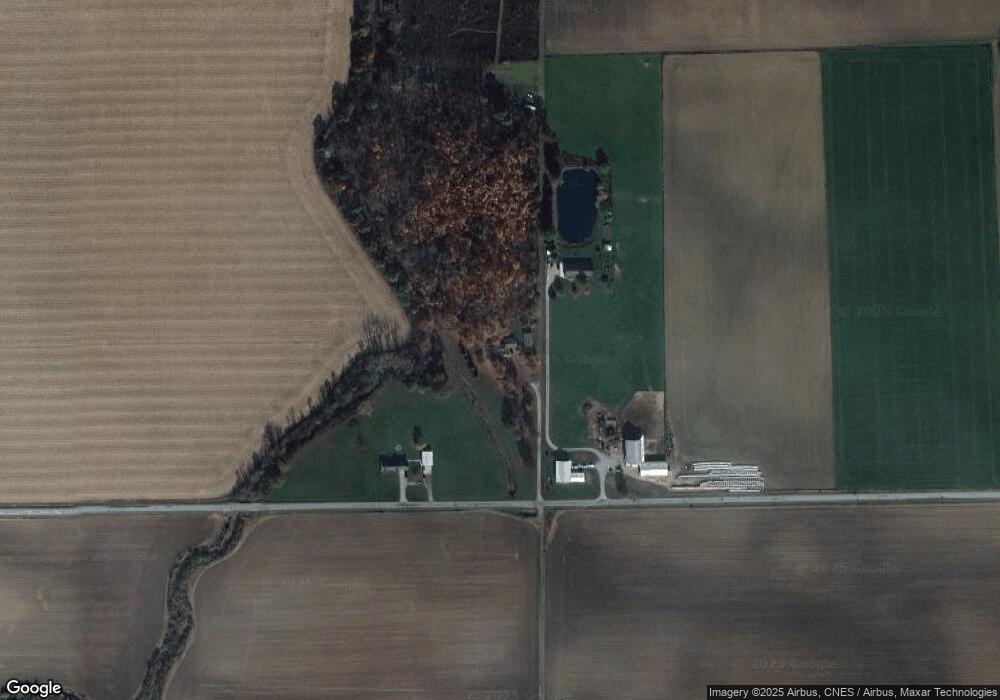
Map
Nearby Homes
- 16824 Fisher Rd
- 7470 Fort Amanda Rd
- 16225 Nottingham Dr
- 5653 Fort Amanda Rd
- 1203 Oakridge Ct
- 1110 Poppy Dr
- 701 Warren Dr
- 819 Canterbury Dr
- 818 Primrose Dr
- 1010 Glynwood Rd
- 123 Oakland Ave
- 00 Kleinoeder Rd
- 221 S Broadway St
- 9770 Agerter Rd
- 4268 Blue Spruce Ln
- 213 N Pearl St
- 3006 Lakeshore Dr
- 822 Barbara Ln
- 4475 Wintergreen Dr
- 316 N Broadway St
- 09099 Monroe Rd
- 09099 Monroe Rd
- 09099 Monroe Rd
- 09041 Monroe Rd
- 08729 Monroe Rd
- 09471 Monroe Rd
- 20265 Conant Rd
- 20326 Conant Rd
- 20337 Conant Rd
- 09540 Monroe Rd
- 09696 Monroe Rd
- 08455 Monroe Rd
- 08455 Monroe Rd
- 08494 Monroe Rd
- 20625 Conant Rd
- 19629 Conant Rd
- 08442 Monroe Rd
- 20749 Conant Rd
- 08330 Monroe Rd