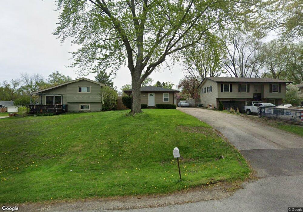
0N127 Stanley St Winfield, IL 60190
Jewell Road NeighborhoodEstimated Value: $226,000 - $307,000
3
Beds
1
Bath
1,008
Sq Ft
$261/Sq Ft
Est. Value
About This Home
This home is located at 0N127 Stanley St, Winfield, IL 60190 and is currently estimated at $262,829, approximately $260 per square foot. 0N127 Stanley St is a home with nearby schools including Carl Sandburg Elementary School, Monroe Middle School, and Wheaton North High School.
Ownership History
Date
Name
Owned For
Owner Type
Purchase Details
Closed on
Oct 28, 2016
Sold by
Parrotte Marcia Ann
Bought by
Cooper William J
Current Estimated Value
Home Financials for this Owner
Home Financials are based on the most recent Mortgage that was taken out on this home.
Original Mortgage
$135,500
Outstanding Balance
$108,196
Interest Rate
3.25%
Mortgage Type
FHA
Estimated Equity
$154,633
Create a Home Valuation Report for This Property
The Home Valuation Report is an in-depth analysis detailing your home's value as well as a comparison with similar homes in the area
Home Values in the Area
Average Home Value in this Area
Purchase History
| Date | Buyer | Sale Price | Title Company |
|---|---|---|---|
| Cooper William J | $129,000 | Chicago Title |
Source: Public Records
Mortgage History
| Date | Status | Borrower | Loan Amount |
|---|---|---|---|
| Open | Cooper William J | $135,500 |
Source: Public Records
Tax History Compared to Growth
Tax History
| Year | Tax Paid | Tax Assessment Tax Assessment Total Assessment is a certain percentage of the fair market value that is determined by local assessors to be the total taxable value of land and additions on the property. | Land | Improvement |
|---|---|---|---|---|
| 2024 | $3,667 | $68,541 | $13,667 | $54,874 |
| 2023 | $3,475 | $63,090 | $12,580 | $50,510 |
| 2022 | $2,945 | $50,170 | $11,880 | $38,290 |
| 2021 | $2,839 | $48,980 | $11,600 | $37,380 |
| 2020 | $2,822 | $48,520 | $11,490 | $37,030 |
| 2019 | $2,743 | $47,240 | $11,190 | $36,050 |
| 2018 | $2,578 | $44,390 | $10,550 | $33,840 |
| 2017 | $2,525 | $42,750 | $10,160 | $32,590 |
| 2016 | $2,479 | $41,040 | $9,750 | $31,290 |
| 2015 | $2,447 | $39,150 | $9,300 | $29,850 |
| 2014 | $3,237 | $49,050 | $9,920 | $39,130 |
| 2013 | $3,138 | $49,200 | $9,950 | $39,250 |
Source: Public Records
Map
Nearby Homes
- 26W278 Harrison Ave
- S071 Leonard St
- S045 Pleasant Hill Rd
- 26W447 Harrison Ave
- 26W537 Barnes Ave
- 0S064 Calvin Ct
- 26W181 Grand Ave
- 26W185 Meadowview Ct
- 1230 Champion Forest Ct
- 200 N Erie St
- 1206 Wheaton Oaks Dr Unit D
- 27W180 Cooley Ave
- 1149 Wheaton Oaks Dr
- 27W250 Birch St
- 0S044 Lee Ct
- 1N027 Ethel St
- 27W375 Oakwood St
- 27W277 Waterford Dr
- 119 N Dorchester Ave
- 122 N Woodlawn St
- 0N135 Stanley St
- 0N117 Stanley St
- 0N130 Stanley St
- 0N111 Stanley St
- S046 Stanley St
- 0N126 Elmwood St
- 0N126 Elmwood St
- 26W261 Prairie Ave
- 0N120 Elmwood St
- 0N110 Elmwood St
- 0N103 Stanley St
- 26W317 Prairie Ave
- 0N104 Stanley St
- 0N102 Elmwood St
- 0N148 Elmwood St
- 0N161 Stanley St
- 0N152 Stanley St
- 0N084 Elmwood St
- 26W321 Prairie Ave
- 26W318 Prairie Ave