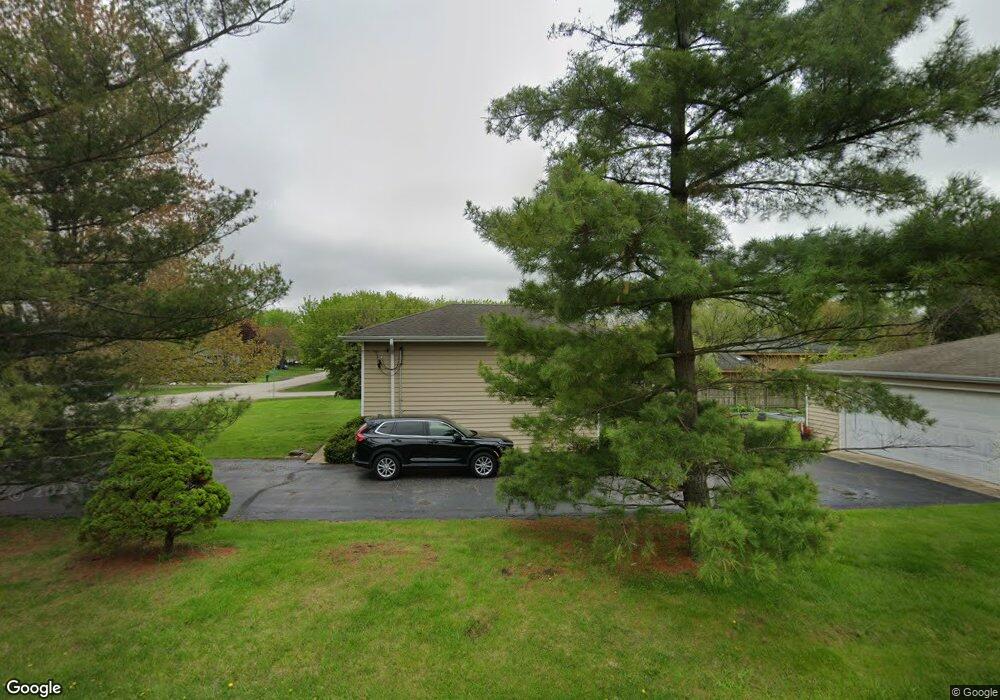
0N280 Prince Crossing Rd West Chicago, IL 60185
Chicago West NeighborhoodEstimated Value: $251,000 - $331,000
--
Bed
--
Bath
1,027
Sq Ft
$282/Sq Ft
Est. Value
About This Home
This home is located at 0N280 Prince Crossing Rd, West Chicago, IL 60185 and is currently estimated at $289,869, approximately $282 per square foot. 0N280 Prince Crossing Rd is a home located in DuPage County with nearby schools including Indian Knoll Elementary School, Leman Middle School, and West Chicago Community High School.
Ownership History
Date
Name
Owned For
Owner Type
Purchase Details
Closed on
Feb 9, 2024
Sold by
Romolt Christine M
Bought by
Christine M Romolt Trust and Romolt
Current Estimated Value
Purchase Details
Closed on
Jun 30, 2010
Sold by
Romolt Curtis J and Romolt Christine M
Bought by
Romolt Curtis J and Romolt Christine M
Home Financials for this Owner
Home Financials are based on the most recent Mortgage that was taken out on this home.
Original Mortgage
$139,200
Interest Rate
4.77%
Mortgage Type
New Conventional
Create a Home Valuation Report for This Property
The Home Valuation Report is an in-depth analysis detailing your home's value as well as a comparison with similar homes in the area
Home Values in the Area
Average Home Value in this Area
Purchase History
| Date | Buyer | Sale Price | Title Company |
|---|---|---|---|
| Christine M Romolt Trust | -- | None Listed On Document | |
| Romolt Curtis J | -- | None Available |
Source: Public Records
Mortgage History
| Date | Status | Borrower | Loan Amount |
|---|---|---|---|
| Previous Owner | Romolt Curtis J | $139,200 |
Source: Public Records
Tax History Compared to Growth
Tax History
| Year | Tax Paid | Tax Assessment Tax Assessment Total Assessment is a certain percentage of the fair market value that is determined by local assessors to be the total taxable value of land and additions on the property. | Land | Improvement |
|---|---|---|---|---|
| 2024 | $4,901 | $66,198 | $16,095 | $50,103 |
| 2023 | $4,609 | $60,460 | $14,700 | $45,760 |
| 2022 | $4,522 | $56,500 | $13,740 | $42,760 |
| 2021 | $4,352 | $54,160 | $13,170 | $40,990 |
| 2020 | $4,263 | $52,520 | $12,770 | $39,750 |
| 2019 | $4,132 | $50,010 | $12,160 | $37,850 |
| 2018 | $4,036 | $48,090 | $11,690 | $36,400 |
| 2017 | $3,922 | $45,700 | $11,110 | $34,590 |
| 2016 | $3,796 | $42,610 | $10,360 | $32,250 |
| 2015 | $3,690 | $39,440 | $9,590 | $29,850 |
| 2014 | $3,731 | $39,590 | $9,590 | $30,000 |
| 2013 | $3,792 | $41,040 | $9,940 | $31,100 |
Source: Public Records
Map
Nearby Homes
- N268 Calvin Ave
- 29W034 Lester St
- 28W659 Lester St
- 29W139 Barnes Ave
- 34 S Lake Dr
- 28W605 Barnes Ave
- 0N230 Easton Ave
- S639 Prince Crossing Rd
- 550 Main St Unit 215
- 821 Bishop St
- 247 N Neltnor Blvd Unit H1C
- 228 Chicago St
- 143 Conde St
- 1N175 Ridgeland Ave
- 433 Virgie Place
- 28W185 Geneva Rd
- 0N081 Forsythe Ct
- 28W068 Shelburne Farms Dr
- 0N062 Forsythe Ct
- 0N082 Forsythe Ct
- 29W014 Pomeroy St
- 0N281 Prince Crossing Rd
- 0N271 Prince Crossing Rd
- 0N271 Prince Crossing Rd
- 0N261 Prince Crossing Rd
- 29W041 Blair St
- 29W035 Pomeroy St
- 0N251 Prince Crossing Rd
- 0N236 Prince Crossing Rd
- 29W049 Pomeroy St
- 29W053 Blair St
- 0N268 Calvin Ave
- 0N235 Prince Crossing Rd
- 0N256 Calvin Ave
- 29W055 Pomeroy St
- 29W030 Donald Ave
- 0N349 Prince Crossing Rd
- 0N234 Calvin Ave
- 29W069 Blair St
- 29W046 Donald Ave