0N558 Pondview Ct Maple Park, IL 60151
Estimated Value: $404,000 - $466,000
3
Beds
3
Baths
2,107
Sq Ft
$205/Sq Ft
Est. Value
About This Home
This home is located at 0N558 Pondview Ct, Maple Park, IL 60151 and is currently estimated at $431,837, approximately $204 per square foot. 0N558 Pondview Ct is a home located in Kane County with nearby schools including Kaneland John Stewart Elementary School, Harter Middle School, and Kaneland Senior High School.
Ownership History
Date
Name
Owned For
Owner Type
Purchase Details
Closed on
Apr 7, 2006
Sold by
Smith Mark A and Smith Linda L
Bought by
Brown David L and Hammel Bonnie A
Current Estimated Value
Home Financials for this Owner
Home Financials are based on the most recent Mortgage that was taken out on this home.
Original Mortgage
$236,000
Interest Rate
6.34%
Mortgage Type
Fannie Mae Freddie Mac
Purchase Details
Closed on
Jul 23, 2004
Sold by
Willis Walter S and Willis Elizabeth M
Bought by
Smith Mark A and Smith Linda L
Home Financials for this Owner
Home Financials are based on the most recent Mortgage that was taken out on this home.
Original Mortgage
$215,500
Interest Rate
6.4%
Mortgage Type
Purchase Money Mortgage
Purchase Details
Closed on
Aug 27, 1996
Sold by
King Jay A and King Shari J
Bought by
Willis Walter S and Willis Elizabeth M
Home Financials for this Owner
Home Financials are based on the most recent Mortgage that was taken out on this home.
Original Mortgage
$138,400
Interest Rate
8.47%
Create a Home Valuation Report for This Property
The Home Valuation Report is an in-depth analysis detailing your home's value as well as a comparison with similar homes in the area
Home Values in the Area
Average Home Value in this Area
Purchase History
| Date | Buyer | Sale Price | Title Company |
|---|---|---|---|
| Brown David L | $316,000 | Chicago Title Insurance Comp | |
| Smith Mark A | $285,500 | American Title | |
| Willis Walter S | $173,000 | -- |
Source: Public Records
Mortgage History
| Date | Status | Borrower | Loan Amount |
|---|---|---|---|
| Closed | Brown David L | $236,000 | |
| Previous Owner | Smith Mark A | $215,500 | |
| Previous Owner | Willis Walter S | $138,400 |
Source: Public Records
Tax History Compared to Growth
Tax History
| Year | Tax Paid | Tax Assessment Tax Assessment Total Assessment is a certain percentage of the fair market value that is determined by local assessors to be the total taxable value of land and additions on the property. | Land | Improvement |
|---|---|---|---|---|
| 2024 | $8,807 | $117,808 | $26,129 | $91,679 |
| 2023 | $8,745 | $109,752 | $24,342 | $85,410 |
| 2022 | $8,353 | $100,635 | $22,320 | $78,315 |
| 2021 | $8,094 | $96,440 | $21,390 | $75,050 |
| 2020 | $7,885 | $93,116 | $20,653 | $72,463 |
| 2019 | $7,718 | $89,397 | $19,828 | $69,569 |
| 2018 | $7,208 | $81,485 | $18,073 | $63,412 |
| 2017 | $6,702 | $74,545 | $16,534 | $58,011 |
| 2016 | $6,238 | $67,904 | $15,061 | $52,843 |
| 2015 | -- | $63,403 | $14,063 | $49,340 |
| 2014 | -- | $63,403 | $14,063 | $49,340 |
| 2013 | -- | $68,366 | $15,164 | $53,202 |
Source: Public Records
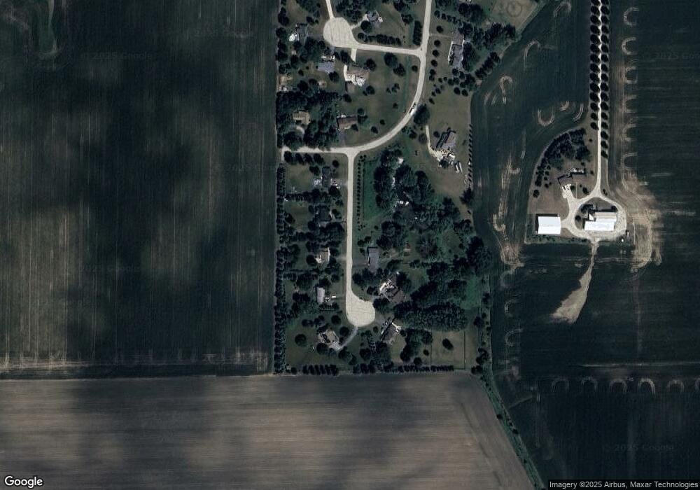
Map
Nearby Homes
- 48W201 Keslinger Rd
- 0N119 Dauberman Rd
- 804 Elm St
- 620 Elm St
- 2S114 Harter Rd
- 205 Center St
- 646 Ashton Dr
- 115 State St
- 2S234 Harter Rd
- 646 W Ashton Dr
- Lot 37 Houtz Cir
- Lot 84 Houtz Cir
- 18-acres Rt 47 - Hughes Rd
- 753 Ashton Dr
- 748 Ashton Dr
- 750 Ashton Dr
- 165 Schneider Rd
- 754 Ashton Dr
- 748 W Ashton Dr
- 750 W Ashton Dr
- 0N592 Pondview Ct
- 0N592 Pondview Ct
- N592 Pondview Ct
- 0N540 Pondview Ct
- 0N588 Pondview Ct
- 0N613 Pondview Ct
- 0N555 Pondview Ct
- 0N644 Pondview Ct
- 0N543 Pondview Ct
- 0N650 Pondview Ct
- 48W426 Country Life Dr
- 48W490 Country Life Dr
- 0N683 Country Life Dr
- 48W465 Farmview Ct
- 48W425 Farmview Ct
- 48W476 Farmview Ct
- 48W432 Farmview Ct
- 0N644 Shade Tree Ln
- 48W470 Farmview Ct
- 48W468 Farmview Ct