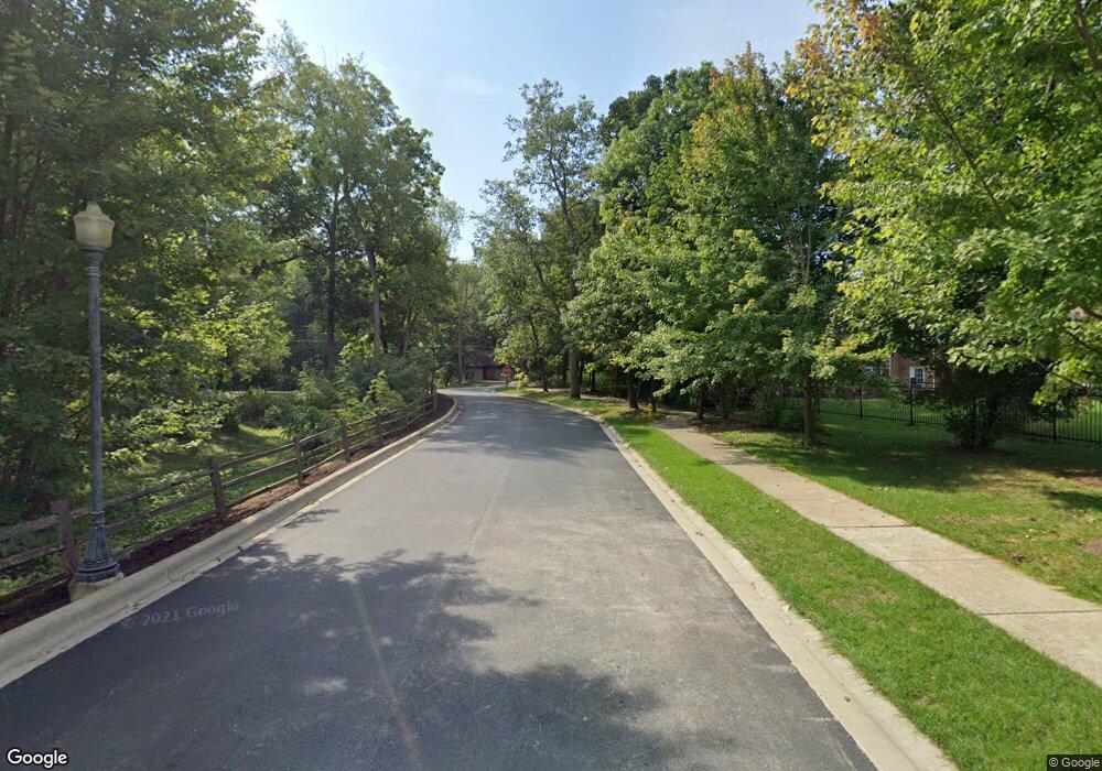
0S325 Starcliff Ct Winfield, IL 60190
Estimated Value: $969,000 - $1,148,000
5
Beds
5
Baths
4,200
Sq Ft
$248/Sq Ft
Est. Value
About This Home
This home is located at 0S325 Starcliff Ct, Winfield, IL 60190 and is currently estimated at $1,040,032, approximately $247 per square foot. 0S325 Starcliff Ct is a home located in DuPage County with nearby schools including Winfield Central School, Winfield Primary School, and West Chicago Community High School.
Ownership History
Date
Name
Owned For
Owner Type
Purchase Details
Closed on
Apr 28, 2016
Sold by
Parisi James E and Parisi Cathy A
Bought by
The James E Parisi Revocable Trust
Current Estimated Value
Purchase Details
Closed on
Nov 18, 2009
Sold by
West Suburban Bank
Bought by
Parisi James E and Parisi Cathy A
Home Financials for this Owner
Home Financials are based on the most recent Mortgage that was taken out on this home.
Original Mortgage
$417,000
Outstanding Balance
$271,587
Interest Rate
4.95%
Mortgage Type
New Conventional
Estimated Equity
$768,445
Purchase Details
Closed on
Feb 1, 2008
Sold by
Siefert & Sons Inc
Bought by
West Suburban Bank and Trust #13254
Create a Home Valuation Report for This Property
The Home Valuation Report is an in-depth analysis detailing your home's value as well as a comparison with similar homes in the area
Home Values in the Area
Average Home Value in this Area
Purchase History
| Date | Buyer | Sale Price | Title Company |
|---|---|---|---|
| The James E Parisi Revocable Trust | -- | Attorney | |
| Parisi James E | $980,000 | Git | |
| West Suburban Bank | $277,500 | None Available |
Source: Public Records
Mortgage History
| Date | Status | Borrower | Loan Amount |
|---|---|---|---|
| Open | Parisi James E | $417,000 |
Source: Public Records
Tax History Compared to Growth
Tax History
| Year | Tax Paid | Tax Assessment Tax Assessment Total Assessment is a certain percentage of the fair market value that is determined by local assessors to be the total taxable value of land and additions on the property. | Land | Improvement |
|---|---|---|---|---|
| 2024 | $23,532 | $321,507 | $72,001 | $249,506 |
| 2023 | $22,572 | $293,640 | $65,760 | $227,880 |
| 2022 | $21,154 | $274,440 | $61,470 | $212,970 |
| 2021 | $19,930 | $263,070 | $58,920 | $204,150 |
| 2020 | $19,603 | $255,080 | $57,130 | $197,950 |
| 2019 | $19,492 | $242,910 | $54,400 | $188,510 |
| 2018 | $19,840 | $242,920 | $54,410 | $188,510 |
| 2017 | $19,372 | $230,820 | $51,700 | $179,120 |
| 2016 | $18,898 | $215,210 | $48,200 | $167,010 |
| 2015 | $18,527 | $199,220 | $44,620 | $154,600 |
| 2014 | $17,160 | $180,450 | $30,860 | $149,590 |
| 2013 | $16,869 | $187,050 | $31,990 | $155,060 |
Source: Public Records
Map
Nearby Homes
- 27W773 Beecher Ave
- 3 Sunnyside Ave
- 27W423 Sunnyside Ave
- 0N069 Windermere Rd Unit 2301
- 0N200 Windermere Rd Unit 2702
- 28W061 Woodland Dr
- 0S760 Cleveland St
- 28W068 Shelburne Farms Dr
- 0S619 Forest Ave
- 27W705 Grasmere Dr Unit 1705
- 0S044 Lee Ct
- 0S650 Forest St
- 0N062 Forsythe Ct
- 27W327 Williams St
- 27W0S Roosevelt Rd
- Lot 17,18,19 Roosevelt Rd
- 0N082 Forsythe Ct
- 27W180 Cooley Ave
- 27W120 Williams St
- 28W605 Barnes Ave
- 0S341 Starcliff Ct
- 27W727 Brookside Dr
- 27W701 Brookside Dr
- 0S338 Starcliff Ct
- 27W745 Brookside Dr
- 27W685 Brookside Dr
- 0S354 Starcliff Ct Unit 2
- 0S354 Starcliff Ct
- 27W751 Brookside Dr
- 0S370 Starcliff Ct
- 27W671 Brookside Dr
- 0S318 Summit Dr
- 27W704 Brookside Dr
- 27W724 Brookside Dr
- s 344 Summit Dr
- S344 Summit Dr
- 27W690 Brookside Dr
- 0S344 Summit Dr
- 0S385 Starcliff Ct
- 27W645 Brookside Dr
