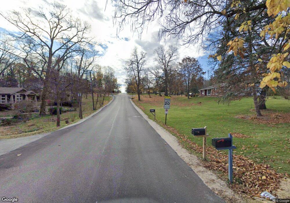
0S520 Summit Dr Winfield, IL 60190
Estimated Value: $493,000 - $646,000
--
Bed
--
Bath
1,944
Sq Ft
$285/Sq Ft
Est. Value
About This Home
This home is located at 0S520 Summit Dr, Winfield, IL 60190 and is currently estimated at $553,182, approximately $284 per square foot. 0S520 Summit Dr is a home with nearby schools including Winfield Central School, Winfield Primary School, and West Chicago Community High School.
Ownership History
Date
Name
Owned For
Owner Type
Purchase Details
Closed on
Apr 11, 2016
Sold by
Long Michael John
Bought by
Jfredri Llc
Current Estimated Value
Purchase Details
Closed on
May 27, 1994
Sold by
Long Robert H and Long Elaine M
Bought by
Long Robert H and Long Elaine M
Home Financials for this Owner
Home Financials are based on the most recent Mortgage that was taken out on this home.
Original Mortgage
$100,000
Interest Rate
8.66%
Mortgage Type
Purchase Money Mortgage
Create a Home Valuation Report for This Property
The Home Valuation Report is an in-depth analysis detailing your home's value as well as a comparison with similar homes in the area
Home Values in the Area
Average Home Value in this Area
Purchase History
| Date | Buyer | Sale Price | Title Company |
|---|---|---|---|
| Jfredri Llc | $320,000 | Citywide Title Corporation | |
| Long Robert H | -- | -- |
Source: Public Records
Mortgage History
| Date | Status | Borrower | Loan Amount |
|---|---|---|---|
| Previous Owner | Long Robert H | $100,000 |
Source: Public Records
Tax History Compared to Growth
Tax History
| Year | Tax Paid | Tax Assessment Tax Assessment Total Assessment is a certain percentage of the fair market value that is determined by local assessors to be the total taxable value of land and additions on the property. | Land | Improvement |
|---|---|---|---|---|
| 2024 | $11,490 | $153,078 | $49,982 | $103,096 |
| 2023 | $10,416 | $139,810 | $45,650 | $94,160 |
| 2022 | $9,805 | $130,420 | $42,660 | $87,760 |
| 2021 | $9,227 | $125,020 | $40,890 | $84,130 |
| 2020 | $9,069 | $121,230 | $39,650 | $81,580 |
| 2019 | $9,005 | $115,450 | $37,760 | $77,690 |
| 2018 | $9,167 | $115,470 | $37,780 | $77,690 |
| 2017 | $8,937 | $109,720 | $35,900 | $73,820 |
| 2016 | $8,247 | $102,300 | $33,470 | $68,830 |
| 2015 | $8,064 | $94,690 | $30,980 | $63,710 |
| 2014 | $7,829 | $90,180 | $29,500 | $60,680 |
| 2013 | $7,724 | $93,480 | $30,580 | $62,900 |
Source: Public Records
Map
Nearby Homes
- 0S760 Cleveland St
- 3 Sunnyside Ave
- 0S650 Forest St
- 27W423 Sunnyside Ave
- 27W0S Roosevelt Rd
- Lot 17,18,19 Roosevelt Rd
- 27W327 Williams St
- 27W773 Beecher Ave
- Lot #69 Winfield Rd
- 1S150 Cantigny Dr
- 27W120 Williams St
- 1S221 N Flanders Ln
- 0S044 Lee Ct
- 0S619 Forest Ave
- 0S732 Myrtle St
- 0N069 Windermere Rd Unit 2301
- 0N200 Windermere Rd Unit 2702
- 27W180 Cooley Ave
- 28W061 Woodland Dr
- 27W705 Grasmere Dr Unit 1705
- 0S506 Summit Dr
- 0S530 Summit Dr
- 0S490 Summit Dr
- 0S542 Summit Dr
- 0S509 Summit Dr
- 0S515 Summit Dr
- s 515 Summit Dr
- 0S525 Summit Dr
- 27W710 Garys Mill Rd
- 27W710 Garys Mill Rd
- 27w Garys Mill Rd
- 0S460 Summit Dr
- 0S568 Winfield Rd
- 0S540 Winfield Rd
- 0S530 Winfield Rd
- 0S520 Winfield Rd
- 27W646 Garys Mill Rd
- 0S444 Summit Dr
- 27W725 Washington Ave
- 0S322 Starcliff Ct
