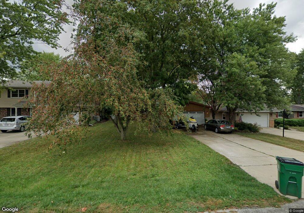
0S729 Grant St Winfield, IL 60190
Estimated Value: $382,000 - $452,000
--
Bed
--
Bath
1,626
Sq Ft
$258/Sq Ft
Est. Value
About This Home
This home is located at 0S729 Grant St, Winfield, IL 60190 and is currently estimated at $419,980, approximately $258 per square foot. 0S729 Grant St is a home located in DuPage County with nearby schools including Winfield Central School, Winfield Primary School, and West Chicago Community High School.
Ownership History
Date
Name
Owned For
Owner Type
Purchase Details
Closed on
Oct 21, 2011
Sold by
Knipp Barbara Ann and Rey Barbara A
Bought by
Rey Robert L
Current Estimated Value
Purchase Details
Closed on
Oct 7, 1996
Sold by
Mcardle James F and Mcardle Betty A
Bought by
Knipp Barbara Ann
Home Financials for this Owner
Home Financials are based on the most recent Mortgage that was taken out on this home.
Original Mortgage
$75,000
Outstanding Balance
$6,831
Interest Rate
8%
Mortgage Type
Purchase Money Mortgage
Estimated Equity
$413,149
Create a Home Valuation Report for This Property
The Home Valuation Report is an in-depth analysis detailing your home's value as well as a comparison with similar homes in the area
Home Values in the Area
Average Home Value in this Area
Purchase History
| Date | Buyer | Sale Price | Title Company |
|---|---|---|---|
| Rey Robert L | -- | First American Title Ins Co | |
| Knipp Barbara Ann | $148,000 | -- |
Source: Public Records
Mortgage History
| Date | Status | Borrower | Loan Amount |
|---|---|---|---|
| Open | Knipp Barbara Ann | $75,000 |
Source: Public Records
Tax History Compared to Growth
Tax History
| Year | Tax Paid | Tax Assessment Tax Assessment Total Assessment is a certain percentage of the fair market value that is determined by local assessors to be the total taxable value of land and additions on the property. | Land | Improvement |
|---|---|---|---|---|
| 2024 | $8,274 | $118,238 | $28,599 | $89,639 |
| 2023 | $7,902 | $107,990 | $26,120 | $81,870 |
| 2022 | $7,481 | $100,930 | $24,410 | $76,520 |
| 2021 | $7,036 | $96,750 | $23,400 | $73,350 |
| 2020 | $6,911 | $93,810 | $22,690 | $71,120 |
| 2019 | $6,857 | $89,340 | $21,610 | $67,730 |
| 2018 | $6,557 | $84,300 | $20,390 | $63,910 |
| 2017 | $6,385 | $80,100 | $19,370 | $60,730 |
| 2016 | $6,204 | $74,680 | $18,060 | $56,620 |
| 2015 | $6,083 | $69,130 | $16,720 | $52,410 |
| 2014 | $5,917 | $65,840 | $15,930 | $49,910 |
| 2013 | $5,830 | $68,250 | $16,510 | $51,740 |
Source: Public Records
Map
Nearby Homes
- 27W0S Roosevelt Rd
- Lot 17,18,19 Roosevelt Rd
- 0S760 Cleveland St
- 0S650 Forest St
- 27W327 Williams St
- 27W120 Williams St
- 0S732 Myrtle St
- 3 Sunnyside Ave
- 27W423 Sunnyside Ave
- 1s050 Shaffner Rd
- 1S221 N Flanders Ln
- 27W773 Beecher Ave
- 27W020 Walz Way
- 0S044 Lee Ct
- 27W180 Cooley Ave
- 2152 Belleau Woods Dr
- 1S710 Shaffner Rd
- 1S728 Shaffner Rd
- 0S619 Forest Ave
- 1310 Yorkshire Woods Ct
- 0S745 Grant St
- 0S725 Grant St
- 0S715 Grant St
- 0S751 Grant St
- 0S746 Garfield St
- 0S732 Garfield St
- 0S758 Garfield St
- 0S757 Grant St
- 0S728 Grant St
- 0S738 Grant St
- 0S713 Grant St
- 0S718 Grant St
- 0S748 Grant St
- S758 Grant St
- 0S708 Garfield St
- 0S770 Garfield St
- 0S706 Grant St
- s 706 Grant St
- S706 Grant St
- s 758 Grant St