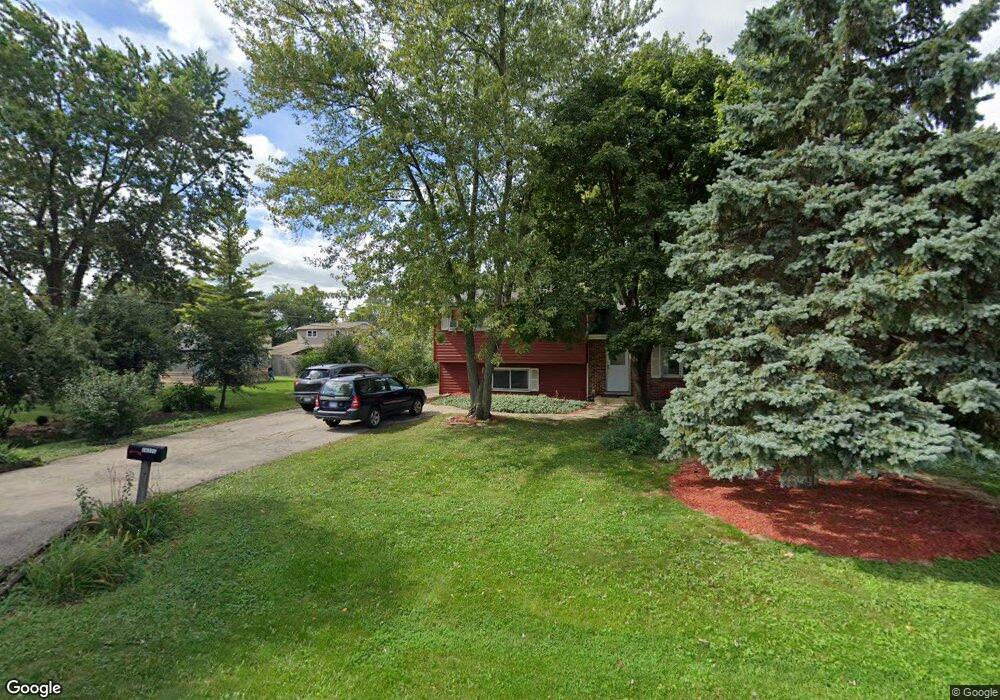
0S751 Myrtle St Winfield, IL 60190
Estimated Value: $270,000 - $323,000
--
Bed
--
Bath
900
Sq Ft
$330/Sq Ft
Est. Value
About This Home
This home is located at 0S751 Myrtle St, Winfield, IL 60190 and is currently estimated at $296,662, approximately $329 per square foot. 0S751 Myrtle St is a home located in DuPage County with nearby schools including Winfield Central School, Winfield Primary School, and West Chicago Community High School.
Ownership History
Date
Name
Owned For
Owner Type
Purchase Details
Closed on
Jul 26, 1996
Sold by
Dreher Patricia M
Bought by
Coco Anthony S and Coco Justine M
Current Estimated Value
Home Financials for this Owner
Home Financials are based on the most recent Mortgage that was taken out on this home.
Original Mortgage
$112,500
Outstanding Balance
$8,988
Interest Rate
8.33%
Mortgage Type
Purchase Money Mortgage
Estimated Equity
$287,674
Create a Home Valuation Report for This Property
The Home Valuation Report is an in-depth analysis detailing your home's value as well as a comparison with similar homes in the area
Home Values in the Area
Average Home Value in this Area
Purchase History
| Date | Buyer | Sale Price | Title Company |
|---|---|---|---|
| Coco Anthony S | $125,000 | Chicago Title Insurance Co |
Source: Public Records
Mortgage History
| Date | Status | Borrower | Loan Amount |
|---|---|---|---|
| Open | Coco Anthony S | $112,500 |
Source: Public Records
Tax History Compared to Growth
Tax History
| Year | Tax Paid | Tax Assessment Tax Assessment Total Assessment is a certain percentage of the fair market value that is determined by local assessors to be the total taxable value of land and additions on the property. | Land | Improvement |
|---|---|---|---|---|
| 2024 | $5,751 | $84,614 | $22,435 | $62,179 |
| 2023 | $5,475 | $77,280 | $20,490 | $56,790 |
| 2022 | $5,218 | $72,220 | $19,150 | $53,070 |
| 2021 | $4,902 | $69,230 | $18,360 | $50,870 |
| 2020 | $4,811 | $67,130 | $17,800 | $49,330 |
| 2019 | $4,766 | $63,930 | $16,950 | $46,980 |
| 2018 | $4,550 | $60,330 | $16,000 | $44,330 |
| 2017 | $4,422 | $57,320 | $15,200 | $42,120 |
| 2016 | $4,285 | $53,440 | $14,170 | $39,270 |
| 2015 | $4,188 | $49,470 | $13,120 | $36,350 |
| 2014 | $4,065 | $47,110 | $12,490 | $34,620 |
| 2013 | $4,012 | $48,840 | $12,950 | $35,890 |
Source: Public Records
Map
Nearby Homes
- 0S732 Myrtle St
- 27W120 Williams St
- 1s050 Shaffner Rd
- 27W327 Williams St
- 0S650 Forest St
- 27W0S Roosevelt Rd
- Lot 17,18,19 Roosevelt Rd
- 0S760 Cleveland St
- 2059 W Roosevelt Rd
- 1310 Yorkshire Woods Ct
- 27W020 Walz Way
- 1440 Stonebridge Cir Unit J10
- 1S710 Shaffner Rd
- 1S728 Shaffner Rd
- 27W423 Sunnyside Ave
- 1477 S County Farm Rd Unit 23F
- 3 Sunnyside Ave
- 1745 Ennis Ln Unit 89A
- 1040 Creekside Dr Unit 414
- 27W180 Cooley Ave
- 0S761 Myrtle St
- 0S747 Myrtle St
- 0S741 Myrtle St
- 27W054 Roosevelt Rd
- 0S777 Myrtle St
- 0S735 Myrtle St
- 0S752 Myrtle St
- 0S748 Myrtle St
- 0S760 Myrtle St
- s 760 Myrtle St
- 27W090 Roosevelt Rd
- 0S724 Myrtle St
- 27W130 Roosevelt Rd Unit 1B
- 27W130 Roosevelt Rd Unit LL2
- 27W130 Roosevelt Rd Unit 101
- 27W130 Roosevelt Rd Unit 110
- 27W130 Roosevelt Rd
- 27W130 Roosevelt Rd Unit 201
- 0S718 Myrtle St
- 0S747 East St