1-1 Mendham Rd Bernardsville, NJ 07924
Estimated Value: $1,136,627 - $1,273,000
--
Bed
--
Bath
2,814
Sq Ft
$428/Sq Ft
Est. Value
About This Home
This home is located at 1-1 Mendham Rd, Bernardsville, NJ 07924 and is currently estimated at $1,203,907, approximately $427 per square foot. 1-1 Mendham Rd is a home located in Somerset County with nearby schools including Bernardsville Middle School, Bernards High School, and The School of Saint Elizabeth.
Ownership History
Date
Name
Owned For
Owner Type
Purchase Details
Closed on
Jun 6, 2025
Sold by
Maddaluna Jeffrey W and Maddaluna Deborah Lisa
Bought by
Zeidler Benjamin and Oconnor Katherine D
Current Estimated Value
Purchase Details
Closed on
Sep 26, 2019
Sold by
Carpenter Ann and Kurtz Ann
Bought by
Zeidler Benjamin and Oconnor Katherine D
Home Financials for this Owner
Home Financials are based on the most recent Mortgage that was taken out on this home.
Original Mortgage
$625,500
Interest Rate
3.5%
Mortgage Type
New Conventional
Purchase Details
Closed on
Dec 8, 2017
Sold by
Ginatte Joseph A and Ginatte Laureen
Bought by
Ginarte Lauen and Ginarte Deric
Purchase Details
Closed on
Sep 13, 2016
Sold by
Goulburn Ann C and Kurtz Ann
Bought by
Kurtz Ann
Home Financials for this Owner
Home Financials are based on the most recent Mortgage that was taken out on this home.
Original Mortgage
$510,000
Interest Rate
3.5%
Mortgage Type
Adjustable Rate Mortgage/ARM
Purchase Details
Closed on
May 12, 2011
Sold by
Walsh Gerard F and Walsh Risa K
Bought by
Goulburn Ann C
Home Financials for this Owner
Home Financials are based on the most recent Mortgage that was taken out on this home.
Original Mortgage
$548,500
Interest Rate
4.88%
Mortgage Type
New Conventional
Purchase Details
Closed on
Jan 28, 1998
Sold by
Walsh Gerald F and Walsh Risa K
Bought by
Walsh Gerard F and Walsh Risa K
Home Financials for this Owner
Home Financials are based on the most recent Mortgage that was taken out on this home.
Original Mortgage
$412,000
Interest Rate
5.43%
Mortgage Type
New Conventional
Purchase Details
Closed on
Jan 20, 1998
Sold by
Petrozzo Gertrude S
Bought by
Walsh Gerald F and Walsh Risa K
Home Financials for this Owner
Home Financials are based on the most recent Mortgage that was taken out on this home.
Original Mortgage
$412,000
Interest Rate
5.43%
Mortgage Type
New Conventional
Create a Home Valuation Report for This Property
The Home Valuation Report is an in-depth analysis detailing your home's value as well as a comparison with similar homes in the area
Home Values in the Area
Average Home Value in this Area
Purchase History
| Date | Buyer | Sale Price | Title Company |
|---|---|---|---|
| Zeidler Benjamin | $61,500 | None Listed On Document | |
| Zeidler Benjamin | $61,500 | None Listed On Document | |
| Zeidler Benjamin | $781,875 | Westcor Land Title Isn Co | |
| Ginarte Lauen | -- | None Available | |
| Kurtz Ann | -- | None Available | |
| Goulburn Ann C | $748,500 | Chicago Title Insurance Co | |
| Walsh Gerard F | -- | Park Avenue Title Agency Llc | |
| Walsh Gerald F | $360,000 | -- |
Source: Public Records
Mortgage History
| Date | Status | Borrower | Loan Amount |
|---|---|---|---|
| Previous Owner | Zeidler Benjamin | $625,500 | |
| Previous Owner | Kurtz Ann | $510,000 | |
| Previous Owner | Goulburn Ann C | $548,500 | |
| Previous Owner | Walsh Gerard F | $412,000 | |
| Previous Owner | Walsh Gerald F | $296,000 |
Source: Public Records
Tax History Compared to Growth
Tax History
| Year | Tax Paid | Tax Assessment Tax Assessment Total Assessment is a certain percentage of the fair market value that is determined by local assessors to be the total taxable value of land and additions on the property. | Land | Improvement |
|---|---|---|---|---|
| 2025 | $17,546 | $967,200 | $249,200 | $718,000 |
| 2024 | $17,546 | $897,500 | $228,600 | $668,900 |
| 2023 | $17,097 | $851,000 | $217,700 | $633,300 |
| 2022 | $16,919 | $822,900 | $209,300 | $613,600 |
| 2021 | $16,664 | $794,300 | $205,200 | $589,100 |
| 2020 | $16,365 | $777,800 | $205,200 | $572,600 |
| 2019 | $15,894 | $779,900 | $196,200 | $583,700 |
| 2018 | $15,442 | $775,600 | $196,200 | $579,400 |
| 2017 | $14,838 | $770,000 | $187,200 | $582,800 |
| 2016 | $14,366 | $765,800 | $187,200 | $578,600 |
| 2015 | $13,987 | $761,400 | $187,200 | $574,200 |
| 2014 | $12,915 | $706,100 | $196,200 | $509,900 |
Source: Public Records
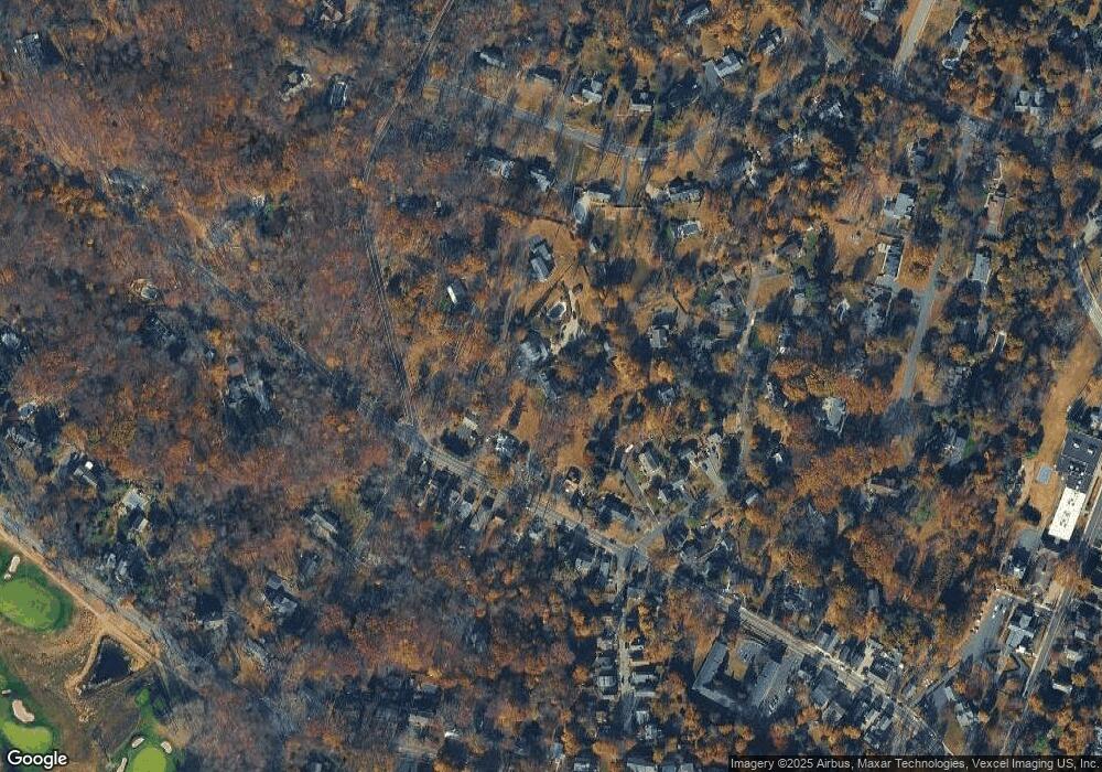
Map
Nearby Homes
- 22 Orchard Hill Rd
- 58 Seney Dr
- 80 Claremont Rd Unit 802
- 80 Claremont Rd Unit 206
- 41 Anderson Hill Rd
- 26 Anderson Hill Rd
- 20 Anderson Hill Rd
- 15 Highview Ave
- 71 Crest Dr
- 34 Spruce Place
- 3 Rose Hill
- 331-1 Mendham Rd
- 16 Dayton Crescent
- 149 Overleigh Rd
- 10 Tysley St
- 91 Post Ln
- 303 Mendham Rd
- 101 Rippling Brook Way
- 450 Claremont Rd
- 71 Mount Harmony Rd
- 1-2 Mendham Rd
- 163 Claremont Rd
- 43 Orchard Hill Rd
- 4-2 Mcwilliams Terrace
- 4 Mcwilliams Terrace
- 159 Claremont Rd
- 167 Claremont Rd
- 2 Orchard Hill Rd
- 1 Mendham Rd
- 4-1 Orchard Hill Rd
- 1-3 Mendham Rd
- 28 Orchard Hill Rd
- 155 Claremont Rd
- 15 Mendham Rd
- 166 Claremont Rd
- 26 Orchard Hill Rd
- 168 Claremont Rd
- 164 Claremont Rd
- 164 Claremont Rd Unit 3
- 164 Claremont Rd Unit 2