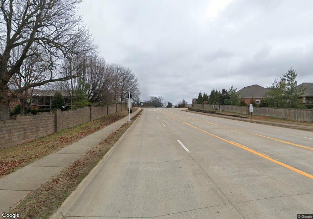
1.12 Acres W Pleasant Grove Rd Rogers, AR 72758
Estimated Value: $142,000 - $592,000
--
Bed
--
Bath
--
Sq Ft
1.12
Acres
About This Home
This home is located at 1.12 Acres W Pleasant Grove Rd, Rogers, AR 72758 and is currently estimated at $349,667. 1.12 Acres W Pleasant Grove Rd is a home located in Benton County with nearby schools including Bellview Elementary School, Kirksey Middle School, and Rogers High School.
Ownership History
Date
Name
Owned For
Owner Type
Purchase Details
Closed on
Mar 26, 2004
Bought by
Lowell Prop
Current Estimated Value
Purchase Details
Closed on
Mar 8, 2004
Bought by
Lowell Prop
Purchase Details
Closed on
Jun 13, 2002
Bought by
Torabi Torabi 2 and Torabi 83Ac
Purchase Details
Closed on
Apr 26, 2002
Bought by
Marchant Marchant W and Marchant 49Ac
Purchase Details
Closed on
Nov 6, 1998
Bought by
Marchant Marchant W and Marchant 13Ac
Purchase Details
Closed on
Jul 24, 1998
Bought by
Marchant Tr
Purchase Details
Closed on
Apr 3, 1998
Bought by
Marchant Stephen M Dod 2-7-98
Purchase Details
Closed on
Apr 25, 1996
Bought by
Reaves 2Pcls
Purchase Details
Closed on
Jan 13, 1994
Bought by
Marchant 4 Ac
Purchase Details
Closed on
Oct 6, 1993
Bought by
Marchant
Create a Home Valuation Report for This Property
The Home Valuation Report is an in-depth analysis detailing your home's value as well as a comparison with similar homes in the area
Home Values in the Area
Average Home Value in this Area
Purchase History
| Date | Buyer | Sale Price | Title Company |
|---|---|---|---|
| Lowell Prop | -- | -- | |
| Lowell Prop | -- | -- | |
| Torabi Torabi 2 | $173,000 | -- | |
| Marchant Marchant W | -- | -- | |
| Marchant Marchant W | -- | -- | |
| Marchant Tr | -- | -- | |
| Re Marchant Trust | -- | -- | |
| Marchant Stephen M Dod 2-7-98 | -- | -- | |
| Reaves 2Pcls | $22,000 | -- | |
| Marchant 4 Ac | -- | -- | |
| Marchant | $14,000 | -- |
Source: Public Records
Tax History Compared to Growth
Tax History
| Year | Tax Paid | Tax Assessment Tax Assessment Total Assessment is a certain percentage of the fair market value that is determined by local assessors to be the total taxable value of land and additions on the property. | Land | Improvement |
|---|---|---|---|---|
| 2024 | $775 | $27,750 | $27,750 | $0 |
| 2023 | $705 | $13,320 | $13,320 | $0 |
| 2022 | $477 | $13,320 | $13,320 | $0 |
| 2021 | $437 | $13,440 | $13,440 | $0 |
| 2020 | $397 | $14,780 | $14,780 | $0 |
| 2019 | $372 | $14,780 | $14,780 | $0 |
| 2018 | $347 | $16,760 | $16,760 | $0 |
| 2017 | $280 | $17,060 | $16,760 | $300 |
| 2016 | $280 | $17,060 | $16,760 | $300 |
| 2015 | $245 | $4,640 | $4,640 | $0 |
| 2014 | $245 | $5,000 | $5,000 | $0 |
Source: Public Records
Map
Nearby Homes
- 79 AC W Pleasant Grove Rd
- 2.92 AC W Pleasant Grove Rd
- 11.3 AC W Pleasant Grove Rd
- 19.2 AC W Pleasant Grove Rd
- 5305 S 44th Place
- 4412 W Arlington Dr
- 4409 W Hillside Dr
- 4414 Hillside Dr
- 5537 S Bellview Rd
- 4202 Quelinda Dr
- 3605 W Legacy Ln
- 4005 Lyndale Dr
- 1.45AC W Pleasant Grove Rd
- 5805 S 41st St
- 4509 Creekview Dr
- 5308 Whispering Meadows Ln
- 4401 W Canopy Meadows Dr
- 4625 S 47th St
- 4601 S 47th St
- 4619 S 47th St
- 1.93 Acres W Pleasant Grove Rd
- 2.06 Acres W Pleasant Grove Rd
- 4360 W Pleasant Grove Rd
- 0.94 Acres W Pleasant Grove Rd
- 4301 Worthington Dr
- 4353 W Pleasant Grove Rd
- 4303 W Worthington Dr
- 4303 W Worthington Dr Unit Rental
- 4205 Worthington Dr
- 4305 Worthington Dr
- 4347 W Pleasant Grove Rd
- 4203 Worthington Dr
- 4331 W Pleasant Grove Rd
- 5212 S 43rd St
- 4361 W Pleasant Grove Rd
- 4307 Worthington Dr
- 4307 W Worthington Dr