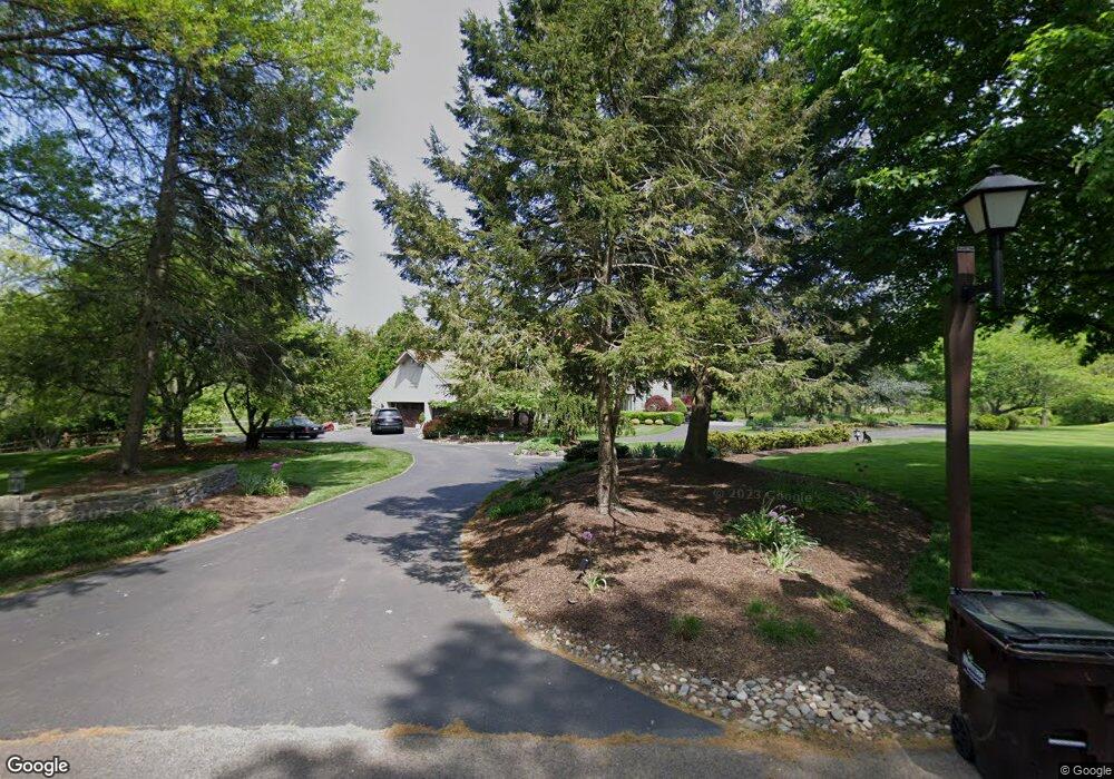
1 3 Ponds Ln Newtown, PA 18940
Estimated Value: $1,676,000 - $2,238,000
4
Beds
5
Baths
5,388
Sq Ft
$354/Sq Ft
Est. Value
About This Home
This home is located at 1 3 Ponds Ln, Newtown, PA 18940 and is currently estimated at $1,908,857, approximately $354 per square foot. 1 3 Ponds Ln is a home located in Bucks County with nearby schools including Sol Feinstone Elementary School, Newtown Middle School, and Council Rock High School North.
Ownership History
Date
Name
Owned For
Owner Type
Purchase Details
Closed on
Jun 8, 2022
Sold by
Mistri Deirdre J
Bought by
Deirdre Johnson Trust and Mistri
Current Estimated Value
Purchase Details
Closed on
Dec 18, 2015
Sold by
Dalinka Rodd A and Dalinka Stacy
Bought by
Mistri Deirdre J
Home Financials for this Owner
Home Financials are based on the most recent Mortgage that was taken out on this home.
Original Mortgage
$707,200
Interest Rate
3.99%
Mortgage Type
New Conventional
Purchase Details
Closed on
Nov 8, 1995
Sold by
Passanante A John and Passanante Anne Marie
Bought by
Dalinka Rodd A and Dalinka Stacy
Home Financials for this Owner
Home Financials are based on the most recent Mortgage that was taken out on this home.
Original Mortgage
$250,000
Interest Rate
6.75%
Purchase Details
Closed on
Oct 11, 1983
Bought by
Anne Passanante A and Anne Marie
Create a Home Valuation Report for This Property
The Home Valuation Report is an in-depth analysis detailing your home's value as well as a comparison with similar homes in the area
Home Values in the Area
Average Home Value in this Area
Purchase History
| Date | Buyer | Sale Price | Title Company |
|---|---|---|---|
| Deirdre Johnson Trust | -- | Taylor Yvette E | |
| Mistri Deirdre J | $884,000 | None Available | |
| Dalinka Rodd A | -- | -- | |
| Anne Passanante A | $75,000 | -- |
Source: Public Records
Mortgage History
| Date | Status | Borrower | Loan Amount |
|---|---|---|---|
| Previous Owner | Mistri Deirdre J | $707,200 | |
| Previous Owner | Dalinka Rodd A | $250,000 |
Source: Public Records
Tax History Compared to Growth
Tax History
| Year | Tax Paid | Tax Assessment Tax Assessment Total Assessment is a certain percentage of the fair market value that is determined by local assessors to be the total taxable value of land and additions on the property. | Land | Improvement |
|---|---|---|---|---|
| 2025 | $16,733 | $97,820 | $14,560 | $83,260 |
| 2024 | $16,733 | $97,820 | $14,560 | $83,260 |
| 2023 | $16,274 | $97,820 | $14,560 | $83,260 |
| 2022 | $16,190 | $97,820 | $14,560 | $83,260 |
| 2021 | $15,971 | $97,820 | $14,560 | $83,260 |
| 2020 | $15,588 | $97,820 | $14,560 | $83,260 |
| 2019 | $15,227 | $97,820 | $14,560 | $83,260 |
| 2018 | $14,943 | $97,820 | $14,560 | $83,260 |
| 2017 | $16,084 | $108,260 | $14,560 | $93,700 |
| 2016 | $16,328 | $108,260 | $14,560 | $93,700 |
| 2015 | -- | $108,260 | $14,560 | $93,700 |
| 2014 | -- | $108,260 | $14,560 | $93,700 |
Source: Public Records
Map
Nearby Homes
- 1089 Eagle Rd
- 8 Keith Ln
- 108 Beaumont Dr
- 509 Wheatfield Ln
- 3 Tines Field Path
- 19 Goldney Dr
- 457 Brownsburg Rd Unit W
- 439 Brownsburg Rd Unit W
- 1659 Wrightstown Rd
- 2034 Woodland Rd
- 52 Woodside Ln
- 55 Woodside Ln
- 42 Woodside Ln
- 347 Lurgan Rd
- 321 Lurgan Rd
- Lot 4 Ava Ct
- 10 Lenape Dr
- 12 Old Cabin Rd
- 14 Old Cabin Rd
- 0 Lot 4 Buckmanville Rd Unit PABU2029690