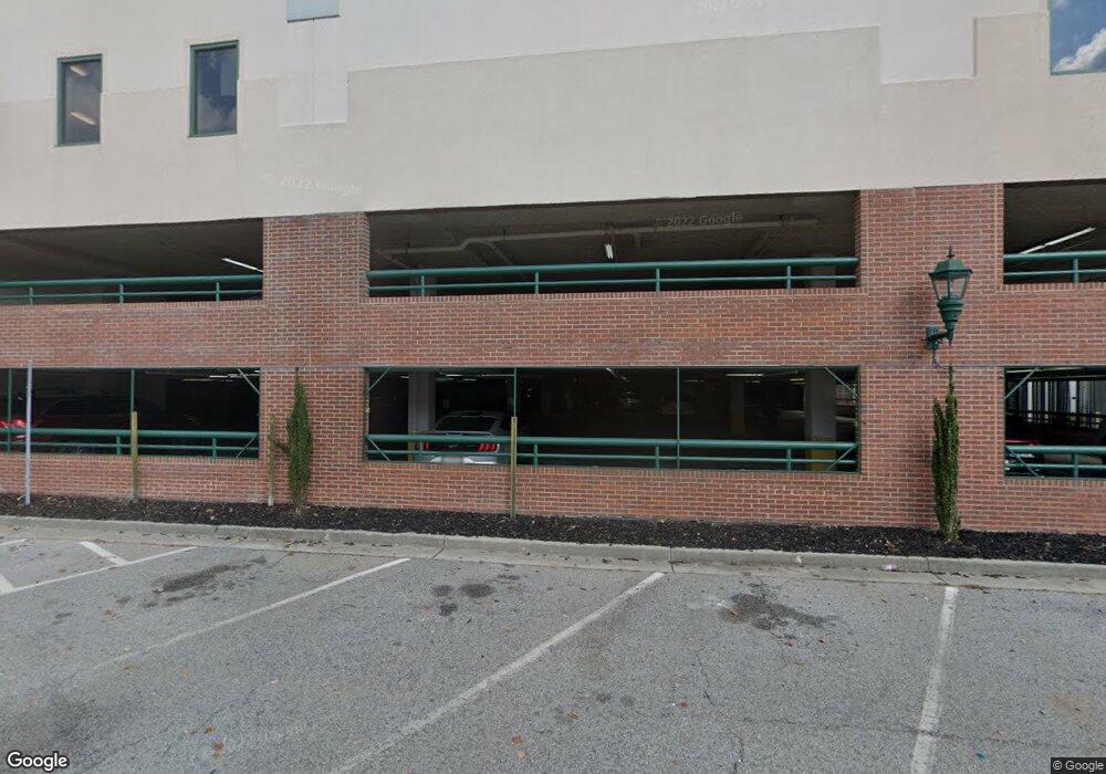
1 7th St Unit 1602 Augusta, GA 30901
Downtown Augusta NeighborhoodEstimated Value: $331,000 - $350,000
3
Beds
3
Baths
2,855
Sq Ft
$120/Sq Ft
Est. Value
About This Home
This home is located at 1 7th St Unit 1602, Augusta, GA 30901 and is currently estimated at $342,216, approximately $119 per square foot. 1 7th St Unit 1602 is a home located in Richmond County with nearby schools including Lamar Elementary School, W.S. Hornsby Elementary School, and Johnson Magnet.
Ownership History
Date
Name
Owned For
Owner Type
Purchase Details
Closed on
Apr 10, 2000
Sold by
Smith Jean R
Bought by
Shaw J Nicholas
Current Estimated Value
Home Financials for this Owner
Home Financials are based on the most recent Mortgage that was taken out on this home.
Original Mortgage
$265,133
Interest Rate
8.29%
Purchase Details
Closed on
Apr 27, 1998
Sold by
A Schnuck Lloyd B and Schnuck Barb
Bought by
Smith Jean R
Purchase Details
Closed on
Sep 26, 1994
Sold by
Shadybrook Shadybrook and Shadybrook Apartmen
Bought by
Schnuck Lloyd B
Create a Home Valuation Report for This Property
The Home Valuation Report is an in-depth analysis detailing your home's value as well as a comparison with similar homes in the area
Home Values in the Area
Average Home Value in this Area
Purchase History
| Date | Buyer | Sale Price | Title Company |
|---|---|---|---|
| Shaw J Nicholas | $265,000 | -- | |
| Smith Jean R | $272,000 | -- | |
| Schnuck Lloyd B | $297,000 | -- |
Source: Public Records
Mortgage History
| Date | Status | Borrower | Loan Amount |
|---|---|---|---|
| Closed | Shaw J Nicholas | $265,133 |
Source: Public Records
Tax History Compared to Growth
Tax History
| Year | Tax Paid | Tax Assessment Tax Assessment Total Assessment is a certain percentage of the fair market value that is determined by local assessors to be the total taxable value of land and additions on the property. | Land | Improvement |
|---|---|---|---|---|
| 2025 | $1,772 | $178,028 | $52,606 | $125,422 |
| 2024 | $1,772 | $174,054 | $52,606 | $121,448 |
| 2023 | $1,778 | $173,456 | $52,606 | $120,850 |
| 2022 | $2,044 | $163,059 | $52,606 | $110,453 |
| 2021 | $1,999 | $143,219 | $52,606 | $90,613 |
| 2020 | $2,020 | $143,219 | $52,606 | $90,613 |
| 2019 | $2,013 | $133,926 | $52,606 | $81,320 |
| 2018 | $2,033 | $133,926 | $52,606 | $81,320 |
| 2017 | $2,036 | $133,926 | $52,606 | $81,320 |
| 2016 | $2,036 | $133,926 | $52,606 | $81,320 |
| 2015 | $2,035 | $133,926 | $52,606 | $81,320 |
| 2014 | $2,344 | $133,926 | $52,606 | $81,320 |
Source: Public Records
Map
Nearby Homes
- 1 7th St Unit 1202
- 1 7th St Unit 1602
- 1 7th St Unit STE 1105
- 1 7th St Unit 805
- 1203 Belgrove Dr
- 137 Riverclub Ln
- 936 Broad St Unit 416
- 936 Broad St Unit 211
- 936 Broad St Unit 214
- 444 Greene St
- 510 Walker St
- 313 Ellis St
- 305 Walker St
- 509 Walton Way
- Na Burnside Ave
- 206 Reynolds St
- 218 Broad St
- 347 Landing Dr
- 228 Greene St