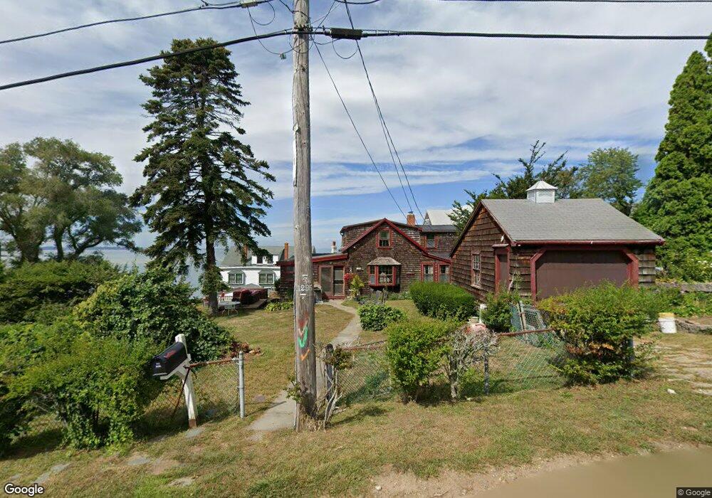
1 Adams Ave Unit 1 Gloucester, MA 01930
Annisquam NeighborhoodEstimated Value: $1,155,000 - $1,803,000
2
Beds
2
Baths
1,500
Sq Ft
$1,044/Sq Ft
Est. Value
About This Home
This home is located at 1 Adams Ave Unit 1, Gloucester, MA 01930 and is currently estimated at $1,565,349, approximately $1,043 per square foot. 1 Adams Ave Unit 1 is a home located in Essex County with nearby schools including Plum Cove School, Ralph B O'maley Middle School, and Gloucester High School.
Ownership History
Date
Name
Owned For
Owner Type
Purchase Details
Closed on
Oct 16, 1998
Sold by
Andrew Eben Sunmer and Andrew-Betts Anne
Bought by
Williamson George C and Williamson Molly A
Current Estimated Value
Home Financials for this Owner
Home Financials are based on the most recent Mortgage that was taken out on this home.
Original Mortgage
$120,000
Interest Rate
6.8%
Mortgage Type
Purchase Money Mortgage
Create a Home Valuation Report for This Property
The Home Valuation Report is an in-depth analysis detailing your home's value as well as a comparison with similar homes in the area
Home Values in the Area
Average Home Value in this Area
Purchase History
| Date | Buyer | Sale Price | Title Company |
|---|---|---|---|
| Williamson George C | $330,000 | -- | |
| Williamson George C | $330,000 | -- |
Source: Public Records
Mortgage History
| Date | Status | Borrower | Loan Amount |
|---|---|---|---|
| Open | Williamson George C | $111,000 | |
| Closed | Williamson George C | $110,000 | |
| Closed | Williamson George C | $120,000 |
Source: Public Records
Tax History Compared to Growth
Tax History
| Year | Tax Paid | Tax Assessment Tax Assessment Total Assessment is a certain percentage of the fair market value that is determined by local assessors to be the total taxable value of land and additions on the property. | Land | Improvement |
|---|---|---|---|---|
| 2025 | $14,841 | $1,526,900 | $1,059,300 | $467,600 |
| 2024 | $14,361 | $1,475,900 | $1,008,300 | $467,600 |
| 2023 | $13,455 | $1,270,500 | $860,800 | $409,700 |
| 2022 | $13,005 | $1,108,700 | $748,700 | $360,000 |
| 2021 | $12,551 | $1,008,900 | $680,300 | $328,600 |
| 2020 | $12,432 | $1,008,300 | $680,300 | $328,000 |
| 2019 | $11,963 | $942,700 | $648,600 | $294,100 |
| 2018 | $11,680 | $903,300 | $632,800 | $270,500 |
| 2017 | $11,342 | $859,900 | $602,800 | $257,100 |
| 2016 | $10,997 | $808,000 | $576,600 | $231,400 |
| 2015 | $10,618 | $777,900 | $563,500 | $214,400 |
Source: Public Records
Map
Nearby Homes
- 672 Washington St
- 226 Atlantic St
- 188 Atlantic St
- 109 Riverview Rd
- 43 High St Unit B
- 65 Poplar St
- 19 Mystic Ave
- 78 Grove St
- 26 Coggeshall Rd
- 16 Cleveland Place Unit 11
- 196 Washington St
- 40 Sargent St
- 27 Hodgkins Rd
- 15 Harvard St
- 119 Pleasant St
- 33 Maplewood Ave Unit 21
- 15 Granite St
- 18 Granite St
- 29 Harrison Ave
- 20 Railroad Ave
- 1 Adams Ave
- 3 Adams Ave
- 2 Cambridge Ave
- 2 Cambridge Ave
- 2 Cambridge Ave Unit 2
- 11 Cambridge Ave
- 3 Planters Neck Rd
- 2 Adams Ave
- 5 Cambridge Ave
- 16 Cambridge Ave
- 16 Cambridge Ave Unit 1
- 12 Cambridge Ave
- 8 Planters Neck Rd
- 6 Planters Neck Rd
- 4 Planters Neck Rd
- 9 Planters Neck Rd
- 8 Cambridge Ave
- 12 Planters Neck Rd
- 3 Cambridge Ave
- 52 Adams Hill Rd