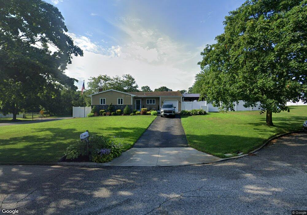
1 Alfred Cir Holtsville, NY 11742
Estimated Value: $644,000 - $672,000
3
Beds
2
Baths
1,524
Sq Ft
$431/Sq Ft
Est. Value
About This Home
This home is located at 1 Alfred Cir, Holtsville, NY 11742 and is currently estimated at $656,142, approximately $430 per square foot. 1 Alfred Cir is a home located in Suffolk County with nearby schools including Waverly Elementary School, Sachem High School East, and Long Island Baptist Academy.
Ownership History
Date
Name
Owned For
Owner Type
Purchase Details
Closed on
Nov 2, 2018
Sold by
Laureano Iladen and Laureano Catherine
Bought by
Affe Joseph
Current Estimated Value
Home Financials for this Owner
Home Financials are based on the most recent Mortgage that was taken out on this home.
Original Mortgage
$340,000
Outstanding Balance
$292,747
Interest Rate
4.7%
Mortgage Type
New Conventional
Estimated Equity
$363,395
Purchase Details
Closed on
Oct 13, 1995
Sold by
Laureano Iladen and Laureano Vania
Bought by
Laureano Ii Iladen and Laureano Catherine
Create a Home Valuation Report for This Property
The Home Valuation Report is an in-depth analysis detailing your home's value as well as a comparison with similar homes in the area
Home Values in the Area
Average Home Value in this Area
Purchase History
| Date | Buyer | Sale Price | Title Company |
|---|---|---|---|
| Affe Joseph | $425,000 | -- | |
| Laureano Ii Iladen | $140,000 | Commonwealth Land Title Ins |
Source: Public Records
Mortgage History
| Date | Status | Borrower | Loan Amount |
|---|---|---|---|
| Open | Affe Joseph | $340,000 |
Source: Public Records
Tax History Compared to Growth
Tax History
| Year | Tax Paid | Tax Assessment Tax Assessment Total Assessment is a certain percentage of the fair market value that is determined by local assessors to be the total taxable value of land and additions on the property. | Land | Improvement |
|---|---|---|---|---|
| 2024 | $10,673 | $2,900 | $300 | $2,600 |
| 2023 | $10,673 | $2,900 | $300 | $2,600 |
| 2022 | $8,277 | $2,900 | $300 | $2,600 |
| 2021 | $8,277 | $2,900 | $300 | $2,600 |
| 2020 | $9,864 | $2,900 | $300 | $2,600 |
| 2019 | $9,864 | $0 | $0 | $0 |
| 2018 | $7,991 | $2,800 | $300 | $2,500 |
| 2017 | $7,991 | $2,800 | $300 | $2,500 |
| 2016 | $7,972 | $2,800 | $300 | $2,500 |
| 2015 | -- | $2,800 | $300 | $2,500 |
| 2014 | -- | $2,800 | $300 | $2,500 |
Source: Public Records
Map
Nearby Homes
- 19 Broadway
- 7 Albermarle Ave
- 627 Blue Point Rd
- 5439 Expressway Dr N
- 17 Timber Ridge Dr
- 64 Ridgedale Ave
- 15 Spurwoods Ln
- 541 Blue Point Rd
- 109 Rexmere Ave
- 161-5 Long Island Ave
- 174 Woodycrest Dr
- 157 Wildwood Cir
- 1034 Waverly Ave
- 60 Hanrahan Ave
- 111 Cedar Oaks Ave
- 1 Revlon Ct
- 44 Lowell Ave
- 47 Dayton Ave
- 38 Woodmont Place
- 337 Peconic Ave