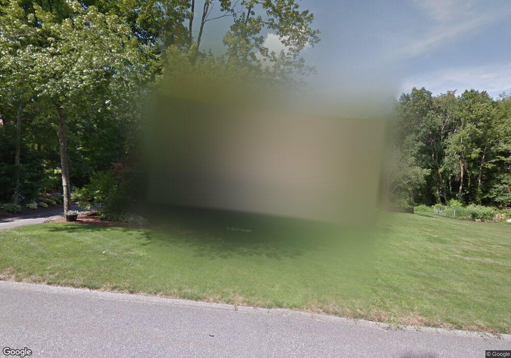
1 Algonquin Dr Wilbraham, MA 01095
Estimated Value: $634,820 - $765,000
4
Beds
4
Baths
2,705
Sq Ft
$263/Sq Ft
Est. Value
About This Home
This home is located at 1 Algonquin Dr, Wilbraham, MA 01095 and is currently estimated at $710,940, approximately $262 per square foot. 1 Algonquin Dr is a home located in Hampden County with nearby schools including Minnechaug Regional High School and Wilbraham & Monson Academy.
Ownership History
Date
Name
Owned For
Owner Type
Purchase Details
Closed on
Aug 5, 2010
Sold by
Brannigan Mark D and Audet Courtney E
Bought by
Brannigan Mark D
Current Estimated Value
Home Financials for this Owner
Home Financials are based on the most recent Mortgage that was taken out on this home.
Original Mortgage
$352,000
Outstanding Balance
$234,931
Interest Rate
4.73%
Mortgage Type
Purchase Money Mortgage
Estimated Equity
$476,009
Purchase Details
Closed on
Sep 29, 2006
Sold by
Mcmullin James R and Mcmullin Manon
Bought by
Brannigan Mark D and Audet Courtney E
Home Financials for this Owner
Home Financials are based on the most recent Mortgage that was taken out on this home.
Original Mortgage
$410,000
Interest Rate
6.52%
Mortgage Type
Purchase Money Mortgage
Create a Home Valuation Report for This Property
The Home Valuation Report is an in-depth analysis detailing your home's value as well as a comparison with similar homes in the area
Home Values in the Area
Average Home Value in this Area
Purchase History
| Date | Buyer | Sale Price | Title Company |
|---|---|---|---|
| Brannigan Mark D | -- | -- | |
| Brannigan Mark D | $455,000 | -- |
Source: Public Records
Mortgage History
| Date | Status | Borrower | Loan Amount |
|---|---|---|---|
| Open | Brannigan Mark D | $352,000 | |
| Previous Owner | Brannigan Mark D | $410,000 |
Source: Public Records
Tax History
| Year | Tax Paid | Tax Assessment Tax Assessment Total Assessment is a certain percentage of the fair market value that is determined by local assessors to be the total taxable value of land and additions on the property. | Land | Improvement |
|---|---|---|---|---|
| 2025 | $10,386 | $580,900 | $108,200 | $472,700 |
| 2024 | $10,312 | $557,400 | $108,200 | $449,200 |
| 2023 | $9,350 | $500,000 | $108,200 | $391,800 |
| 2022 | $9,016 | $440,000 | $96,200 | $343,800 |
| 2021 | $9,223 | $401,700 | $97,100 | $304,600 |
| 2020 | $8,990 | $401,700 | $97,100 | $304,600 |
| 2019 | $8,705 | $399,300 | $97,100 | $302,200 |
| 2018 | $8,775 | $387,600 | $97,100 | $290,500 |
| 2017 | $8,391 | $381,400 | $97,100 | $284,300 |
| 2016 | $7,785 | $360,400 | $107,600 | $252,800 |
| 2015 | $7,525 | $360,400 | $107,600 | $252,800 |
Source: Public Records
Map
Nearby Homes
- 699 Glendale Rd
- 691 Glendale Rd
- 694 Glendale Rd
- 694 Glendale Rd Unit 1
- 611 Glendale Rd
- 687 Glendale Rd
- 6 Algonquin Dr
- 4 Algonquin Dr
- 745 Glendale Rd
- 751 Glendale Rd
- 742 Glendale Rd
- 8 Algonquin Dr
- 10V Iroquois Ln
- 10 Iroquois Ln
- 1 Iroquois Ln
- 660 Glendale Rd
- 655 Glendale Rd Unit 657
- 10 Algonquin Dr
- 6 Red Gap Rd
- 5 Algonquin Dr
Your Personal Tour Guide
Ask me questions while you tour the home.