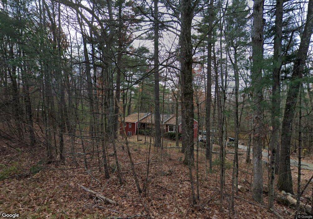
1 Allen Rd Sturbridge, MA 01566
Estimated Value: $445,000 - $597,000
3
Beds
3
Baths
1,816
Sq Ft
$281/Sq Ft
Est. Value
About This Home
This home is located at 1 Allen Rd, Sturbridge, MA 01566 and is currently estimated at $509,854, approximately $280 per square foot. 1 Allen Rd is a home located in Worcester County with nearby schools including Burgess Elementary School, Tantasqua Regional Junior High School, and Tantasqua Regional High School.
Ownership History
Date
Name
Owned For
Owner Type
Purchase Details
Closed on
Aug 26, 2025
Sold by
Sawyer Michael
Bought by
Clark John and Clark Jennifer
Current Estimated Value
Home Financials for this Owner
Home Financials are based on the most recent Mortgage that was taken out on this home.
Original Mortgage
$1,134,400
Outstanding Balance
$1,127,706
Interest Rate
6.13%
Mortgage Type
New Conventional
Estimated Equity
-$617,852
Purchase Details
Closed on
Nov 7, 1985
Bought by
Kreidemaker Frank C
Create a Home Valuation Report for This Property
The Home Valuation Report is an in-depth analysis detailing your home's value as well as a comparison with similar homes in the area
Home Values in the Area
Average Home Value in this Area
Purchase History
| Date | Buyer | Sale Price | Title Company |
|---|---|---|---|
| Clark John | $440,000 | -- | |
| Kreidemaker Frank C | $115,000 | -- |
Source: Public Records
Mortgage History
| Date | Status | Borrower | Loan Amount |
|---|---|---|---|
| Open | Clark John | $1,134,400 | |
| Previous Owner | Kreidemaker Frank C | $86,000 |
Source: Public Records
Tax History
| Year | Tax Paid | Tax Assessment Tax Assessment Total Assessment is a certain percentage of the fair market value that is determined by local assessors to be the total taxable value of land and additions on the property. | Land | Improvement |
|---|---|---|---|---|
| 2025 | $6,880 | $431,900 | $109,200 | $322,700 |
| 2024 | $6,271 | $380,300 | $107,000 | $273,300 |
| 2023 | $5,929 | $328,100 | $93,300 | $234,800 |
| 2022 | $5,703 | $297,800 | $84,600 | $213,200 |
| 2021 | $5,035 | $264,700 | $80,800 | $183,900 |
| 2020 | $5,035 | $264,700 | $80,800 | $183,900 |
| 2019 | $4,747 | $247,900 | $83,000 | $164,900 |
| 2018 | $4,570 | $235,100 | $79,200 | $155,900 |
| 2017 | $4,363 | $224,900 | $76,500 | $148,400 |
| 2016 | $4,428 | $230,500 | $74,300 | $156,200 |
| 2015 | $4,360 | $226,600 | $74,300 | $152,300 |
Source: Public Records
Map
Nearby Homes
- 208 New Boston Rd
- 13 Woodlawn Dr
- 37 Woodlawn Dr
- 41 Westwood Dr
- 1 Lane 22
- 86 Rice Corner Rd
- 6 Walker Pond Rd
- 100 Rice Rd
- 9 Old Towne Way
- 146a Cedar St
- 38 Beach Ave
- 73 New Boston Rd
- 24 Evergreen Ln
- 29, 31, 33 Ladd Rd
- 35 Ladd Rd
- 8 Stoneybrook Dr
- 2 Tupelo Dr
- 1 Chase Rd
- 26 Cedar Lake Dr
- 285 Brookfield Rd
- 300 New Boston Rd
- 5 Allen Rd
- 293 New Boston Rd
- 302 New Boston Rd
- 2 Allen Rd
- 291 New Boston Rd
- 4 Allen Rd
- 6 Allen Rd
- 289 New Boston Rd
- 298 New Boston Rd
- 298 New Boston Rd Unit 1
- 8 Allen Rd
- 287 New Boston Rd
- 305 New Boston Rd
- 307 New Boston Rd
- 285 New Boston Rd
- 10 Allen Rd
- 309 New Boston Rd
- 283 New Boston Rd
- 277 New Boston Rd
Your Personal Tour Guide
Ask me questions while you tour the home.