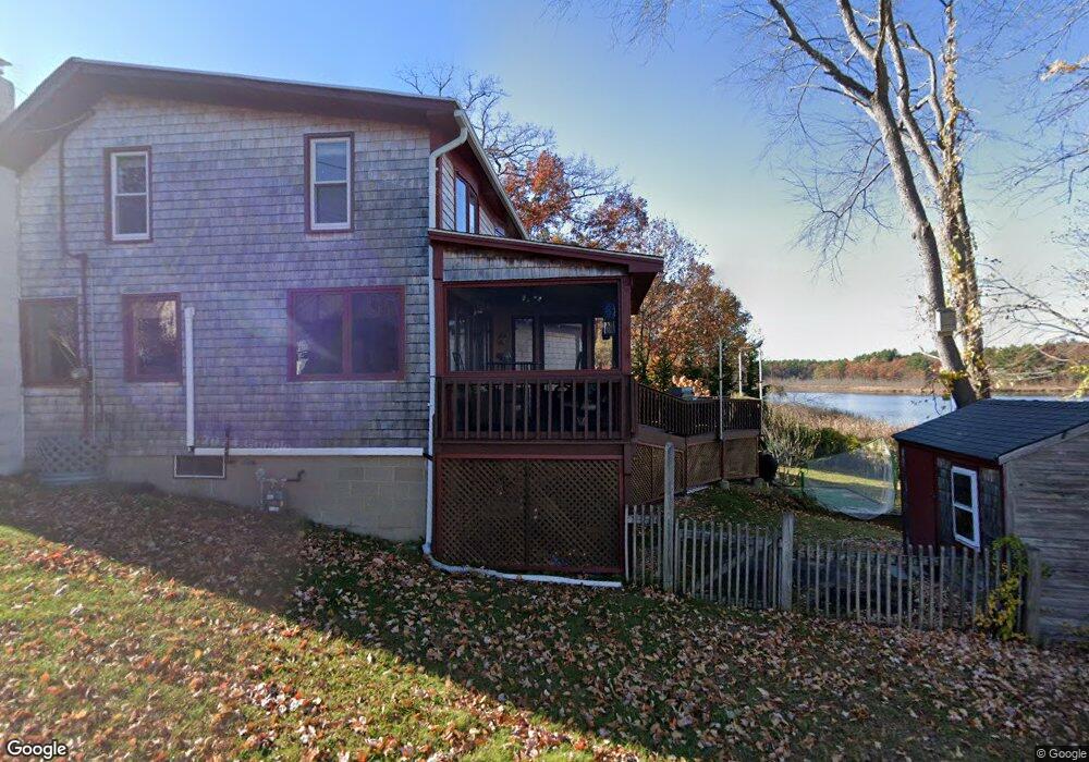
1 Alnette Rd Merrimac, MA 01860
Estimated Value: $601,000 - $917,000
3
Beds
2
Baths
1,526
Sq Ft
$466/Sq Ft
Est. Value
About This Home
This home is located at 1 Alnette Rd, Merrimac, MA 01860 and is currently estimated at $710,353, approximately $465 per square foot. 1 Alnette Rd is a home located in Essex County with nearby schools including Pentucket Regional High School.
Ownership History
Date
Name
Owned For
Owner Type
Purchase Details
Closed on
May 5, 2015
Sold by
Theriault John E and Carpino Linda A
Bought by
Carpino Theriault Ft and Theriault John E
Current Estimated Value
Purchase Details
Closed on
Aug 31, 2009
Sold by
Adahop T and Hopkinson Lea L
Bought by
Theriault John E
Home Financials for this Owner
Home Financials are based on the most recent Mortgage that was taken out on this home.
Original Mortgage
$328,500
Interest Rate
5.17%
Mortgage Type
Purchase Money Mortgage
Purchase Details
Closed on
Mar 19, 1999
Sold by
Roaf Dianne F
Bought by
Hopkinson Lynne H and Adams Margaret J
Purchase Details
Closed on
Feb 1, 1989
Sold by
Casey Joseph E
Bought by
Roaf Eugene J
Create a Home Valuation Report for This Property
The Home Valuation Report is an in-depth analysis detailing your home's value as well as a comparison with similar homes in the area
Home Values in the Area
Average Home Value in this Area
Purchase History
| Date | Buyer | Sale Price | Title Company |
|---|---|---|---|
| Carpino Theriault Ft | -- | -- | |
| Theriault John E | $365,000 | -- | |
| Hopkinson Lynne H | $229,900 | -- | |
| Roaf Eugene J | $200,000 | -- |
Source: Public Records
Mortgage History
| Date | Status | Borrower | Loan Amount |
|---|---|---|---|
| Previous Owner | Roaf Eugene J | $312,579 | |
| Previous Owner | Roaf Eugene J | $328,500 | |
| Previous Owner | Roaf Eugene J | $88,000 |
Source: Public Records
Tax History Compared to Growth
Tax History
| Year | Tax Paid | Tax Assessment Tax Assessment Total Assessment is a certain percentage of the fair market value that is determined by local assessors to be the total taxable value of land and additions on the property. | Land | Improvement |
|---|---|---|---|---|
| 2025 | $8,497 | $641,300 | $378,500 | $262,800 |
| 2024 | $8,335 | $617,400 | $362,700 | $254,700 |
| 2023 | $8,067 | $546,200 | $324,800 | $221,400 |
| 2022 | $7,614 | $466,000 | $261,800 | $204,200 |
| 2021 | $7,027 | $431,100 | $236,500 | $194,600 |
| 2020 | $5,973 | $401,400 | $214,500 | $186,900 |
| 2019 | $6,133 | $387,900 | $214,500 | $173,400 |
| 2018 | $5,866 | $372,200 | $195,500 | $176,700 |
| 2017 | $6,082 | $372,200 | $195,500 | $176,700 |
| 2016 | $5,578 | $345,200 | $176,600 | $168,600 |
| 2015 | $5,424 | $333,800 | $176,600 | $157,200 |
| 2014 | -- | $330,500 | $176,600 | $153,900 |
Source: Public Records
Map
Nearby Homes