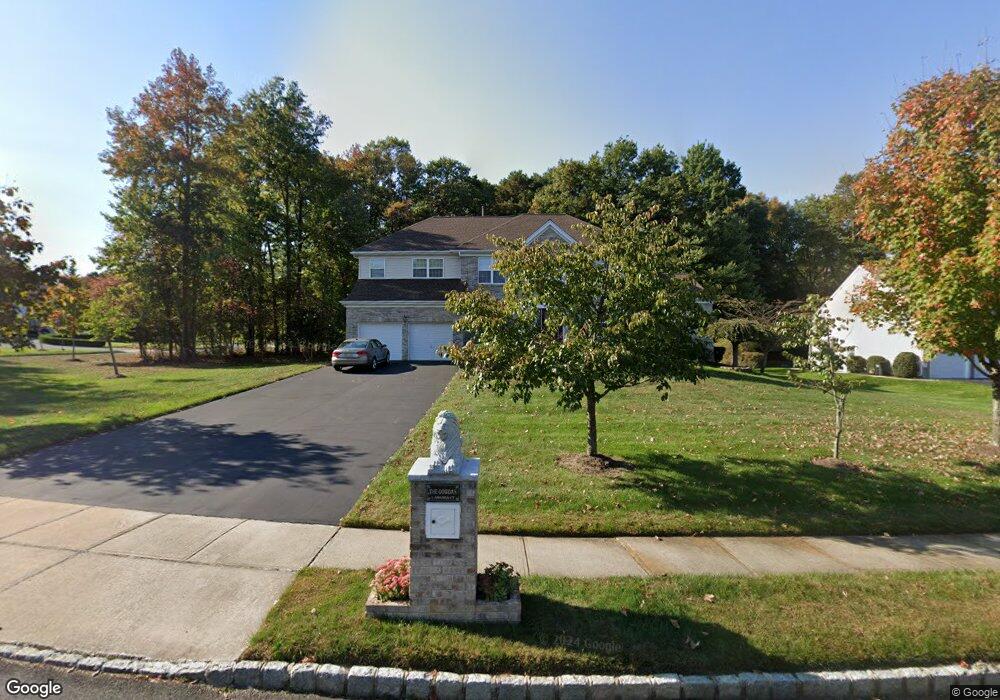
1 Amanda Ct Manalapan, NJ 07726
Estimated Value: $1,072,000 - $1,160,000
4
Beds
2
Baths
3,212
Sq Ft
$344/Sq Ft
Est. Value
About This Home
This home is located at 1 Amanda Ct, Manalapan, NJ 07726 and is currently estimated at $1,103,328, approximately $343 per square foot. 1 Amanda Ct is a home located in Monmouth County with nearby schools including Mill Lake Elementary School, Woodland Elementary School, and Monroe Township Middle School.
Ownership History
Date
Name
Owned For
Owner Type
Purchase Details
Closed on
Sep 27, 2005
Sold by
Centex Homes Llc Aka Calton Ho
Bought by
Gowda Hanumaiuh L and Gowda Amba
Current Estimated Value
Home Financials for this Owner
Home Financials are based on the most recent Mortgage that was taken out on this home.
Original Mortgage
$100,000
Interest Rate
5.62%
Mortgage Type
New Conventional
Create a Home Valuation Report for This Property
The Home Valuation Report is an in-depth analysis detailing your home's value as well as a comparison with similar homes in the area
Home Values in the Area
Average Home Value in this Area
Purchase History
| Date | Buyer | Sale Price | Title Company |
|---|---|---|---|
| Gowda Hanumaiuh L | $627,700 | -- |
Source: Public Records
Mortgage History
| Date | Status | Borrower | Loan Amount |
|---|---|---|---|
| Previous Owner | Gowda Hanumaiuh L | $100,000 |
Source: Public Records
Tax History Compared to Growth
Tax History
| Year | Tax Paid | Tax Assessment Tax Assessment Total Assessment is a certain percentage of the fair market value that is determined by local assessors to be the total taxable value of land and additions on the property. | Land | Improvement |
|---|---|---|---|---|
| 2025 | $14,275 | $915,400 | $325,000 | $590,400 |
| 2024 | $13,953 | $845,700 | $254,600 | $591,100 |
| 2023 | $13,953 | $839,000 | $254,600 | $584,400 |
| 2022 | $13,920 | $731,900 | $161,900 | $570,000 |
| 2021 | $13,920 | $668,600 | $155,600 | $513,000 |
| 2020 | $13,559 | $658,200 | $142,100 | $516,100 |
| 2019 | $13,457 | $652,300 | $142,100 | $510,200 |
| 2018 | $13,014 | $626,900 | $134,900 | $492,000 |
| 2017 | $12,243 | $590,000 | $115,100 | $474,900 |
| 2016 | $12,780 | $622,200 | $148,100 | $474,100 |
| 2015 | $13,112 | $631,600 | $164,600 | $467,000 |
| 2014 | $12,558 | $589,600 | $164,600 | $425,000 |
Source: Public Records
Map
Nearby Homes
- 12 Emily Rd
- 2605 Charleston Dr
- 3504 Charleston Dr
- Yorktown Plan at Manalapan Grove
- 52 Crimson Dr
- 15 Lone Star Ln
- 39 Crimson Dr
- 0 Tracy Station Rd
- 21 Lone Star Ln
- 32 Primrose Ct
- 29 Wilson Ave
- 22 Primrose Ct
- 24 Primrose Ct
- 77 Crimson Dr
- 36 Primrose Ct
- 87 Crimson Dr
- 89 Crimson Dr
- 85 Crimson Dr
- 91 Crimson Dr
- 0 Private St Unit 22508862