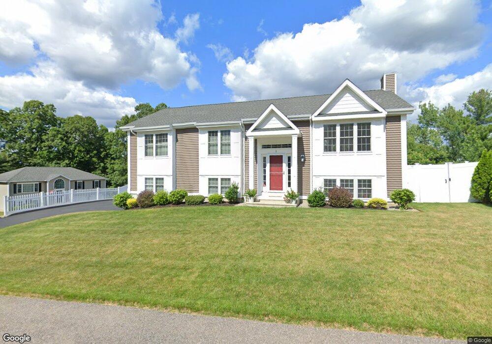
1 Amherst Drrive Auburn, MA 01501
Stoneville NeighborhoodEstimated Value: $674,349 - $720,000
3
Beds
3
Baths
2,000
Sq Ft
$349/Sq Ft
Est. Value
About This Home
This home is located at 1 Amherst Drrive, Auburn, MA 01501 and is currently estimated at $697,837, approximately $348 per square foot. 1 Amherst Drrive is a home located in Worcester County with nearby schools including Auburn Senior High School and Shrewsbury Montessori School - Auburn Campus.
Ownership History
Date
Name
Owned For
Owner Type
Purchase Details
Closed on
Aug 28, 2020
Sold by
Levesque Brian A and Levesque Lynn E
Bought by
Mulcahy Nick and Mulcahy Alyssa
Current Estimated Value
Home Financials for this Owner
Home Financials are based on the most recent Mortgage that was taken out on this home.
Original Mortgage
$404,100
Outstanding Balance
$358,612
Interest Rate
2.9%
Mortgage Type
New Conventional
Estimated Equity
$339,225
Purchase Details
Closed on
May 3, 2013
Sold by
Bryn Mawr Realty Llc
Bought by
Levesque Brian A and Levesque Lynn E
Create a Home Valuation Report for This Property
The Home Valuation Report is an in-depth analysis detailing your home's value as well as a comparison with similar homes in the area
Home Values in the Area
Average Home Value in this Area
Purchase History
| Date | Buyer | Sale Price | Title Company |
|---|---|---|---|
| Mulcahy Nick | $449,000 | None Available | |
| Levesque Brian A | $348,060 | -- |
Source: Public Records
Mortgage History
| Date | Status | Borrower | Loan Amount |
|---|---|---|---|
| Open | Mulcahy Nick | $404,100 |
Source: Public Records
Tax History Compared to Growth
Tax History
| Year | Tax Paid | Tax Assessment Tax Assessment Total Assessment is a certain percentage of the fair market value that is determined by local assessors to be the total taxable value of land and additions on the property. | Land | Improvement |
|---|---|---|---|---|
| 2025 | $85 | $592,300 | $172,500 | $419,800 |
| 2024 | $8,258 | $553,100 | $164,500 | $388,600 |
| 2023 | $7,707 | $485,300 | $139,500 | $345,800 |
| 2022 | $7,211 | $428,700 | $139,500 | $289,200 |
| 2021 | $6,841 | $377,100 | $114,300 | $262,800 |
| 2020 | $6,780 | $377,100 | $114,300 | $262,800 |
| 2019 | $6,860 | $372,400 | $113,200 | $259,200 |
| 2018 | $6,666 | $361,500 | $105,900 | $255,600 |
| 2017 | $6,351 | $346,300 | $96,000 | $250,300 |
| 2016 | $6,073 | $335,700 | $92,700 | $243,000 |
| 2015 | $5,668 | $328,400 | $92,700 | $235,700 |
| 2014 | $5,512 | $318,800 | $88,300 | $230,500 |
Source: Public Records
Map
Nearby Homes