1 Atlantic Dr Windham, ME 04062
Estimated Value: $498,000 - $562,000
3
Beds
2
Baths
1,768
Sq Ft
$296/Sq Ft
Est. Value
About This Home
This home is located at 1 Atlantic Dr, Windham, ME 04062 and is currently estimated at $522,987, approximately $295 per square foot. 1 Atlantic Dr is a home located in Cumberland County with nearby schools including Windham Primary School, Manchester School, and Windham Middle School.
Ownership History
Date
Name
Owned For
Owner Type
Purchase Details
Closed on
Nov 30, 2009
Sold by
Holland Timothy J and Holland Stephanie T
Bought by
Bressler Martin S and Hooper-Bressler Kellie J
Current Estimated Value
Home Financials for this Owner
Home Financials are based on the most recent Mortgage that was taken out on this home.
Original Mortgage
$224,730
Outstanding Balance
$143,739
Interest Rate
4.92%
Mortgage Type
VA
Estimated Equity
$379,248
Purchase Details
Closed on
Jun 6, 2008
Sold by
Sebago Land Developers
Bought by
Holland Timothy J and Holland Stephanie T
Home Financials for this Owner
Home Financials are based on the most recent Mortgage that was taken out on this home.
Original Mortgage
$215,518
Interest Rate
6.11%
Mortgage Type
FHA
Create a Home Valuation Report for This Property
The Home Valuation Report is an in-depth analysis detailing your home's value as well as a comparison with similar homes in the area
Home Values in the Area
Average Home Value in this Area
Purchase History
| Date | Buyer | Sale Price | Title Company |
|---|---|---|---|
| Bressler Martin S | -- | -- | |
| Holland Timothy J | -- | -- |
Source: Public Records
Mortgage History
| Date | Status | Borrower | Loan Amount |
|---|---|---|---|
| Open | Holland Timothy J | $224,730 | |
| Previous Owner | Holland Timothy J | $215,518 |
Source: Public Records
Tax History
| Year | Tax Paid | Tax Assessment Tax Assessment Total Assessment is a certain percentage of the fair market value that is determined by local assessors to be the total taxable value of land and additions on the property. | Land | Improvement |
|---|---|---|---|---|
| 2025 | $5,533 | $458,800 | $130,700 | $328,100 |
| 2024 | $5,262 | $458,800 | $130,700 | $328,100 |
| 2023 | $4,878 | $435,500 | $120,900 | $314,600 |
| 2022 | $4,308 | $371,100 | $108,600 | $262,500 |
| 2021 | $3,528 | $280,000 | $75,500 | $204,500 |
| 2020 | $3,704 | $246,900 | $71,400 | $175,500 |
| 2019 | $3,615 | $246,900 | $71,400 | $175,500 |
| 2018 | $3,593 | $236,700 | $74,100 | $162,600 |
| 2017 | $3,388 | $206,200 | $65,900 | $140,300 |
| 2016 | $3,237 | $206,200 | $65,900 | $140,300 |
| 2015 | $3,124 | $206,200 | $65,900 | $140,300 |
| 2014 | $2,864 | $205,200 | $65,900 | $139,300 |
| 2013 | -- | $205,200 | $65,900 | $139,300 |
Source: Public Records
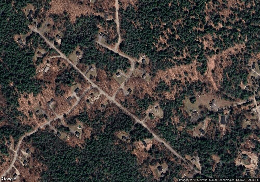
Map
Nearby Homes
- 66 James Way
- 13 Highland Ave
- 8 Feldspar Ln Unit 29
- 4 Feldspar Ln Unit 31
- 1 Feldspar Ln Unit 1
- 31 Feldspar Ln Unit 16
- 12 Feldspar Ln Unit 27
- 19 Feldspar Ln Unit 10
- 21 Feldspar Ln Unit 11
- 24 Feldspar Ln Unit 23
- 4 Highland Ave
- 26 Feldspar Ln Unit 22
- 1,8 Sugar Maple Rd
- 0 Tinker Ln Unit 57D
- 0 Pointer Way Unit LOT 57
- 11 Dragonfly Dr
- 000 Falmouth Rd
- 4 Hayfield Ln
- 0 Thomes Way
- 8 Summer Way
- 4 Atlantic Dr
- 7 Atlantic Dr
- 41 James Way
- 50 James Way
- 11 Atlantic Dr
- 0 Bruschi Unit 896762
- 56 James Way
- 42 James Way
- 61 James Way
- 3 Bruschi Rd
- 1 Bruschi Rd
- 00 James Way
- 18 Atlantic Dr
- 65 James Way
- 12 Cyprus Hill Dr
- 8 Bruschi Rd
- 10 Cyprus Hill Dr Unit Lot 2
- 10 Cyprus Hill Dr
- 22 Atlantic Dr
- 9 Bruschi Rd
Your Personal Tour Guide
Ask me questions while you tour the home.