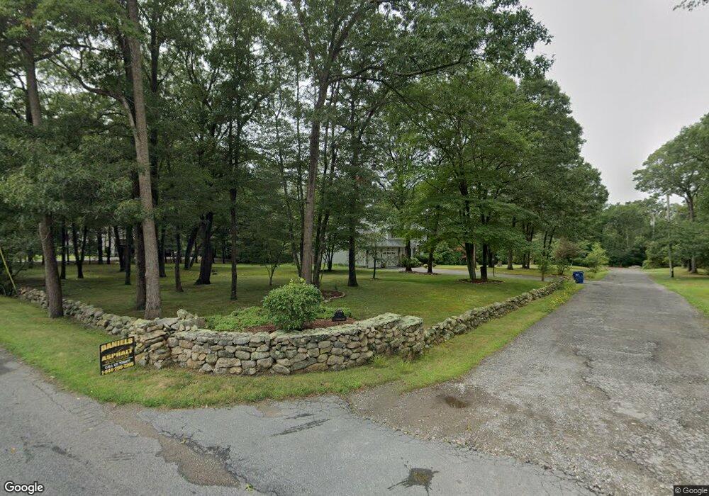
1 Attatash Way Westport, MA 02790
Estimated Value: $726,283 - $1,197,000
4
Beds
--
Bath
2,554
Sq Ft
$360/Sq Ft
Est. Value
About This Home
This home is located at 1 Attatash Way, Westport, MA 02790 and is currently estimated at $918,321, approximately $359 per square foot. 1 Attatash Way is a home located in Bristol County with nearby schools including Alice A. Macomber Primary School, Westport Elementary School, and Westport Middle-High School.
Ownership History
Date
Name
Owned For
Owner Type
Purchase Details
Closed on
May 29, 1990
Sold by
Donovan Jeremiah J
Bought by
Knarr Paul A
Current Estimated Value
Create a Home Valuation Report for This Property
The Home Valuation Report is an in-depth analysis detailing your home's value as well as a comparison with similar homes in the area
Home Values in the Area
Average Home Value in this Area
Purchase History
| Date | Buyer | Sale Price | Title Company |
|---|---|---|---|
| Knarr Paul A | $220,000 | -- |
Source: Public Records
Mortgage History
| Date | Status | Borrower | Loan Amount |
|---|---|---|---|
| Open | Knarr Paul A | $25,000 | |
| Open | Knarr Paul A | $135,000 | |
| Closed | Knarr Paul A | $120,000 |
Source: Public Records
Tax History Compared to Growth
Tax History
| Year | Tax Paid | Tax Assessment Tax Assessment Total Assessment is a certain percentage of the fair market value that is determined by local assessors to be the total taxable value of land and additions on the property. | Land | Improvement |
|---|---|---|---|---|
| 2025 | $4,194 | $563,000 | $165,200 | $397,800 |
| 2024 | $4,188 | $541,800 | $153,100 | $388,700 |
| 2023 | $4,121 | $505,000 | $139,000 | $366,000 |
| 2022 | $3,926 | $463,000 | $139,000 | $324,000 |
| 2021 | $3,822 | $443,400 | $126,500 | $316,900 |
| 2020 | $3,394 | $402,600 | $121,500 | $281,100 |
| 2019 | $3,216 | $388,900 | $121,500 | $267,400 |
| 2018 | $3,386 | $414,500 | $126,500 | $288,000 |
| 2017 | $3,307 | $414,900 | $126,500 | $288,400 |
| 2016 | $3,037 | $384,000 | $126,500 | $257,500 |
| 2015 | $2,964 | $373,800 | $126,500 | $247,300 |
Source: Public Records
Map
Nearby Homes
- 73 White Oak Run
- 2 Slades Farm Ln
- 225 Hixbridge Rd
- 920 Drift Rd
- 118 Charlotte White Rd Extension
- 0 Hidden Glen Ln
- 47 Fallon Dr
- 837 Main Rd
- 99 Sylvia Ln
- Lot 0 Marcotte
- 7 Village Way
- 8 Village Way
- 15 Village Way
- 8 Strawberry Ln
- 1150 Russells Mills Rd
- 101 Adamsville Rd
- 118 Charlotte White Rd
- Lot 2E Horseneck Rd
- 1346 Main Rd Unit B
- 4 Main Rd
- 149 Old Pine Hill Rd
- 2 Attatash Way
- 7 Attatash Way
- 155 Old Pine Hill Rd
- 131 Old Pine Hill Rd
- 163 Old Pine Hill Rd
- 6 Attatash Way
- 125 Old Pine Hill Rd
- 1 Caroline Way
- 3 Caroline Way
- 164 Old Pine Hill Rd
- 119 Old Pine Hill Rd
- 4 Caroline Way
- 2 Caroline Way
- 174 Old Pine Hill Rd
- 186 Old Pine Hill Rd
- 115 Old Pine Hill Rd
- 185 Old Pine Hill Rd
- 191 Old Pine Hill Rd
- 194 Old Pine Hill Rd