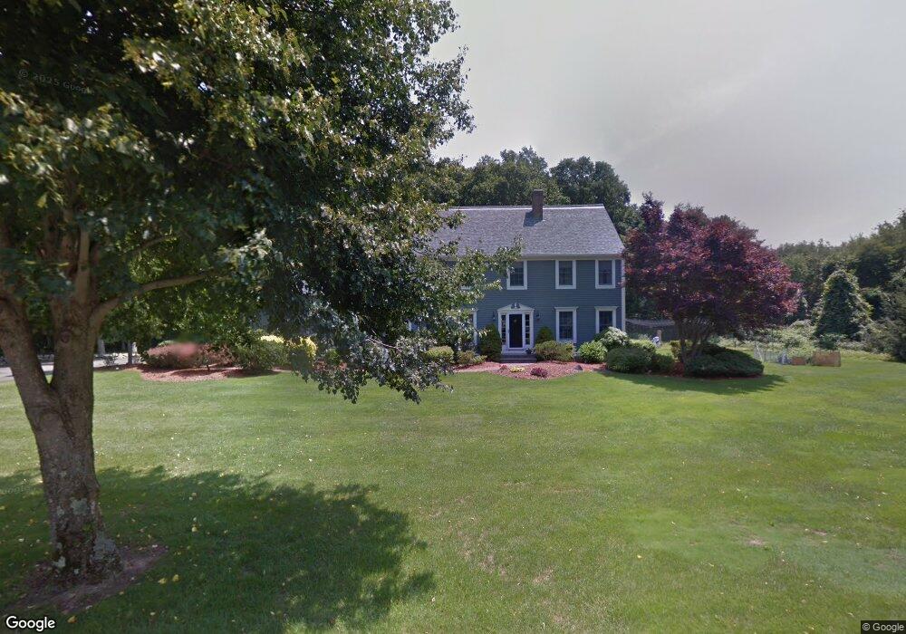
1 Augusta Cir Rehoboth, MA 02769
Estimated Value: $815,482 - $1,002,000
4
Beds
3
Baths
2,843
Sq Ft
$323/Sq Ft
Est. Value
About This Home
This home is located at 1 Augusta Cir, Rehoboth, MA 02769 and is currently estimated at $917,621, approximately $322 per square foot. 1 Augusta Cir is a home located in Bristol County with nearby schools including Dighton-Rehoboth Regional High School.
Ownership History
Date
Name
Owned For
Owner Type
Purchase Details
Closed on
Aug 25, 1993
Sold by
Lefort Louis G and Lefort Sharon K
Bought by
Mitchell David J and Mitchell Kileen R
Current Estimated Value
Home Financials for this Owner
Home Financials are based on the most recent Mortgage that was taken out on this home.
Original Mortgage
$150,000
Interest Rate
7.06%
Mortgage Type
Purchase Money Mortgage
Purchase Details
Closed on
Sep 17, 1992
Sold by
Chestnut Brook Rlty
Bought by
Lefort Louis G and Lefort Sharon K
Create a Home Valuation Report for This Property
The Home Valuation Report is an in-depth analysis detailing your home's value as well as a comparison with similar homes in the area
Home Values in the Area
Average Home Value in this Area
Purchase History
| Date | Buyer | Sale Price | Title Company |
|---|---|---|---|
| Mitchell David J | $220,000 | -- | |
| Lefort Louis G | $61,000 | -- |
Source: Public Records
Mortgage History
| Date | Status | Borrower | Loan Amount |
|---|---|---|---|
| Open | Lefort Louis G | $69,000 | |
| Closed | Lefort Louis G | $50,000 | |
| Closed | Lefort Louis G | $25,000 | |
| Closed | Lefort Louis G | $150,000 |
Source: Public Records
Tax History
| Year | Tax Paid | Tax Assessment Tax Assessment Total Assessment is a certain percentage of the fair market value that is determined by local assessors to be the total taxable value of land and additions on the property. | Land | Improvement |
|---|---|---|---|---|
| 2025 | $78 | $700,900 | $190,300 | $510,600 |
| 2024 | $7,830 | $689,300 | $190,300 | $499,000 |
| 2023 | $7,219 | $623,400 | $186,300 | $437,100 |
| 2022 | $6,910 | $545,400 | $177,900 | $367,500 |
| 2021 | $2,869 | $514,000 | $161,600 | $352,400 |
| 2020 | $1,274 | $514,000 | $161,600 | $352,400 |
| 2018 | $1,197 | $473,800 | $153,800 | $320,000 |
| 2017 | $5,442 | $433,300 | $153,800 | $279,500 |
| 2016 | $5,265 | $433,300 | $153,800 | $279,500 |
| 2015 | $4,908 | $398,700 | $146,600 | $252,100 |
| 2014 | $4,870 | $391,500 | $139,400 | $252,100 |
Source: Public Records
Map
Nearby Homes
- 197 Chestnut St
- 42 Linden Ln
- 25 Columbine Rd
- 75 Martin St
- 8 Linden Ln
- 8 Linden Ln
- 67 Martin St
- 185 Moulton St
- 129 Cameron Way
- 3a Johnnies Way
- 0 Winter St
- 3b Johnnies Way
- 3 Johnnies Way
- 46 Mikayla Ann Dr
- 16 Martin St
- 203 Providence St Bldr Lot 5
- 205 Providence St Bldr Lot 3
- 17 Sassafras Rd
- 263 Plain St
- 127 Mason St
- 5 Augusta Cir
- 23 Calisto Dr
- 19 Calisto Dr
- 42 Pleasant St
- 264 Chestnut St
- 18 Calisto Dr
- 270 Chestnut St
- 258 Chestnut St
- 1 Nichols St
- 15 Calisto Dr
- 263 Chestnut St
- 14 Calisto Dr
- 46 Pleasant St
- 38 Pleasant St
- 2 Nichols St
- 271 Chestnut St
- 259 Chestnut St
- 6 Nichols St
- 248 Chestnut St Unit 252
- 9 Nichols St
Your Personal Tour Guide
Ask me questions while you tour the home.