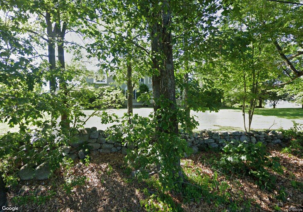
1 Baldwin Rd Westford, MA 01886
Estimated Value: $1,144,669 - $1,351,000
4
Beds
3
Baths
2,917
Sq Ft
$440/Sq Ft
Est. Value
About This Home
This home is located at 1 Baldwin Rd, Westford, MA 01886 and is currently estimated at $1,282,417, approximately $439 per square foot. 1 Baldwin Rd is a home located in Middlesex County with nearby schools including Nabnasset Elementary, Abbot Elementary School, and Stony Brook School.
Ownership History
Date
Name
Owned For
Owner Type
Purchase Details
Closed on
Dec 9, 2005
Sold by
Turner Anita K and Turner Gregory M
Bought by
Nichols Christopher M and Nichols Rebecca J
Current Estimated Value
Home Financials for this Owner
Home Financials are based on the most recent Mortgage that was taken out on this home.
Original Mortgage
$556,800
Outstanding Balance
$309,309
Interest Rate
6.17%
Mortgage Type
Purchase Money Mortgage
Estimated Equity
$973,108
Purchase Details
Closed on
Mar 26, 2004
Sold by
Lavely Eugene M and Lavely Julia Stiffler
Bought by
Turner Anita K and Turner Gregory M
Home Financials for this Owner
Home Financials are based on the most recent Mortgage that was taken out on this home.
Original Mortgage
$458,320
Interest Rate
5.65%
Mortgage Type
Purchase Money Mortgage
Purchase Details
Closed on
Jul 29, 2003
Sold by
Lavely Rt and Lavely Eugene M
Bought by
Lavely Eugene M and Lavely Julia Stiffler
Purchase Details
Closed on
Mar 22, 2000
Sold by
Kane John N and Kane Joan P
Bought by
Lavely Eugene M and Stiffler-Lavely Julia
Home Financials for this Owner
Home Financials are based on the most recent Mortgage that was taken out on this home.
Original Mortgage
$250,000
Interest Rate
8.31%
Mortgage Type
Purchase Money Mortgage
Create a Home Valuation Report for This Property
The Home Valuation Report is an in-depth analysis detailing your home's value as well as a comparison with similar homes in the area
Home Values in the Area
Average Home Value in this Area
Purchase History
| Date | Buyer | Sale Price | Title Company |
|---|---|---|---|
| Nichols Christopher M | $696,000 | -- | |
| Turner Anita K | $572,900 | -- | |
| Lavely Eugene M | -- | -- | |
| Lavely Eugene M | $438,000 | -- |
Source: Public Records
Mortgage History
| Date | Status | Borrower | Loan Amount |
|---|---|---|---|
| Open | Nichols Christopher M | $556,800 | |
| Previous Owner | Turner Anita K | $458,320 | |
| Previous Owner | Lavely Eugene M | $250,000 |
Source: Public Records
Tax History
| Year | Tax Paid | Tax Assessment Tax Assessment Total Assessment is a certain percentage of the fair market value that is determined by local assessors to be the total taxable value of land and additions on the property. | Land | Improvement |
|---|---|---|---|---|
| 2025 | $15,989 | $1,187,000 | $368,500 | $818,500 |
| 2024 | $15,746 | $1,143,500 | $361,300 | $782,200 |
| 2023 | $14,528 | $984,300 | $344,400 | $639,900 |
| 2022 | $15,075 | $935,200 | $309,200 | $626,000 |
| 2021 | $13,796 | $829,100 | $309,200 | $519,900 |
| 2020 | $8,253 | $831,400 | $309,200 | $522,200 |
| 2019 | $13,077 | $789,700 | $309,200 | $480,500 |
| 2018 | $12,616 | $779,700 | $299,200 | $480,500 |
| 2017 | $11,820 | $720,300 | $299,200 | $421,100 |
| 2016 | $11,544 | $708,200 | $285,800 | $422,400 |
| 2015 | $11,347 | $698,700 | $275,700 | $423,000 |
| 2014 | $10,978 | $661,300 | $266,500 | $394,800 |
Source: Public Records
Map
Nearby Homes
- 10 Aldrich Ln
- 12 Brookside Rd Unit 28
- 55 Thomas Dr
- 128 Main St Unit 1
- 17 Drexel Dr
- 5 Kirsi Cir
- 4 Grove St
- 143 Pine Hill Rd
- 216 Main St
- 8 Wilson Ln
- 360 Littleton Rd Unit A4
- 360 Littleton Rd Unit D8
- 192 Mason Ave
- 4 Charlemont Ct
- 243 Mason Ave
- 20 Byrne Ave
- 189 Littleton Rd Unit 59
- 235 New Yorker Ave
- 8 Barry Dr
- 4 Heywood Rd
Your Personal Tour Guide
Ask me questions while you tour the home.