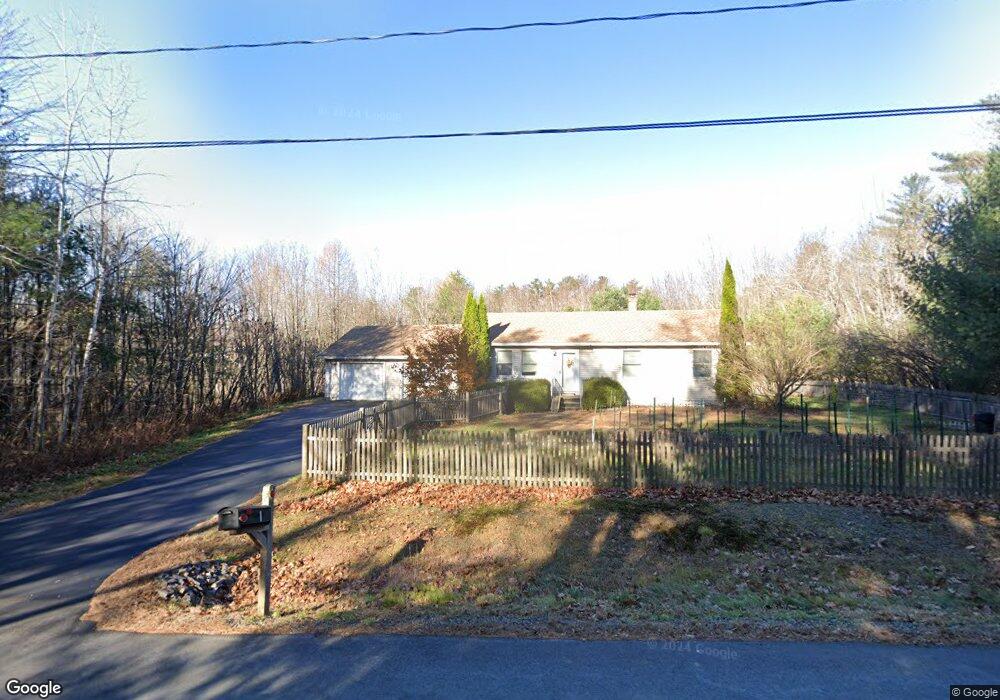
1 Balsam Ln Gorham, ME 04038
Estimated Value: $416,805 - $514,000
3
Beds
1
Bath
1,092
Sq Ft
$423/Sq Ft
Est. Value
About This Home
This home is located at 1 Balsam Ln, Gorham, ME 04038 and is currently estimated at $462,201, approximately $423 per square foot. 1 Balsam Ln is a home with nearby schools including Village Elementary School and Gorham High School.
Create a Home Valuation Report for This Property
The Home Valuation Report is an in-depth analysis detailing your home's value as well as a comparison with similar homes in the area
Home Values in the Area
Average Home Value in this Area
Tax History Compared to Growth
Tax History
| Year | Tax Paid | Tax Assessment Tax Assessment Total Assessment is a certain percentage of the fair market value that is determined by local assessors to be the total taxable value of land and additions on the property. | Land | Improvement |
|---|---|---|---|---|
| 2024 | $4,422 | $300,800 | $76,800 | $224,000 |
| 2023 | $4,136 | $300,800 | $76,800 | $224,000 |
| 2022 | $3,865 | $300,800 | $76,800 | $224,000 |
| 2021 | $3,379 | $174,200 | $64,200 | $110,000 |
| 2020 | $3,310 | $174,200 | $64,200 | $110,000 |
| 2019 | $3,301 | $174,200 | $64,200 | $110,000 |
| 2018 | $3,150 | $173,100 | $64,200 | $108,900 |
| 2017 | $2,960 | $173,100 | $64,200 | $108,900 |
| 2016 | $2,943 | $173,100 | $64,200 | $108,900 |
| 2015 | $2,339 | $143,500 | $64,200 | $79,300 |
| 2014 | $2,497 | $143,500 | $59,000 | $84,500 |
| 2013 | $2,483 | $143,500 | $59,000 | $84,500 |
Source: Public Records
Map
Nearby Homes
- 14 Patrick Dr
- 125 Old Thompson Rd
- 22 Finn Parker Rd
- 21 Alexander Dr
- 00 Ossipee Trail E
- 135 Buck St
- 183 Buck St
- 116 Dingley Spring Rd
- 379 Bonny Eagle Rd
- 30 Joan Dixon Way
- 35 Rust Rd
- 63 Ossipee Trail E
- 27 Ossipee Trail E Unit 1
- 66 Ossipee Trail East Trail E
- 580 Bonny Eagle Rd
- 8 Cortland Place Unit 5
- 6 Cortland Place Unit 4
- 4 Cortland Place Unit 3
- Lot 2 Commerce Way
- 47 Proprietors Rd